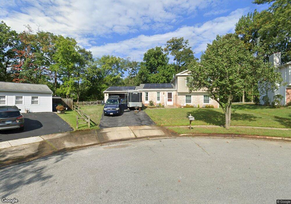
6302 Sandy St Laurel, MD 20707
West Laurel NeighborhoodEstimated Value: $508,000 - $564,000
About This Home
This home is located at 6302 Sandy St, Laurel, MD 20707 and is currently estimated at $537,419, approximately $309 per square foot. 6302 Sandy St is a home located in Prince George's County with nearby schools including Bond Mill Elementary, Martin Luther King Jr. Middle School, and Laurel High School.
Ownership History
We collect this data history from publicly available records. To have your information removed, we recommend requesting removal directly through your county’s website.
Purchase Details
Home Financials for this Owner
Home Financials are based on the most recent Mortgage that was taken out on this home.Purchase Details
Home Financials for this Owner
Home Financials are based on the most recent Mortgage that was taken out on this home.Purchase Details
Purchase Details
Home Values in the Area
Average Home Value in this Area
Purchase History
We collect this data history from publicly available records. To have your information removed, we recommend requesting removal directly through your county’s website.
| Date | Buyer | Sale Price | Title Company |
|---|---|---|---|
| -- | None Available | ||
| $287,000 | -- | ||
| -- | -- | ||
| $153,250 | -- |
Mortgage History
We collect this data history from publicly available records. To have your information removed, we recommend requesting removal directly through your county’s website.
| Date | Status | Borrower | Loan Amount |
|---|---|---|---|
| Open | $294,200 | ||
| Closed | $293,150 |
Tax History
We collect this data history from publicly available records. To have your information removed, we recommend requesting removal directly through your county’s website.
| Year | Tax Paid | Tax Assessment Tax Assessment Total Assessment is a certain percentage of the fair market value that is determined by local assessors to be the total taxable value of land and additions on the property. | Land | Improvement |
|---|---|---|---|---|
| 2025 | $5,764 | $427,400 | $141,400 | $286,000 |
| 2024 | $5,764 | $399,933 | -- | -- |
| 2023 | $5,530 | $372,467 | $0 | $0 |
| 2022 | $5,238 | $345,000 | $101,400 | $243,600 |
| 2021 | $5,039 | $335,000 | $0 | $0 |
| 2020 | $4,960 | $325,000 | $0 | $0 |
| 2019 | $4,853 | $315,000 | $100,700 | $214,300 |
| 2018 | $4,704 | $301,867 | $0 | $0 |
| 2017 | $4,585 | $288,733 | $0 | $0 |
| 2016 | -- | $275,600 | $0 | $0 |
| 2015 | $4,401 | $275,600 | $0 | $0 |
| 2014 | $4,401 | $275,600 | $0 | $0 |
Map
- 6504 Walker Branch Dr
- 6109 Parkway Dr
- 5807 Parkway Dr
- 6707 Sandy View Ct
- 16011 Jerald Rd
- 15307 Riding Path Ct
- 15901 Bond Mill Rd
- 6918 Scotch Dr
- 6920 Scotch Dr
- 15800 Kerr Rd
- 7011 Old Sandy Spring Rd
- 16302 Gales St
- 6609 Mccahill Terrace
- 7012 Redmiles Rd
- 16308 Gales St
- 1012 Flester Ln
- 15518 Casulas Way
- 1042 Highpoint Trail
- 1049 Highpoint Trail
- 1030 Flester Ln
Ask me questions while you tour the home.