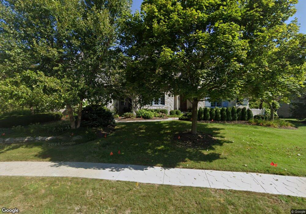
6302 W Foster Branch Dr Pendleton, IN 46064
Estimated Value: $762,000 - $913,000
4
Beds
6
Baths
6,223
Sq Ft
$135/Sq Ft
Est. Value
About This Home
This home is located at 6302 W Foster Branch Dr, Pendleton, IN 46064 and is currently estimated at $838,379, approximately $134 per square foot. 6302 W Foster Branch Dr is a home located in Madison County with nearby schools including Maple Ridge Elementary School, Pendleton Heights Middle School, and Pendleton Heights High School.
Ownership History
Date
Name
Owned For
Owner Type
Purchase Details
Closed on
Feb 27, 2007
Sold by
Us Bank National Assn
Bought by
Campbell Scott
Current Estimated Value
Purchase Details
Closed on
Nov 17, 2006
Sold by
Besigner James J
Bought by
Us Bank Na
Purchase Details
Closed on
Oct 13, 2005
Sold by
Besinger Alicia G
Bought by
Besinger James J
Create a Home Valuation Report for This Property
The Home Valuation Report is an in-depth analysis detailing your home's value as well as a comparison with similar homes in the area
Home Values in the Area
Average Home Value in this Area
Purchase History
| Date | Buyer | Sale Price | Title Company |
|---|---|---|---|
| Campbell Scott | $27,000 | -- | |
| Us Bank National Assn | -- | -- | |
| Us Bank Na | $520,000 | -- | |
| Besinger James J | -- | -- |
Source: Public Records
Tax History Compared to Growth
Tax History
| Year | Tax Paid | Tax Assessment Tax Assessment Total Assessment is a certain percentage of the fair market value that is determined by local assessors to be the total taxable value of land and additions on the property. | Land | Improvement |
|---|---|---|---|---|
| 2025 | $7,139 | $713,900 | $83,800 | $630,100 |
| 2024 | $7,139 | $713,900 | $83,800 | $630,100 |
| 2023 | $6,520 | $650,900 | $79,800 | $571,100 |
| 2022 | $6,471 | $647,100 | $76,000 | $571,100 |
| 2021 | $5,871 | $588,100 | $57,100 | $531,000 |
| 2020 | $5,594 | $559,400 | $54,400 | $505,000 |
| 2019 | $5,504 | $550,400 | $54,400 | $496,000 |
| 2018 | $5,119 | $509,800 | $54,400 | $455,400 |
| 2017 | $5,106 | $509,400 | $54,400 | $455,000 |
| 2016 | $5,117 | $509,400 | $54,400 | $455,000 |
| 2014 | $5,076 | $504,500 | $54,400 | $450,100 |
| 2013 | $5,076 | $509,400 | $54,400 | $455,000 |
Source: Public Records
Map
Nearby Homes
- 5758 Bancroft Dr
- 5757 Bancroft Dr
- 5752 Bancroft Dr
- 5746 Bancroft Dr
- 7145 Theo Baker Blvd
- 5740 Bancroft Dr
- 7153 Theo Baker Blvd
- 7121 Theo Baker Blvd
- 5734 Bancroft Dr
- 7105 Theo Baker Blvd
- 7129 Theo Baker Blvd
- Fairfax Plan at Baker's Pointe
- Henley Plan at Baker's Pointe
- Chatham Plan at Baker's Pointe
- Johnstown Plan at Baker's Pointe
- Dayton Plan at Baker's Pointe
- Stamford Plan at Baker's Pointe
- Cortland Plan at Baker's Pointe
- 0 S 625 W Unit MBR22068058
- 0 W Sr 38 Rd Unit MBR22064798
- 6302 W Foster Branch Woods
- 6276 W Foster Branch Dr
- 6320 W Foster Branch Dr
- 6 W Foster Branch Dr
- 6333 W Foster Branch Dr
- 6254 W Foster Branch Dr
- 6315 W Foster Branch Dr
- 6271 W Foster Branch Dr
- 6249 W Foster Branch Dr
- 6228 W Foster Branch Dr
- 6699 S 600 W
- 6297 W Foster Branch Dr
- 6297 Foster Branch Woods Dr
- 6363 W State Road 38
- 6204 W Foster Branch Dr
- 6221 W Foster Branch Dr
- 6363 W Sr 38
- 6180 W Foster Branch Dr
- 6715 S 600 W
- Lot 11 W Foster Branch Dr