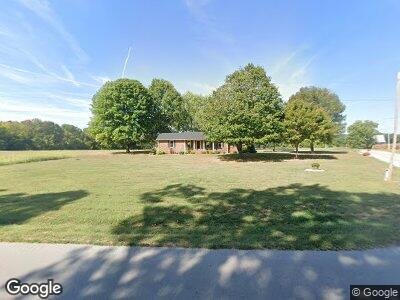
6303 Orndorff Mill Rd Olmstead, KY 42265
Estimated Value: $179,574 - $350,000
3
Beds
2
Baths
1,404
Sq Ft
$167/Sq Ft
Est. Value
About This Home
This home is located at 6303 Orndorff Mill Rd, Olmstead, KY 42265 and is currently estimated at $234,894, approximately $167 per square foot. 6303 Orndorff Mill Rd is a home located in Logan County with nearby schools including Logan County High School.
Ownership History
Date
Name
Owned For
Owner Type
Purchase Details
Closed on
Mar 5, 2018
Sold by
Michael Haynes James
Bought by
Nash Dustin L and Nash Alysse M
Current Estimated Value
Home Financials for this Owner
Home Financials are based on the most recent Mortgage that was taken out on this home.
Original Mortgage
$120,280
Outstanding Balance
$104,288
Interest Rate
4.04%
Mortgage Type
New Conventional
Estimated Equity
$134,819
Create a Home Valuation Report for This Property
The Home Valuation Report is an in-depth analysis detailing your home's value as well as a comparison with similar homes in the area
Home Values in the Area
Average Home Value in this Area
Purchase History
| Date | Buyer | Sale Price | Title Company |
|---|---|---|---|
| Nash Dustin L | $124,000 | -- | |
| Nash Dustin Lee Alan | $124,000 | None Available |
Source: Public Records
Mortgage History
| Date | Status | Borrower | Loan Amount |
|---|---|---|---|
| Open | Nash Dustin Lee Alan | $120,280 |
Source: Public Records
Tax History Compared to Growth
Tax History
| Year | Tax Paid | Tax Assessment Tax Assessment Total Assessment is a certain percentage of the fair market value that is determined by local assessors to be the total taxable value of land and additions on the property. | Land | Improvement |
|---|---|---|---|---|
| 2024 | $1,084 | $124,000 | $10,000 | $114,000 |
| 2023 | $1,114 | $124,000 | $10,000 | $114,000 |
| 2022 | $1,101 | $124,000 | $10,000 | $114,000 |
| 2021 | $1,105 | $124,000 | $10,000 | $114,000 |
| 2020 | $1,122 | $124,000 | $10,000 | $114,000 |
| 2019 | $1,119 | $124,000 | $10,000 | $114,000 |
| 2018 | $938 | $105,000 | $10,000 | $95,000 |
| 2017 | $924 | $105,000 | $10,000 | $95,000 |
| 2016 | $671 | $77,000 | $0 | $0 |
| 2015 | $611 | $77,000 | $11,000 | $66,000 |
| 2012 | $611 | $77,000 | $0 | $0 |
Source: Public Records
Map
Nearby Homes
- 266 Camp Ground Rd
- 2059 Oakville Ln
- 0 Smith Rd
- 0 Dot Rd Unit RTC2819553
- 416 Sampson Ave
- 408 N High St
- 943 Smith Grove Rd
- 131 Smith Ave
- 112 Burr Alley
- 1002 Minnie Ellis
- 108 Red Bird Ave
- 549 Sam Mason Rd
- 324 Franklynn Hills Dr
- 4411 Benson Rd
- 4 Keysburg Rd
- 1a Keysburg Rd
- 3 Keysburg Rd
- 5 Keysburg Rd
- 1 Keysburg Rd
- 6512 Buzzard Creek Rd