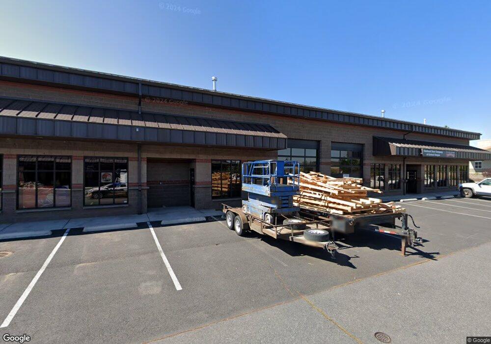
63056 Lower Meadow Dr Unit 190 Bend, OR 97701
Boyd Acres NeighborhoodEstimated Value: $1,079,379
--
Bed
--
Bath
3,896
Sq Ft
$277/Sq Ft
Est. Value
About This Home
This home is located at 63056 Lower Meadow Dr Unit 190, Bend, OR 97701 and is currently priced at $1,079,379, approximately $277 per square foot. 63056 Lower Meadow Dr Unit 190 is a home located in Deschutes County with nearby schools including Lava Ridge Elementary School, Sky View Middle School, and Mountain View Senior High School.
Ownership History
Date
Name
Owned For
Owner Type
Purchase Details
Closed on
Sep 18, 2008
Sold by
Spencer Kevin L and Spencer Linda C
Bought by
Freund/Spencer Investment Group Llc
Current Estimated Value
Purchase Details
Closed on
Dec 5, 2006
Sold by
Freund/Spencer Investment Group Llc
Bought by
Spencer Kevin L and Spencer Linda C
Create a Home Valuation Report for This Property
The Home Valuation Report is an in-depth analysis detailing your home's value as well as a comparison with similar homes in the area
Home Values in the Area
Average Home Value in this Area
Purchase History
| Date | Buyer | Sale Price | Title Company |
|---|---|---|---|
| Freund/Spencer Investment Group Llc | -- | Amerititle | |
| Spencer Kevin L | -- | Accommodation |
Source: Public Records
Tax History Compared to Growth
Tax History
| Year | Tax Paid | Tax Assessment Tax Assessment Total Assessment is a certain percentage of the fair market value that is determined by local assessors to be the total taxable value of land and additions on the property. | Land | Improvement |
|---|---|---|---|---|
| 2025 | $30,274 | $1,791,750 | -- | -- |
| 2024 | $29,126 | $1,739,570 | -- | -- |
| 2023 | $27,000 | $1,688,910 | $0 | $0 |
| 2022 | $25,190 | $1,591,970 | $0 | $0 |
| 2021 | $25,229 | $1,545,610 | $0 | $0 |
| 2020 | $23,934 | $1,545,610 | $0 | $0 |
| 2019 | $23,268 | $1,500,600 | $0 | $0 |
| 2018 | $22,611 | $1,456,900 | $0 | $0 |
| 2017 | $21,948 | $1,414,470 | $0 | $0 |
| 2016 | $20,832 | $1,366,880 | $0 | $0 |
| 2015 | $20,255 | $1,327,070 | $0 | $0 |
| 2014 | $19,659 | $1,288,420 | $0 | $0 |
Source: Public Records
Map
Nearby Homes
- 63150 Peale St
- 20751 Boulderfield Ave
- 20663 NE Sierra Dr
- 63190 Carly Ln
- 20577 NE Sierra Dr
- 20560 Boyd Ct
- 21072 NE High Desert Ln
- 63103 Watercress Way
- 20532 NE Empire Ave
- 20530 NE Empire Ave
- 20528 NE Empire Ave
- 20585 Fred Meyers Rd
- 63157 Watercress Way
- 20514 NE Empire Ave
- 63131 NE De Haviland St
- Avery Plan at Acadia Pointe
- Jade Plan at Acadia Pointe
- Hickory Plan at Acadia Pointe
- Larwood Plan at Acadia Pointe
- Magnolia Plan at Acadia Pointe
- 63056 Lower Meadow Dr
- 63040 Lower Meadow Dr Unit 1-10
- 63040 Lower Meadow Dr
- 63068 Lower Meadow Rd
- 63068 NE Lower Meadow Dr
- 63132 Peale St
- 63128 Peale St
- 87 NE Empire Ave
- 86 NE Empire Ave
- 63127 Peale St
- 63131 Peale St
- 63140 Peale St
- 63032 Lower Meadow Dr Unit 110
- 63032 Lower Meadow Dr
- 63032 Lower Meadow Dr Unit 150
- 20720 Empire Blvd
- 63043 Lower Meadow Dr Unit 130
- 63043 Lower Meadow Dr Unit 140
- 63043 Lower Meadow Dr Unit 120
- 63043 Lower Meadow Dr Unit 150