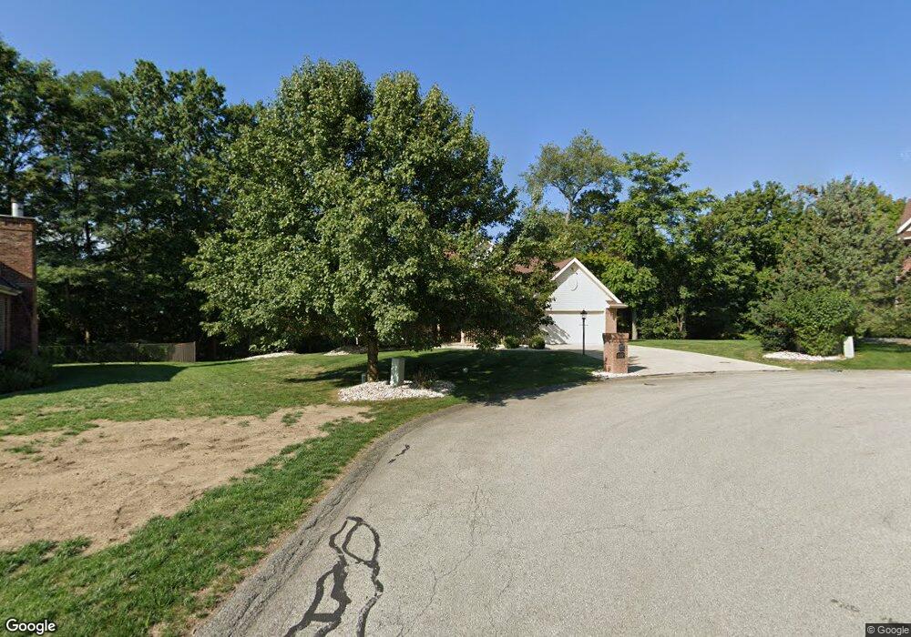
6307 Doe Cir Trafford, PA 15085
Penn Township NeighborhoodEstimated Value: $396,614 - $617,000
4
Beds
4
Baths
1,146
Sq Ft
$424/Sq Ft
Est. Value
About This Home
This home is located at 6307 Doe Cir, Trafford, PA 15085 and is currently estimated at $485,904, approximately $424 per square foot. 6307 Doe Cir is a home located in Westmoreland County with nearby schools including Penn Trafford High School.
Ownership History
Date
Name
Owned For
Owner Type
Purchase Details
Closed on
Apr 30, 2009
Sold by
Loffredo John J and Odonnell Loffredo Susan
Bought by
Hilf Robert P and Hilf Carla R
Current Estimated Value
Home Financials for this Owner
Home Financials are based on the most recent Mortgage that was taken out on this home.
Original Mortgage
$100,000
Outstanding Balance
$63,352
Interest Rate
4.9%
Mortgage Type
Unknown
Estimated Equity
$422,552
Create a Home Valuation Report for This Property
The Home Valuation Report is an in-depth analysis detailing your home's value as well as a comparison with similar homes in the area
Home Values in the Area
Average Home Value in this Area
Purchase History
| Date | Buyer | Sale Price | Title Company |
|---|---|---|---|
| Hilf Robert P | $330,000 | None Available |
Source: Public Records
Mortgage History
| Date | Status | Borrower | Loan Amount |
|---|---|---|---|
| Open | Hilf Robert P | $100,000 |
Source: Public Records
Tax History Compared to Growth
Tax History
| Year | Tax Paid | Tax Assessment Tax Assessment Total Assessment is a certain percentage of the fair market value that is determined by local assessors to be the total taxable value of land and additions on the property. | Land | Improvement |
|---|---|---|---|---|
| 2025 | $5,669 | $41,400 | $2,940 | $38,460 |
| 2024 | $5,628 | $41,400 | $2,940 | $38,460 |
| 2023 | $5,338 | $41,400 | $2,940 | $38,460 |
| 2022 | $5,276 | $41,400 | $2,940 | $38,460 |
| 2021 | $5,235 | $41,400 | $2,940 | $38,460 |
| 2020 | $5,193 | $41,400 | $2,940 | $38,460 |
| 2019 | $5,069 | $41,400 | $2,940 | $38,460 |
| 2018 | $4,924 | $41,400 | $2,940 | $38,460 |
| 2017 | $4,800 | $41,400 | $2,940 | $38,460 |
| 2016 | $4,659 | $41,400 | $2,940 | $38,460 |
| 2015 | $4,659 | $41,400 | $2,940 | $38,460 |
| 2014 | $4,576 | $41,400 | $2,940 | $38,460 |
Source: Public Records
Map
Nearby Homes
- 6411 Ten Point Cir
- 6178 Baker School Rd
- 1004 Blueridge Ct
- 1015 Noble Pine Ct
- 611 & 611 1/2 Sixth St
- 0 Evergreen (Lot 21-22) Unit 1711486
- 729 State Route 130
- 1004 Christina Ct
- 708 State Route 130
- 301 Pine Hollow Rd
- 632 Penn Dr
- 674 Meadowbrook Rd
- 4073 Route 130
- 1010 1st St
- 0 Pine Hollow Road Extension
- 160 Sunrise Dr
- 129 Fern Dr
- 117 Plum Dr
- 233 Saunders Station Rd
- 1004 Government Rd
- 6305 Doe Cir
- 6308 Doe Cir
- 6510 Ten Point Cir
- 6508 Ten Point Cir
- 6303 Doe Cir
- 6526 Ten Point Cir
- 6304 Doe Cir
- 6522 Ten Point Cir
- 6512 Ten Point Cir
- 6306 Doe Cir
- 10 Point Cir
- 6514 Ten Point Cir
- 6528 Ten Point Cir
- 6518 Ten Point Cir
- 6301 Doe Cir
- 6506 Ten Point Cir
- 6530 Ten Point Cir
- 6302 Doe Cir
- 6532 Ten Point Cir
- 6222 Antler Hill Dr