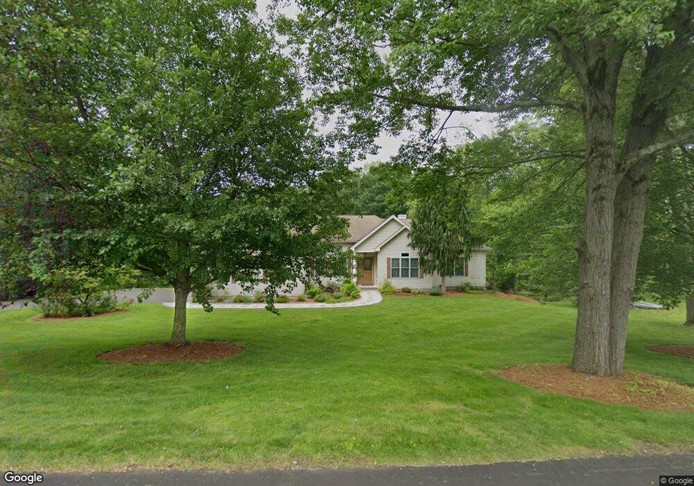
631 Avon Dr Orange, CT 06477
Estimated Value: $732,000 - $885,000
3
Beds
3
Baths
2,576
Sq Ft
$300/Sq Ft
Est. Value
About This Home
This home is located at 631 Avon Dr, Orange, CT 06477 and is currently estimated at $772,526, approximately $299 per square foot. 631 Avon Dr is a home located in New Haven County with nearby schools including Mary L. Tracy School, Race Brook School, and Amity Middle School: Orange.
Ownership History
Date
Name
Owned For
Owner Type
Purchase Details
Closed on
Sep 24, 2003
Sold by
Hart Susan and Hart Nathan
Bought by
Mao Lili and Luo Shi
Current Estimated Value
Home Financials for this Owner
Home Financials are based on the most recent Mortgage that was taken out on this home.
Original Mortgage
$300,000
Outstanding Balance
$139,648
Interest Rate
6.29%
Estimated Equity
$632,878
Create a Home Valuation Report for This Property
The Home Valuation Report is an in-depth analysis detailing your home's value as well as a comparison with similar homes in the area
Home Values in the Area
Average Home Value in this Area
Purchase History
| Date | Buyer | Sale Price | Title Company |
|---|---|---|---|
| Mao Lili | $474,900 | -- | |
| Mao Lili | $474,900 | -- |
Source: Public Records
Mortgage History
| Date | Status | Borrower | Loan Amount |
|---|---|---|---|
| Open | Mao Lili | $300,000 | |
| Closed | Mao Lili | $300,000 | |
| Previous Owner | Mao Lili | $105,000 |
Source: Public Records
Tax History
| Year | Tax Paid | Tax Assessment Tax Assessment Total Assessment is a certain percentage of the fair market value that is determined by local assessors to be the total taxable value of land and additions on the property. | Land | Improvement |
|---|---|---|---|---|
| 2025 | $12,117 | $416,400 | $198,800 | $217,600 |
| 2024 | $12,908 | $416,400 | $198,800 | $217,600 |
| 2023 | $10,207 | $315,900 | $145,100 | $170,800 |
| 2022 | $10,333 | $315,900 | $145,100 | $170,800 |
| 2021 | $10,504 | $315,900 | $145,100 | $170,800 |
| 2020 | $10,343 | $315,900 | $145,100 | $170,800 |
| 2019 | $10,295 | $315,900 | $145,100 | $170,800 |
| 2018 | $10,109 | $315,900 | $145,100 | $170,800 |
| 2017 | $10,307 | $309,700 | $136,400 | $173,300 |
| 2016 | $9,972 | $309,700 | $136,400 | $173,300 |
| 2015 | $9,725 | $309,700 | $136,400 | $173,300 |
| 2014 | $9,446 | $309,700 | $136,400 | $173,300 |
Source: Public Records
Map
Nearby Homes
Your Personal Tour Guide
Ask me questions while you tour the home.