631 Butternut Ln Martin, MI 49070
Estimated Value: $313,000 - $482,000
4
Beds
3
Baths
1,690
Sq Ft
$229/Sq Ft
Est. Value
About This Home
This home is located at 631 Butternut Ln, Martin, MI 49070 and is currently estimated at $386,667, approximately $228 per square foot. 631 Butternut Ln is a home located in Allegan County with nearby schools including Robert D. Brandon Elementary School and Martin High School.
Ownership History
Date
Name
Owned For
Owner Type
Purchase Details
Closed on
Apr 13, 2018
Sold by
Adrianson Clifford and Adrianson Delpha
Bought by
Hoover Sandra Sue and Adrianson David Rell
Current Estimated Value
Purchase Details
Closed on
Nov 20, 2003
Sold by
Sonlight Enterprises Ltd
Bought by
Adrianson Clifford and Adrianson Delpha
Home Financials for this Owner
Home Financials are based on the most recent Mortgage that was taken out on this home.
Original Mortgage
$112,000
Outstanding Balance
$46,906
Interest Rate
4.62%
Mortgage Type
Unknown
Estimated Equity
$339,761
Create a Home Valuation Report for This Property
The Home Valuation Report is an in-depth analysis detailing your home's value as well as a comparison with similar homes in the area
Home Values in the Area
Average Home Value in this Area
Purchase History
| Date | Buyer | Sale Price | Title Company |
|---|---|---|---|
| Hoover Sandra Sue | -- | None Available | |
| Adrianson Clifford | $140,000 | Devon Title Agency |
Source: Public Records
Mortgage History
| Date | Status | Borrower | Loan Amount |
|---|---|---|---|
| Open | Adrianson Clifford | $112,000 |
Source: Public Records
Tax History Compared to Growth
Tax History
| Year | Tax Paid | Tax Assessment Tax Assessment Total Assessment is a certain percentage of the fair market value that is determined by local assessors to be the total taxable value of land and additions on the property. | Land | Improvement |
|---|---|---|---|---|
| 2025 | $2,713 | $152,700 | $26,000 | $126,700 |
| 2024 | $2,469 | $152,900 | $22,000 | $130,900 |
| 2023 | $2,469 | $135,400 | $21,700 | $113,700 |
| 2022 | $2,469 | $112,600 | $23,000 | $89,600 |
| 2021 | $2,288 | $103,700 | $19,400 | $84,300 |
| 2020 | $2,288 | $99,000 | $21,300 | $77,700 |
| 2019 | $0 | $98,800 | $23,300 | $75,500 |
| 2018 | $0 | $80,900 | $12,000 | $68,900 |
| 2017 | $0 | $67,900 | $11,200 | $56,700 |
| 2016 | $0 | $69,000 | $12,200 | $56,800 |
| 2015 | -- | $69,000 | $12,200 | $56,800 |
| 2014 | -- | $66,700 | $12,200 | $54,500 |
| 2013 | -- | $64,900 | $14,000 | $50,900 |
Source: Public Records
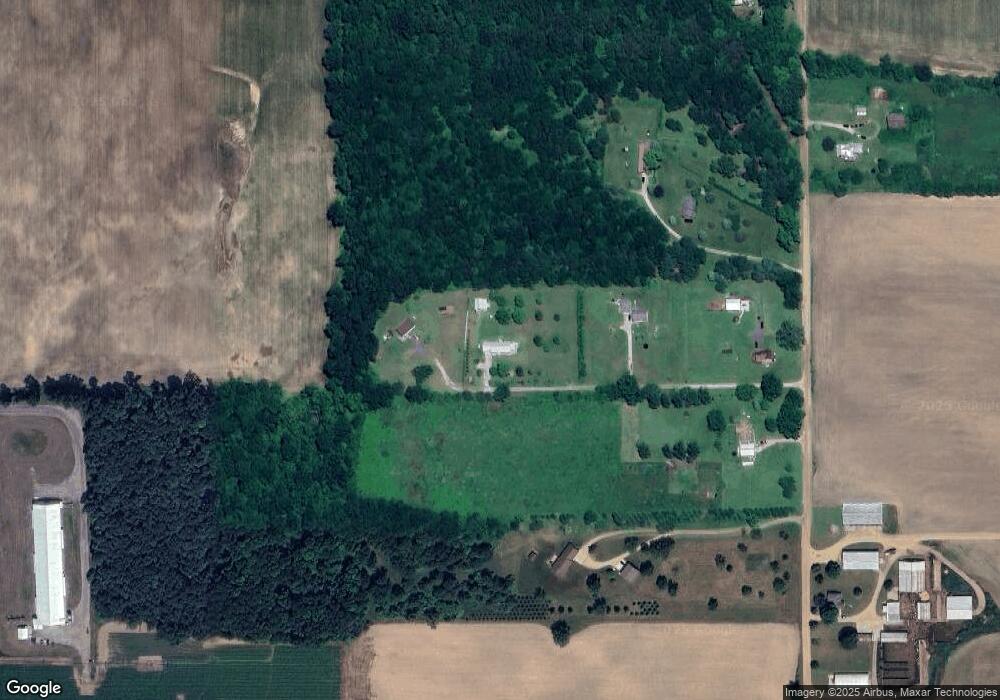
Map
Nearby Homes
- 991 112th Ave
- 1021 112th Ave
- 1140 10th St
- 933 E Allegan St
- 1074 10th St
- 975 Lee St
- 1584 S Main St
- 789 7th St
- 1554 Dover Dr
- 1554 Dover Dr Unit 95
- 1163 Winfield Ln
- 1157 Winfield
- 1160 Ashton St
- 1163 Ashton St Unit 63
- 1559 Deer Point Dr Unit 83
- 1559 Dover Dr Unit 77
- 1217 Marsh Rd
- 1914 6th St
- 1035 12th St
- 694 Pierce Rd