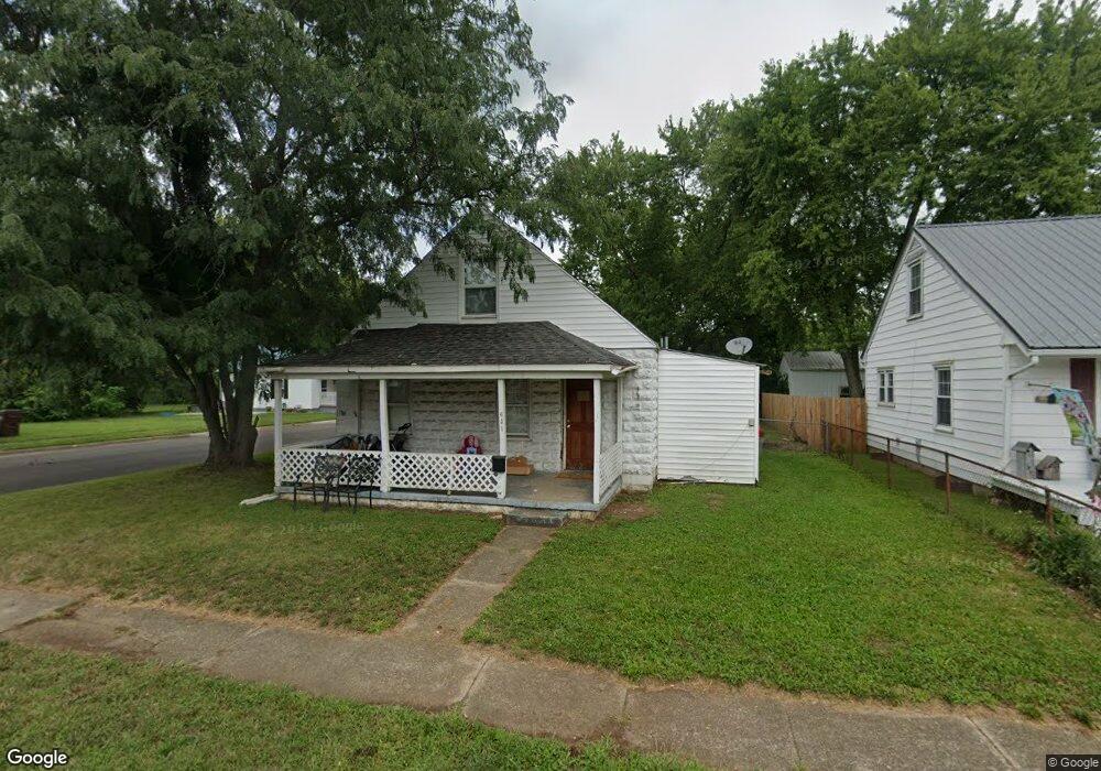
631 Lake Ave Franklin, OH 45005
Estimated Value: $130,000 - $193,000
3
Beds
1
Bath
1,292
Sq Ft
$117/Sq Ft
Est. Value
About This Home
This home is located at 631 Lake Ave, Franklin, OH 45005 and is currently estimated at $151,202, approximately $117 per square foot. 631 Lake Ave is a home located in Warren County with nearby schools including Franklin High School.
Ownership History
Date
Name
Owned For
Owner Type
Purchase Details
Closed on
Jan 28, 2021
Sold by
Gates Wade
Bought by
Everybody Fitness Llc
Current Estimated Value
Purchase Details
Closed on
Nov 28, 2005
Sold by
Abn Amro Mortgage Group Inc
Bought by
Gates Wade
Purchase Details
Closed on
Aug 2, 2005
Sold by
Watts Donald E and Watts Linda A
Bought by
Abn Amro Mortgage Group Inc
Purchase Details
Closed on
Nov 7, 2000
Sold by
Watts Molly
Bought by
Watts Don
Home Financials for this Owner
Home Financials are based on the most recent Mortgage that was taken out on this home.
Original Mortgage
$56,450
Interest Rate
7.96%
Mortgage Type
FHA
Purchase Details
Closed on
Aug 24, 1990
Sold by
Standard Building & Loan
Bought by
Watts Watts and Watts Charles R
Create a Home Valuation Report for This Property
The Home Valuation Report is an in-depth analysis detailing your home's value as well as a comparison with similar homes in the area
Home Values in the Area
Average Home Value in this Area
Purchase History
| Date | Buyer | Sale Price | Title Company |
|---|---|---|---|
| Everybody Fitness Llc | -- | None Available | |
| Gates Wade | $31,000 | Gw Land Title | |
| Abn Amro Mortgage Group Inc | $40,000 | Gw Land Title | |
| Watts Don | $57,000 | -- | |
| Watts Watts | $7,000 | -- |
Source: Public Records
Mortgage History
| Date | Status | Borrower | Loan Amount |
|---|---|---|---|
| Previous Owner | Watts Don | $56,450 |
Source: Public Records
Tax History Compared to Growth
Tax History
| Year | Tax Paid | Tax Assessment Tax Assessment Total Assessment is a certain percentage of the fair market value that is determined by local assessors to be the total taxable value of land and additions on the property. | Land | Improvement |
|---|---|---|---|---|
| 2024 | $1,814 | $32,610 | $7,120 | $25,490 |
| 2023 | $1,483 | $25,357 | $4,711 | $20,646 |
| 2022 | $1,457 | $25,358 | $4,711 | $20,647 |
| 2021 | $1,387 | $25,358 | $4,711 | $20,647 |
| 2020 | $1,270 | $20,290 | $3,770 | $16,520 |
| 2019 | $1,168 | $20,290 | $3,770 | $16,520 |
| 2018 | $1,031 | $20,290 | $3,770 | $16,520 |
| 2017 | $1,240 | $19,807 | $3,742 | $16,065 |
| 2016 | $1,262 | $19,807 | $3,742 | $16,065 |
| 2015 | $1,262 | $19,807 | $3,742 | $16,065 |
| 2014 | $1,291 | $19,810 | $3,740 | $16,070 |
| 2013 | $995 | $22,180 | $4,190 | $17,990 |
Source: Public Records
Map
Nearby Homes
- 105 Chestnut St Unit 1
- 605 Spring Ave
- 1504 Knightsbridge Ct
- 315 Bridge St
- 0 E 4th St
- 627 S River St
- 631 S River St
- 521 S Main St
- 102 Warren Ave
- 0 Victoria Dr Unit 1852824
- 0 Victoria Dr Unit 942075
- 20 Timber Creek Dr
- 213 Locust St
- 380 Clear Springs Ct
- 233 S Main St
- 235 S Main St
- 1215 Waterbury Dr
- 1221 Waterbury Dr
- 1227 Waterbury Dr
- 519 Anderson St