631 Pauls Rd Point Roberts, WA 98281
Estimated Value: $1,175,000 - $1,636,062
4
Beds
4
Baths
4,674
Sq Ft
$305/Sq Ft
Est. Value
About This Home
This home is located at 631 Pauls Rd, Point Roberts, WA 98281 and is currently estimated at $1,423,516, approximately $304 per square foot. 631 Pauls Rd is a home with nearby schools including Point Roberts Primary School, Blaine Middle School, and Blaine High School.
Ownership History
Date
Name
Owned For
Owner Type
Purchase Details
Closed on
Apr 19, 2010
Sold by
Snukal Robert and Snukal Sheila
Bought by
Liu David and Liu Sonya
Current Estimated Value
Create a Home Valuation Report for This Property
The Home Valuation Report is an in-depth analysis detailing your home's value as well as a comparison with similar homes in the area
Home Values in the Area
Average Home Value in this Area
Purchase History
| Date | Buyer | Sale Price | Title Company |
|---|---|---|---|
| Liu David | $375,280 | Chicago Title Insurance |
Source: Public Records
Tax History Compared to Growth
Tax History
| Year | Tax Paid | Tax Assessment Tax Assessment Total Assessment is a certain percentage of the fair market value that is determined by local assessors to be the total taxable value of land and additions on the property. | Land | Improvement |
|---|---|---|---|---|
| 2024 | $10,614 | $1,364,403 | $479,250 | $885,153 |
| 2023 | $10,614 | $1,364,403 | $479,250 | $885,153 |
| 2022 | $7,672 | $1,281,130 | $450,000 | $831,130 |
| 2021 | $8,232 | $813,101 | $266,550 | $546,551 |
| 2020 | $8,512 | $813,101 | $266,550 | $546,551 |
| 2019 | $8,184 | $813,101 | $266,550 | $546,551 |
| 2018 | $8,733 | $762,616 | $250,000 | $512,616 |
| 2017 | $7,716 | $762,616 | $250,000 | $512,616 |
| 2016 | $8,520 | $762,616 | $250,000 | $512,616 |
| 2015 | $8,672 | $818,819 | $300,000 | $518,819 |
| 2014 | -- | $818,819 | $300,000 | $518,819 |
| 2013 | -- | $818,819 | $300,000 | $518,819 |
Source: Public Records
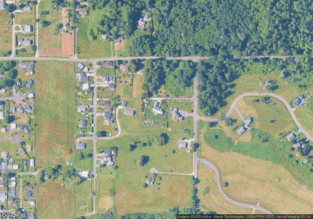
Map
Nearby Homes
- 2045 Apa Rd
- 2149 Seabright Loop
- 2128 Seabright Loop
- 2202 Seabright Loop
- 58 Seabright Loop
- 2250 Seabright Loop
- 675 Sylvia Dr
- 2246 Seabright Loop
- 2242 Seabright Loop
- 1934 Waters Rd
- 1940 Apa Rd
- 661 Driftwood Ln
- 698 Kendor Dr
- 1911 Apa Rd
- 634 S Beach Rd
- 1976 Cedar Park Dr
- 500 Moose Trail
- 0 Lot 7 Weasel Run Rd
- 6 Weasel Run Rd
- lot 14 Cedar Park Dr Unit 14
- 643 Pauls Rd
- 2050 Cliffside Dr
- 2067 Apa Rd
- 0 L26 Highland Dr
- 636 Highland Dr
- 632 Highland Dr
- 628 Highland Dr
- 2044 Cliffside Dr
- 655 Pauls Rd
- 620 Highland Dr
- 2055 Apa Rd
- 600 Pauls Rd
- 614 Highland Dr
- 660 Highland Dr
- 670 Highland Dr
- 633 Highland Dr
- 643 Highland Dr
- 619 Highland Dr
- 2116 Seabright Loop
- 2105 Seabright Loop