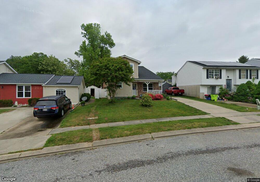
631 Pier Dr Edgewood, MD 21040
Estimated Value: $325,363 - $379,000
--
Bed
2
Baths
1,776
Sq Ft
$199/Sq Ft
Est. Value
About This Home
This home is located at 631 Pier Dr, Edgewood, MD 21040 and is currently estimated at $352,841, approximately $198 per square foot. 631 Pier Dr is a home located in Harford County with nearby schools including Deerfield Elementary School, Edgewood Middle School, and Edgewood High School.
Ownership History
Date
Name
Owned For
Owner Type
Purchase Details
Closed on
Aug 1, 2005
Sold by
Waskiewicz Derek
Bought by
Tokarska Bozena and Tokarski Wieslaw
Current Estimated Value
Home Financials for this Owner
Home Financials are based on the most recent Mortgage that was taken out on this home.
Original Mortgage
$164,800
Outstanding Balance
$86,405
Interest Rate
5.63%
Mortgage Type
New Conventional
Estimated Equity
$266,436
Purchase Details
Closed on
Aug 27, 1999
Sold by
Frank Harold Gregg
Bought by
Waskiewicz Derek and Waskiewicz Mary K
Purchase Details
Closed on
Jul 21, 1987
Sold by
Colton Raymond Alfred
Bought by
Frank Harold Gregg
Home Financials for this Owner
Home Financials are based on the most recent Mortgage that was taken out on this home.
Original Mortgage
$76,650
Interest Rate
10.23%
Create a Home Valuation Report for This Property
The Home Valuation Report is an in-depth analysis detailing your home's value as well as a comparison with similar homes in the area
Home Values in the Area
Average Home Value in this Area
Purchase History
| Date | Buyer | Sale Price | Title Company |
|---|---|---|---|
| Tokarska Bozena | $206,000 | -- | |
| Waskiewicz Derek | $113,900 | -- | |
| Frank Harold Gregg | $75,000 | -- |
Source: Public Records
Mortgage History
| Date | Status | Borrower | Loan Amount |
|---|---|---|---|
| Open | Tokarska Bozena | $164,800 | |
| Closed | Tokarska Bozena | $41,200 | |
| Previous Owner | Frank Harold Gregg | $76,650 | |
| Closed | Waskiewicz Derek | -- |
Source: Public Records
Tax History Compared to Growth
Tax History
| Year | Tax Paid | Tax Assessment Tax Assessment Total Assessment is a certain percentage of the fair market value that is determined by local assessors to be the total taxable value of land and additions on the property. | Land | Improvement |
|---|---|---|---|---|
| 2025 | $2,448 | $246,567 | $0 | $0 |
| 2024 | $2,325 | $229,933 | $0 | $0 |
| 2023 | $2,325 | $213,300 | $60,500 | $152,800 |
| 2022 | $2,235 | $205,100 | $0 | $0 |
| 2021 | $2,178 | $196,900 | $0 | $0 |
| 2020 | $2,178 | $188,700 | $60,500 | $128,200 |
| 2019 | $2,159 | $187,067 | $0 | $0 |
| 2018 | $2,121 | $185,433 | $0 | $0 |
| 2017 | $2,102 | $183,800 | $0 | $0 |
| 2016 | -- | $183,800 | $0 | $0 |
| 2015 | $2,556 | $183,800 | $0 | $0 |
| 2014 | $2,556 | $193,000 | $0 | $0 |
Source: Public Records
Map
Nearby Homes
- 2909 Willoughby Beach Rd
- 2935 Ancon Ct
- 2826 Profitt Path
- 2804 Captains Cove Ct
- 3413 Albantowne Way
- 408 Bauers Dr
- 400 Bauers Dr
- 126 Laburnum Rd
- 1024 Westshore Dr
- 730 Sequoia Dr
- 3435 Albantowne Way
- 3430 Albantowne Way
- 2813 Majesty Ln
- 2809 Beckon Dr
- 2805 Beckon Dr
- 119 Redbud Rd
- 2828 Beckon Dr
- 1071 Sand Pebble Dr
- 2727 Beckon Dr
- 508 Scholar Ct