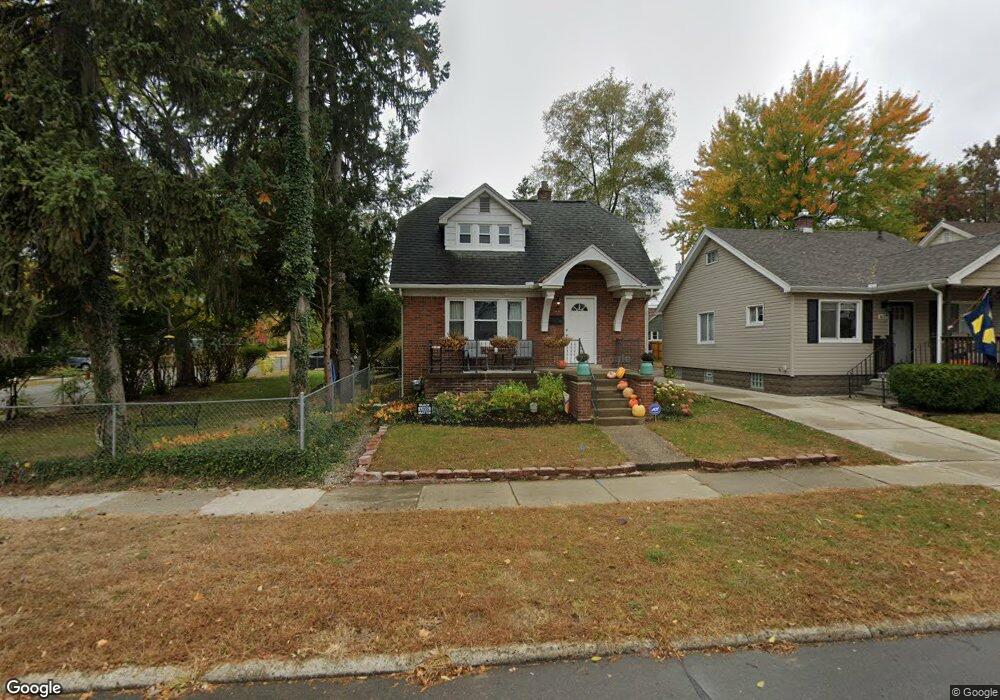
631 Shasta Place Ferndale, MI 48220
Estimated Value: $283,000 - $348,000
3
Beds
2
Baths
1,286
Sq Ft
$237/Sq Ft
Est. Value
About This Home
This home is located at 631 Shasta Place, Ferndale, MI 48220 and is currently estimated at $304,672, approximately $236 per square foot. 631 Shasta Place is a home located in Oakland County with nearby schools including Ferndale Lower Elementary Campus, Ferndale Upper Elementary Campus, and Ferndale Middle School.
Ownership History
Date
Name
Owned For
Owner Type
Purchase Details
Closed on
Jan 29, 2019
Sold by
Dundon Michael
Bought by
Dundon Michael and Dundon Adriane
Current Estimated Value
Purchase Details
Closed on
May 1, 2008
Sold by
Estate Of George E Heilig and Yun John
Bought by
Dundon Michael
Home Financials for this Owner
Home Financials are based on the most recent Mortgage that was taken out on this home.
Original Mortgage
$72,065
Outstanding Balance
$45,758
Interest Rate
5.93%
Mortgage Type
FHA
Estimated Equity
$258,914
Purchase Details
Closed on
Jun 27, 2002
Sold by
Heilig Rosa E
Bought by
Heilig George W
Create a Home Valuation Report for This Property
The Home Valuation Report is an in-depth analysis detailing your home's value as well as a comparison with similar homes in the area
Home Values in the Area
Average Home Value in this Area
Purchase History
| Date | Buyer | Sale Price | Title Company |
|---|---|---|---|
| Dundon Michael | -- | None Available | |
| Dundon Michael | $34,000 | Philip R Seaver Title Co Inc | |
| Heilig George W | -- | -- |
Source: Public Records
Mortgage History
| Date | Status | Borrower | Loan Amount |
|---|---|---|---|
| Open | Dundon Michael | $72,065 |
Source: Public Records
Tax History Compared to Growth
Tax History
| Year | Tax Paid | Tax Assessment Tax Assessment Total Assessment is a certain percentage of the fair market value that is determined by local assessors to be the total taxable value of land and additions on the property. | Land | Improvement |
|---|---|---|---|---|
| 2024 | $3,875 | $140,040 | $0 | $0 |
| 2023 | $3,744 | $130,040 | $0 | $0 |
| 2022 | $3,710 | $123,080 | $0 | $0 |
| 2021 | $2,814 | $116,960 | $0 | $0 |
| 2020 | $2,668 | $118,950 | $0 | $0 |
| 2019 | $2,710 | $100,640 | $0 | $0 |
| 2018 | $2,720 | $88,410 | $0 | $0 |
| 2017 | $2,396 | $67,920 | $0 | $0 |
| 2016 | $2,365 | $57,790 | $0 | $0 |
| 2015 | -- | $50,380 | $0 | $0 |
| 2014 | -- | $43,310 | $0 | $0 |
| 2011 | -- | $45,220 | $0 | $0 |
Source: Public Records
Map
Nearby Homes
- 768 Pinecrest Dr
- 832 Pinecrest Dr
- 695 Livernois St
- 21078 Mitchelldale Ave
- 21392 Bethlawn Blvd
- 591 Parkside Way Unit 16
- 860 Gardendale St
- 20805 Bethlawn Blvd
- 21341 Reimanville Ave
- 21036 Westview Ave
- 20401 Santa Rosa Dr
- 535 W Marshall St
- 1538 Leroy St
- 21395 Westview Ave
- 20235 Prairie St
- 20235 San Juan Dr
- 21433 Westview Ave
- 20885 Westview Ave
- 1526 Albany St
- 20501 Northlawn St
- 637 Shasta Place
- 647 Shasta Place
- 624 Pinecrest Dr
- 653 Shasta Place
- 634 Pinecrest Dr
- 644 Pinecrest Dr
- 1425 Fox St
- 1419 Fox St
- 1419 Fox St Unit Upper
- 1401 Fox St
- 648 Pinecrest Dr
- 659 Shasta Place
- 1409 Fox St
- 646 Shasta Place
- 600 Pinecrest Dr
- 1365 Fox St
- 654 Pinecrest Dr
- 665 Shasta Place
- 650 Shasta Plc
- 630 Shasta Place