Estimated Value: $532,000 - $577,000
4
Beds
3
Baths
1,132,842
Sq Ft
$0/Sq Ft
Est. Value
About This Home
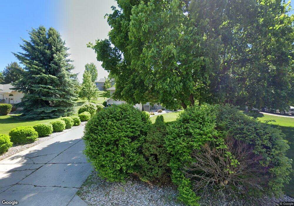
This home is located at 6310 Delarka Dr, Lolo, MT 59847 and is currently estimated at $558,566, approximately $0 per square foot. 6310 Delarka Dr is a home located in Missoula County with nearby schools including Lolo Elementary School, Lolo Middle School, and Sentinel High School.
Ownership History
Date
Name
Owned For
Owner Type
Purchase Details
Closed on
Jun 27, 2003
Sold by
Weaver Robert N
Bought by
Caye Peter C and Caye Sandra L
Current Estimated Value
Home Financials for this Owner
Home Financials are based on the most recent Mortgage that was taken out on this home.
Original Mortgage
$151,075
Outstanding Balance
$63,842
Interest Rate
5.18%
Mortgage Type
Purchase Money Mortgage
Estimated Equity
$494,724
Purchase Details
Closed on
Sep 13, 2001
Sold by
Howard Jay M and Howard Edwina G
Bought by
Weaver Robert N and Weaver Jill S
Home Financials for this Owner
Home Financials are based on the most recent Mortgage that was taken out on this home.
Original Mortgage
$153,425
Interest Rate
6.99%
Create a Home Valuation Report for This Property
The Home Valuation Report is an in-depth analysis detailing your home's value as well as a comparison with similar homes in the area
Purchase History
| Date | Buyer | Sale Price | Title Company |
|---|---|---|---|
| Caye Peter C | -- | -- | |
| Weaver Robert N | -- | -- |
Source: Public Records
Mortgage History
| Date | Status | Borrower | Loan Amount |
|---|---|---|---|
| Open | Caye Peter C | $151,075 | |
| Previous Owner | Weaver Robert N | $153,425 |
Source: Public Records
Tax History
| Year | Tax Paid | Tax Assessment Tax Assessment Total Assessment is a certain percentage of the fair market value that is determined by local assessors to be the total taxable value of land and additions on the property. | Land | Improvement |
|---|---|---|---|---|
| 2025 | $4,139 | $546,100 | $147,500 | $398,600 |
| 2024 | $4,797 | $414,600 | $114,000 | $300,600 |
| 2023 | $4,074 | $414,600 | $114,000 | $300,600 |
| 2022 | $3,788 | $322,100 | $0 | $0 |
| 2021 | $3,400 | $322,100 | $0 | $0 |
| 2020 | $3,128 | $291,100 | $0 | $0 |
| 2019 | $3,107 | $291,100 | $0 | $0 |
| 2018 | $2,784 | $267,400 | $0 | $0 |
| 2017 | $2,806 | $267,400 | $0 | $0 |
| 2016 | $2,523 | $243,000 | $0 | $0 |
| 2015 | $2,417 | $243,000 | $0 | $0 |
| 2014 | $2,426 | $135,786 | $0 | $0 |
Source: Public Records
Map
Nearby Homes
- 12458 Nature Ct
- 12819 Anchor Rd
- 10011 Bitterroot Gateway Unit 3
- NHN Maclay Rd
- 261 Capdevilla
- 333 Cap de Villa
- 117 Tyler Way
- 5702 Lonesome Dove Ln
- 11305 Napton Way
- 197 Ridgeway Dr
- 15100 Rock Ridge Rd
- NHN Hughes Ct
- 9280 Mormon Creek Rd
- 11385 Trillium Ln
- 6202 Brewery Way
- 8350 Vann Dr
- 6896 Jack Pine Ct
- 16350 Queen Annes Ln
- 5800 Rowan Rd
- 16485 Folsom Rd
- 6300 Delarka Dr
- 6320 Delarka Dr
- 6374 Hazelwood Ct
- 6290 Delarka Dr
- 6330 Delarka Dr
- 6325 Delarka Dr
- 6305 Delarka Dr
- 6315 Delarka Dr
- 6280 Delarka Dr
- 6340 Delarka Dr
- 6335 Delarka Dr
- 6275 Delarka Dr
- 6359 Hazelwood Ct
- 6345 Delarka Dr
- 6350 Delarka Dr
- 6262 Hazelwood Ct
- 6270 Delarka Dr
- 6360 Delarka Dr
- 6401 Hazelwood Ct
- 6412 Hazelwood Ct
Your Personal Tour Guide
Ask me questions while you tour the home.