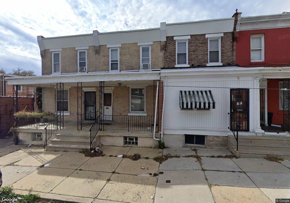
6310 N Woodstock St Philadelphia, PA 19138
East Germantown NeighborhoodEstimated Value: $137,000 - $195,000
3
Beds
1
Bath
1,158
Sq Ft
$143/Sq Ft
Est. Value
About This Home
This home is located at 6310 N Woodstock St, Philadelphia, PA 19138 and is currently estimated at $165,931, approximately $143 per square foot. 6310 N Woodstock St is a home located in Philadelphia County with nearby schools including Prince Hall School, Gen. Louis Wagner Middle School, and Martin Luther King High School.
Ownership History
Date
Name
Owned For
Owner Type
Purchase Details
Closed on
Dec 10, 2009
Sold by
Borum Quentin
Bought by
West Oak Lane Community Development Corp
Current Estimated Value
Purchase Details
Closed on
Jan 22, 1996
Sold by
West Oak Lane Community Development Corp
Bought by
Borum Quentin
Purchase Details
Closed on
Feb 2, 1995
Sold by
Redevelopment Authority City Philadelphi
Bought by
West Oak Lane Community Development Corp
Purchase Details
Closed on
Jun 1, 1994
Sold by
The City Of Philadelphia
Bought by
The City Of Philadelphia
Create a Home Valuation Report for This Property
The Home Valuation Report is an in-depth analysis detailing your home's value as well as a comparison with similar homes in the area
Home Values in the Area
Average Home Value in this Area
Purchase History
| Date | Buyer | Sale Price | Title Company |
|---|---|---|---|
| West Oak Lane Community Development Corp | $27,379 | None Available | |
| Borum Quentin | $39,000 | -- | |
| West Oak Lane Community Development Corp | -- | -- | |
| Redevelopment Authority City Philadelphi | -- | -- | |
| The City Of Philadelphia | -- | -- |
Source: Public Records
Tax History Compared to Growth
Tax History
| Year | Tax Paid | Tax Assessment Tax Assessment Total Assessment is a certain percentage of the fair market value that is determined by local assessors to be the total taxable value of land and additions on the property. | Land | Improvement |
|---|---|---|---|---|
| 2026 | $1,655 | $156,400 | $31,280 | $125,120 |
| 2025 | $1,655 | $156,400 | $31,280 | $125,120 |
| 2024 | $1,655 | $156,400 | $31,280 | $125,120 |
| 2023 | $1,655 | $118,200 | $23,640 | $94,560 |
| 2022 | $557 | $73,200 | $23,640 | $49,560 |
| 2021 | $1,187 | $0 | $0 | $0 |
| 2020 | $1,187 | $0 | $0 | $0 |
| 2019 | $1,240 | $0 | $0 | $0 |
| 2018 | $767 | $0 | $0 | $0 |
| 2017 | $1,187 | $0 | $0 | $0 |
| 2016 | $767 | $0 | $0 | $0 |
| 2015 | $831 | $0 | $0 | $0 |
| 2014 | -- | $92,000 | $7,623 | $84,377 |
| 2012 | -- | $8,448 | $1,397 | $7,051 |
Source: Public Records
Map
Nearby Homes
- 6329 N Woodstock St
- 2012 E Chelten Ave
- 6321 N 21st St
- 1955 Medary Ave
- 6420 N Woodstock St
- 6419 Limekiln Pike
- 6240 N 21st St
- 6308 N Norwood St
- 1914 W 65th Ave
- 6329 N Beechwood St
- 5833 N Woodstock St
- 6709 N Woodstock St
- 6436 N 20th St
- 6142 N Woodstock St
- 6302 Ogontz Ave
- 6152 N Lambert St
- 1938 W Godfrey Ave
- 1916 Colonial St
- 6534 N Lambert St
- 6323 Ogontz Ave
- 6308 N Woodstock St
- 6312 N Woodstock St
- 6314 N Woodstock St
- 6316 N Woodstock St
- 6318 N Woodstock St
- 2029 Medary Ave
- 2025 Medary Ave
- 6320 N Woodstock St
- 2033 Medary Ave
- 6311 N Lambert St
- 6309 N Lambert St
- 6315 N Lambert St
- 2031 Medary Ave
- 2027 Medary Ave
- 6322 N Woodstock St
- 6317 N Lambert St
- 6313 N Lambert St
- 2037 Medary Ave
- 2035 Medary Ave
- 6319 N Lambert St