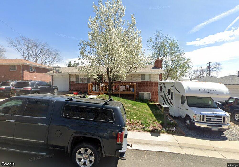
6310 Zephyr St Arvada, CO 80004
Scenic Heights NeighborhoodEstimated Value: $550,060 - $624,000
3
Beds
5
Baths
1,053
Sq Ft
$555/Sq Ft
Est. Value
About This Home
This home is located at 6310 Zephyr St, Arvada, CO 80004 and is currently estimated at $584,765, approximately $555 per square foot. 6310 Zephyr St is a home located in Jefferson County with nearby schools including Secrest Elementary School, Peck Elementary School, and Arvada K-8.
Ownership History
Date
Name
Owned For
Owner Type
Purchase Details
Closed on
Dec 3, 2002
Sold by
Bennett Crystal I and Hott Crystal I
Bought by
Schock Tony R and Schock Peggy A
Current Estimated Value
Home Financials for this Owner
Home Financials are based on the most recent Mortgage that was taken out on this home.
Original Mortgage
$209,100
Outstanding Balance
$87,554
Interest Rate
5.89%
Mortgage Type
VA
Estimated Equity
$497,211
Create a Home Valuation Report for This Property
The Home Valuation Report is an in-depth analysis detailing your home's value as well as a comparison with similar homes in the area
Home Values in the Area
Average Home Value in this Area
Purchase History
| Date | Buyer | Sale Price | Title Company |
|---|---|---|---|
| Schock Tony R | $205,000 | Chicago Title Co |
Source: Public Records
Mortgage History
| Date | Status | Borrower | Loan Amount |
|---|---|---|---|
| Open | Schock Tony R | $209,100 |
Source: Public Records
Tax History Compared to Growth
Tax History
| Year | Tax Paid | Tax Assessment Tax Assessment Total Assessment is a certain percentage of the fair market value that is determined by local assessors to be the total taxable value of land and additions on the property. | Land | Improvement |
|---|---|---|---|---|
| 2024 | $3,142 | $32,436 | $16,102 | $16,334 |
| 2023 | $3,146 | $32,436 | $16,102 | $16,334 |
| 2022 | $2,721 | $27,783 | $12,875 | $14,908 |
| 2021 | $2,766 | $28,583 | $13,246 | $15,337 |
| 2020 | $2,362 | $24,477 | $10,184 | $14,293 |
| 2019 | $2,330 | $24,477 | $10,184 | $14,293 |
| 2018 | $2,226 | $22,730 | $7,745 | $14,985 |
| 2017 | $2,037 | $22,730 | $7,745 | $14,985 |
| 2016 | $1,740 | $18,291 | $5,117 | $13,174 |
| 2015 | $1,514 | $18,291 | $5,117 | $13,174 |
| 2014 | $1,514 | $14,955 | $4,384 | $10,571 |
Source: Public Records
Map
Nearby Homes
- 6438 Yarrow St
- 8233 W 62nd Place
- 6409 Brentwood St
- 6176 Ammons St
- 6355 Carr St
- 6325 Teller St
- 8537 W 62nd Place
- 6303 Upham St
- 6011 Yarrow St Unit G
- 6011 Yarrow St Unit I
- 6204 Vance St
- 6007 Yarrow St Unit D
- 8548 W 62nd Place
- 6150 Carr St
- 7365 W 61st Ave
- 6277 Reed Ct
- 6685 Upham St
- 8090 W 68th Ave
- 6200 Estes St
- 6055 Cody St