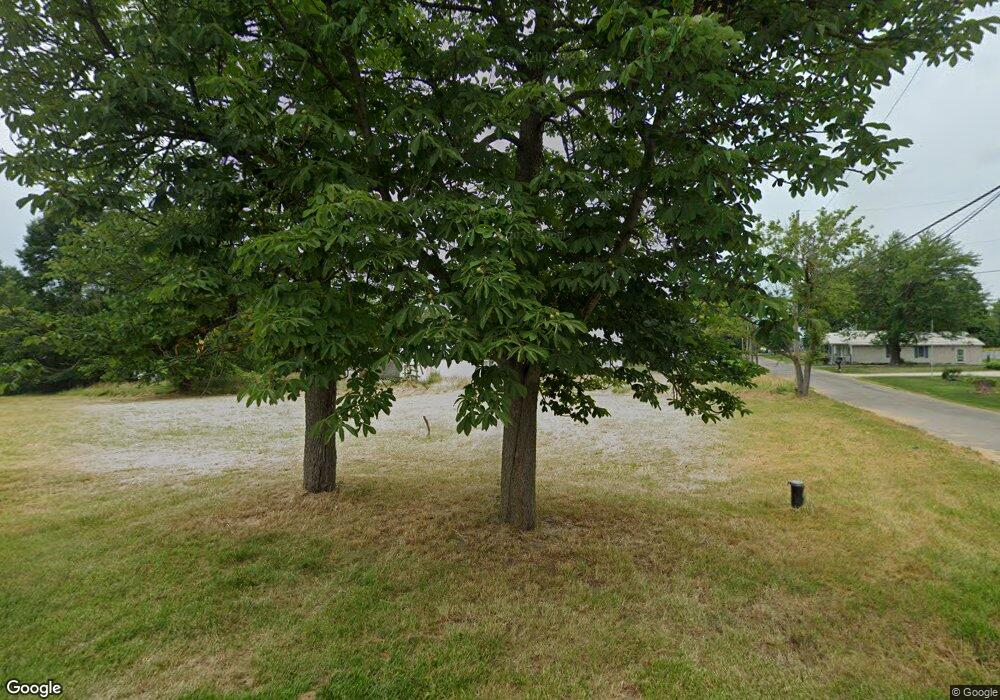
6311 Elm St Atwater, OH 44201
--
Bed
1
Bath
--
Sq Ft
6,534
Sq Ft Lot
About This Home
This home is located at 6311 Elm St, Atwater, OH 44201. 6311 Elm St is a home located in Portage County with nearby schools including Waterloo Elementary School, Waterloo Middle School, and Waterloo High School.
Ownership History
Date
Name
Owned For
Owner Type
Purchase Details
Closed on
Jun 4, 2020
Sold by
Portage County Land Reutilization Corp
Bought by
Portage County Land Reutilization C
Purchase Details
Closed on
Nov 28, 2018
Sold by
Cromes Doak Richard L and Cromes Brad
Bought by
Portage County Land Reutilization Corp
Purchase Details
Closed on
Apr 8, 2003
Sold by
Chase Manhattan Bank
Bought by
Doak Richard L
Purchase Details
Closed on
Sep 20, 2002
Sold by
Campbell Larry M
Bought by
The Chase Manhattan Bank
Purchase Details
Closed on
Aug 13, 2002
Sold by
Campbell Larry M and Case #2001Cv01229
Bought by
The Chase Manhattan Bank
Purchase Details
Closed on
Feb 25, 1994
Bought by
Campbell Larry M and Campbell Sharon
Create a Home Valuation Report for This Property
The Home Valuation Report is an in-depth analysis detailing your home's value as well as a comparison with similar homes in the area
Home Values in the Area
Average Home Value in this Area
Purchase History
| Date | Buyer | Sale Price | Title Company |
|---|---|---|---|
| Portage County Land Reutilization C | -- | -- | |
| Portage County Land Reutilization Corp | -- | None Available | |
| Doak Richard L | $20,000 | Accutitle Agency Inc | |
| The Chase Manhattan Bank | $40,000 | Accutitle Agency Inc | |
| The Chase Manhattan Bank | $40,000 | -- | |
| Campbell Larry M | $22,000 | -- |
Source: Public Records
Tax History Compared to Growth
Tax History
| Year | Tax Paid | Tax Assessment Tax Assessment Total Assessment is a certain percentage of the fair market value that is determined by local assessors to be the total taxable value of land and additions on the property. | Land | Improvement |
|---|---|---|---|---|
| 2020 | $18 | $2,280 | $2,280 | $0 |
| 2019 | -- | $2,280 | $2,280 | $0 |
| 2018 | -- | $3,400 | $3,400 | $0 |
| 2017 | -- | $3,400 | $3,400 | $0 |
| 2016 | -- | $3,400 | $3,400 | $0 |
| 2015 | -- | $3,400 | $3,400 | $0 |
| 2014 | -- | $3,400 | $3,400 | $0 |
| 2013 | -- | $3,400 | $3,400 | $0 |
Source: Public Records
Map
Nearby Homes
- 1454 Hillcrest Dr
- 6727 Waterloo Rd
- 1015 Stroup Rd
- 5457 Waterloo Rd
- 0 Industry Rd
- 1440 Porter Rd
- 5296 Eberly Rd
- 5615 Laubert Rd
- 2265 Industry Rd
- 7374 Virginia Rd
- German Church Street North E Unit LotWP001
- 2547 Industry Rd
- 1628 New Milford Rd
- 1683 New Milford Rd
- 2113 New Milford Rd
- 2322 New Milford Rd
- 4958 Bassett Rd
- 4829 Laubert Rd
- 2171 Alliance Rd
- 0 New Milford Rd Unit 5119787
