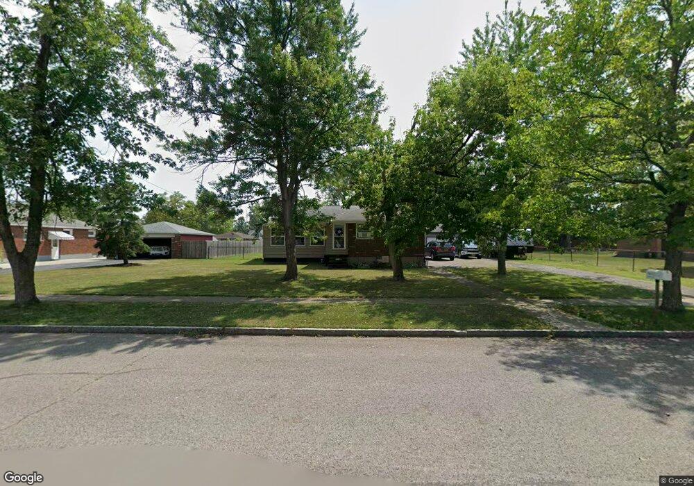
6311 Lawson Dr Niagara Falls, NY 14304
Estimated Value: $221,000 - $258,383
3
Beds
1
Bath
1,456
Sq Ft
$169/Sq Ft
Est. Value
About This Home
This home is located at 6311 Lawson Dr, Niagara Falls, NY 14304 and is currently estimated at $245,846, approximately $168 per square foot. 6311 Lawson Dr is a home located in Niagara County with nearby schools including Edward Town Middle School, Niagara-Wheatfield Senior High School, and Catholic Academy Of Niagara Falls - Elementary.
Ownership History
Date
Name
Owned For
Owner Type
Purchase Details
Closed on
Nov 21, 2007
Sold by
Sipe Pauline
Bought by
Sayers Kelly
Current Estimated Value
Home Financials for this Owner
Home Financials are based on the most recent Mortgage that was taken out on this home.
Original Mortgage
$75,795
Outstanding Balance
$48,203
Interest Rate
6.48%
Mortgage Type
New Conventional
Estimated Equity
$197,643
Purchase Details
Closed on
Apr 25, 2000
Create a Home Valuation Report for This Property
The Home Valuation Report is an in-depth analysis detailing your home's value as well as a comparison with similar homes in the area
Home Values in the Area
Average Home Value in this Area
Purchase History
| Date | Buyer | Sale Price | Title Company |
|---|---|---|---|
| Sayers Kelly | $74,200 | David Mansour | |
| -- | -- | -- |
Source: Public Records
Mortgage History
| Date | Status | Borrower | Loan Amount |
|---|---|---|---|
| Open | Sayers Kelly | $75,795 |
Source: Public Records
Tax History Compared to Growth
Tax History
| Year | Tax Paid | Tax Assessment Tax Assessment Total Assessment is a certain percentage of the fair market value that is determined by local assessors to be the total taxable value of land and additions on the property. | Land | Improvement |
|---|---|---|---|---|
| 2024 | $5,355 | $73,000 | $8,200 | $64,800 |
| 2023 | $4,991 | $73,000 | $8,200 | $64,800 |
| 2022 | $4,953 | $73,000 | $8,200 | $64,800 |
| 2021 | $4,975 | $73,000 | $8,200 | $64,800 |
| 2020 | $3,624 | $73,000 | $8,200 | $64,800 |
| 2019 | $3,929 | $73,000 | $8,200 | $64,800 |
| 2018 | $3,932 | $73,000 | $8,200 | $64,800 |
| 2017 | $3,929 | $73,000 | $8,200 | $64,800 |
| 2016 | $3,924 | $73,000 | $8,200 | $64,800 |
| 2015 | -- | $73,000 | $8,200 | $64,800 |
| 2014 | -- | $73,000 | $8,200 | $64,800 |
Source: Public Records
Map
Nearby Homes
- 0 Laur Rd
- 5406 Mayle Ct
- 3210 Woodland Ave
- 7211 Packard Rd
- 7375 Sunnydale Dr
- 7400 Saint Joseph Rd
- 3190 Apple Ct
- 7612 Saint Joseph Rd
- 7620 Saint Joseph Rd
- 0 Miller Rd Unit B1278008
- 6010 Grauer Rd
- 7901 Packard Rd
- 8090 Packard Rd
- 6950 Colonial Dr
- 4524 Chester Ave
- 6015 Divide Rd
- 8106 E Britton Dr
- 8100 Porter Rd
- v/l Porter Rd
- 1000 Saunders Settlement Rd
- 6305 Lawson Dr
- 6317 Lawson Dr
- 6312 S Whitham Dr
- 6318 S Whitham Dr
- 6306 S Whitham Dr
- 6299 Lawson Dr
- 6323 Lawson Dr
- 6324 S Whitham Dr
- 6300 S Whitham Dr
- 6293 Lawson Dr
- 3131 Bellreng Dr
- 6294 S Whitham Dr
- 6330 S Whitham Dr
- 6309 S Whitham Dr
- 6305 S Whitham Dr
- 6313 S Whitham Dr
- 6317 S Whitham Dr
- 6301 S Whitham Dr
- 6321 S Whitham Dr
- 6295 S Whitham Dr