Estimated Value: $137,000 - $383,000
--
Bed
--
Bath
1,758
Sq Ft
$131/Sq Ft
Est. Value
About This Home
This home is located at 6312 170th St, Albia, IA 52531 and is currently estimated at $231,004, approximately $131 per square foot. 6312 170th St is a home located in Monroe County with nearby schools including Kendall Elementary School, Lincoln Center, and Grant Center.
Ownership History
Date
Name
Owned For
Owner Type
Purchase Details
Closed on
Jun 24, 2006
Sold by
Wynn William E and Wynn Mary Agnes
Bought by
Mcaninch Shawn R and Mock Lori
Current Estimated Value
Home Financials for this Owner
Home Financials are based on the most recent Mortgage that was taken out on this home.
Original Mortgage
$207,629
Outstanding Balance
$123,091
Interest Rate
6.72%
Mortgage Type
Purchase Money Mortgage
Estimated Equity
$107,913
Create a Home Valuation Report for This Property
The Home Valuation Report is an in-depth analysis detailing your home's value as well as a comparison with similar homes in the area
Home Values in the Area
Average Home Value in this Area
Purchase History
| Date | Buyer | Sale Price | Title Company |
|---|---|---|---|
| Mcaninch Shawn R | $208,000 | None Available |
Source: Public Records
Mortgage History
| Date | Status | Borrower | Loan Amount |
|---|---|---|---|
| Open | Mcaninch Shawn R | $207,629 |
Source: Public Records
Tax History Compared to Growth
Tax History
| Year | Tax Paid | Tax Assessment Tax Assessment Total Assessment is a certain percentage of the fair market value that is determined by local assessors to be the total taxable value of land and additions on the property. | Land | Improvement |
|---|---|---|---|---|
| 2024 | $1,552 | $119,110 | $4,830 | $114,280 |
| 2023 | $1,452 | $119,110 | $4,830 | $114,280 |
| 2022 | $1,374 | $91,990 | $3,800 | $88,190 |
| 2021 | $1,186 | $91,990 | $3,800 | $88,190 |
| 2020 | $1,196 | $77,780 | $3,980 | $73,800 |
| 2019 | $1,200 | $77,780 | $3,980 | $73,800 |
| 2018 | $1,200 | $75,210 | $5,240 | $69,970 |
| 2017 | $1,180 | $75,210 | $5,240 | $69,970 |
| 2016 | $1,142 | $71,656 | $0 | $0 |
| 2015 | $1,172 | $73,207 | $0 | $0 |
| 2014 | $1,172 | $73,207 | $0 | $0 |
Source: Public Records
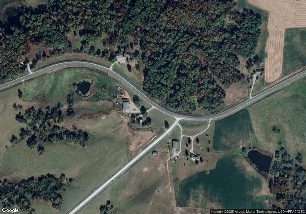
Map
Nearby Homes
- 189th Street
- 725 N E St
- 633 N E St
- 0 189th St Unit NOC6332320
- 0 189th St Unit NOC6330612
- 3 G Ave W
- 400 N Clinton St
- 216 Washington Ave W
- 316 N Main St
- 6424 U S 34
- Lot 12 Benton Ave
- 6430 Highway 34
- 22 Washington Ave W
- 17 Benton Ave E
- 21 Benton Ave E
- 23 Benton Ave E
- 617 B Ave E
- 45 11th Ave W
- 612 A Ave E
- 904 D Ave E