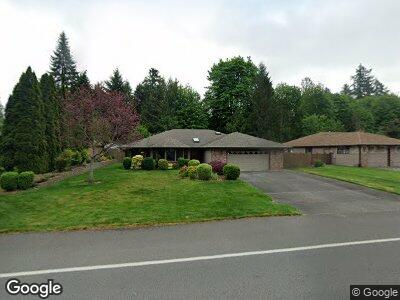
6314 Miner Dr SW Tumwater, WA 98512
Littlerock NeighborhoodEstimated Value: $652,000 - $768,000
3
Beds
2
Baths
2,801
Sq Ft
$249/Sq Ft
Est. Value
About This Home
This home is located at 6314 Miner Dr SW, Tumwater, WA 98512 and is currently estimated at $696,580, approximately $248 per square foot. 6314 Miner Dr SW is a home located in Thurston County with nearby schools including Michael T. Simmons Elementary School, Tumwater Middle School, and A.G. West Black Hills High School.
Ownership History
Date
Name
Owned For
Owner Type
Purchase Details
Closed on
Nov 15, 2002
Sold by
Johnson Johnny
Bought by
Wilson William H and Wilson Rita J
Current Estimated Value
Home Financials for this Owner
Home Financials are based on the most recent Mortgage that was taken out on this home.
Original Mortgage
$189,689
Interest Rate
5.95%
Create a Home Valuation Report for This Property
The Home Valuation Report is an in-depth analysis detailing your home's value as well as a comparison with similar homes in the area
Home Values in the Area
Average Home Value in this Area
Purchase History
| Date | Buyer | Sale Price | Title Company |
|---|---|---|---|
| Wilson William H | $211,000 | Transnation Title Insurance |
Source: Public Records
Mortgage History
| Date | Status | Borrower | Loan Amount |
|---|---|---|---|
| Open | Wilson William H | $169,062 | |
| Closed | Wilson William H | $189,689 |
Source: Public Records
Tax History Compared to Growth
Tax History
| Year | Tax Paid | Tax Assessment Tax Assessment Total Assessment is a certain percentage of the fair market value that is determined by local assessors to be the total taxable value of land and additions on the property. | Land | Improvement |
|---|---|---|---|---|
| 2024 | $6,385 | $662,300 | $197,000 | $465,300 |
| 2023 | $6,385 | $638,100 | $176,100 | $462,000 |
| 2022 | $6,264 | $568,200 | $140,400 | $427,800 |
| 2021 | $5,648 | $532,500 | $120,800 | $411,700 |
| 2020 | $5,622 | $440,400 | $121,800 | $318,600 |
| 2019 | $4,949 | $425,000 | $92,500 | $332,500 |
| 2018 | $4,848 | $375,700 | $89,200 | $286,500 |
| 2017 | $4,018 | $306,300 | $86,800 | $219,500 |
| 2016 | $3,988 | $285,600 | $87,800 | $197,800 |
| 2014 | -- | $292,900 | $87,800 | $205,100 |
Source: Public Records
Map
Nearby Homes
- 6623 Glenwood Dr SW
- 0 Xxx Trosper Rd SW
- 6445 Brycen Ln SW Unit 103
- 1841 Trosper Rd SW Unit 38
- 1841 Trosper Rd SW Unit 30
- 1841 Trosper Rd SW Unit 24
- 2813 Foster Ct SW
- 2535 70th Ave SW Unit 9
- 2535 70th Ave SW Unit 12
- 5279 Bald Eagle Ln SW
- 5302 E Eagle Ln SW
- 5081 E Gray Sea Eagle Ln SW
- 6137 Kirsop Rd SW
- 7115 Mirasett St SW
- 3215 64th Ln SW
- 5040 Rural Rd SW
- 6141 Kirsop Rd SW
- 5705 Littlerock Rd SW Unit 16
- 3234 64th Ln SW
- 3305 63rd Ave SW
- 6314 Miner Dr SW
- 6320 Miner Dr SW
- 6308 Miner Dr SW
- 6326 Miner Dr SW
- 6229 Nugget Ct SW
- 6309 Miner Dr SW
- 6315 Miner Dr SW
- 6303 Miner Dr SW
- 2420 63rd Ct SW
- 6321 Miner Dr SW
- 6225 Nugget Ct SW
- 6400 Miner Dr SW
- 6301 Miner Dr SW
- 6327 Miner Dr SW
- 6223 Nugget Ct SW
- 6221 Miner Dr SW
- 6226 Nugget Ct SW
- 6401 Miner Dr SW
- 6406 Miner Dr SW
- 6226 Nugget Ct SW