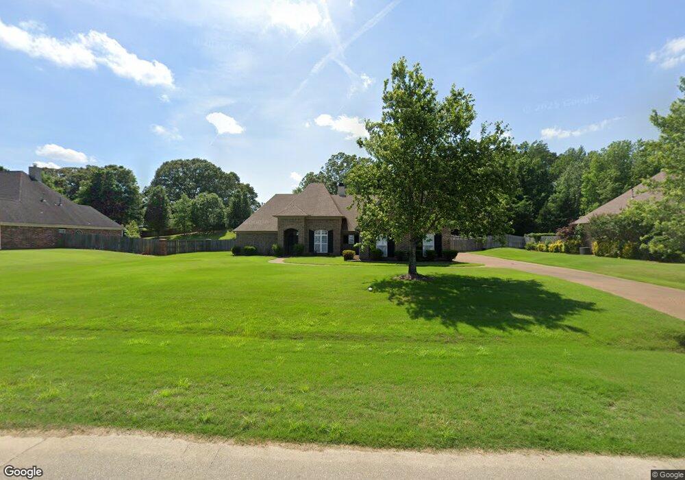
6315 Carson Dr Olive Branch, MS 38654
Pleasant Hill NeighborhoodEstimated Value: $386,000 - $443,000
3
Beds
3
Baths
2,538
Sq Ft
$164/Sq Ft
Est. Value
About This Home
This home is located at 6315 Carson Dr, Olive Branch, MS 38654 and is currently estimated at $417,255, approximately $164 per square foot. 6315 Carson Dr is a home located in DeSoto County with nearby schools including Pleasant Hill Elementary School, DeSoto Central Middle School, and DeSoto Central High School.
Ownership History
Date
Name
Owned For
Owner Type
Purchase Details
Closed on
Oct 26, 2020
Sold by
Redmon Thelmer and Redmon Thelma
Bought by
Lang Raymond B
Current Estimated Value
Purchase Details
Closed on
Oct 15, 2015
Sold by
Fox Eddie L
Bought by
Fox Eddie L and Redmon Thelma
Home Financials for this Owner
Home Financials are based on the most recent Mortgage that was taken out on this home.
Original Mortgage
$184,707
Interest Rate
3.94%
Mortgage Type
New Conventional
Create a Home Valuation Report for This Property
The Home Valuation Report is an in-depth analysis detailing your home's value as well as a comparison with similar homes in the area
Home Values in the Area
Average Home Value in this Area
Purchase History
| Date | Buyer | Sale Price | Title Company |
|---|---|---|---|
| Lang Raymond B | -- | None Available | |
| Fox Eddie L | -- | None Available |
Source: Public Records
Mortgage History
| Date | Status | Borrower | Loan Amount |
|---|---|---|---|
| Previous Owner | Fox Eddie L | $184,707 |
Source: Public Records
Tax History Compared to Growth
Tax History
| Year | Tax Paid | Tax Assessment Tax Assessment Total Assessment is a certain percentage of the fair market value that is determined by local assessors to be the total taxable value of land and additions on the property. | Land | Improvement |
|---|---|---|---|---|
| 2024 | $2,672 | $21,775 | $4,500 | $17,275 |
| 2023 | $2,672 | $21,775 | $0 | $0 |
| 2022 | $2,672 | $21,775 | $4,500 | $17,275 |
| 2021 | $2,972 | $21,775 | $4,500 | $17,275 |
| 2020 | $2,783 | $20,393 | $4,500 | $15,893 |
| 2019 | $2,783 | $20,393 | $4,500 | $15,893 |
| 2017 | $1,727 | $35,678 | $20,089 | $15,589 |
| 2016 | $1,727 | $20,946 | $4,500 | $16,446 |
| 2015 | $2,874 | $37,392 | $20,946 | $16,446 |
| 2014 | $1,845 | $20,946 | $0 | $0 |
| 2013 | $1,830 | $20,946 | $0 | $0 |
Source: Public Records
Map
Nearby Homes
- 4601 Bobo Place
- 6550 Nellwood Dr
- 4985 Bobo Place
- 4984 Wedgewood Dr
- 5035 Saint Andrews Cove
- 6056 E Fleur de Lis
- 4981 Waterstone Cove
- 4575 Roman Dell Cove
- 5126 Saint Andrews Cove
- 5835 S Manor Cove
- 6555 Masters Dr
- 5245 Masters Dr S
- 6570 Masters Dr
- 4773 Stone Cross Dr
- 6650 Player Dr
- 5217 Nail Rd
- 5540 Bunyan Hill Dr
- 4885 Stone Cross Dr
- 4650 Stone Park Blvd
- 4614 Stone Park Blvd
- 6297 Carson Dr
- 6333 Carson Dr
- 6351 Carson Dr
- 6279 Carson Dr
- 4619 Nance Place
- 6346 Nellwood Dr
- 6318 Nellwood Dr
- 6369 Carson Dr
- 4646 Nance Place
- 6261 Carson Dr
- 4655 Nance Place
- 6270 Carson Dr
- 6284 Nellwood Dr
- 4611 Bobo Place
- 6387 Carson Dr
- 6408 Nellwood Dr
- 6243 Carson Dr
- 4682 Nance Place
- 4727 Nance Place
- 6252 Carson Dr