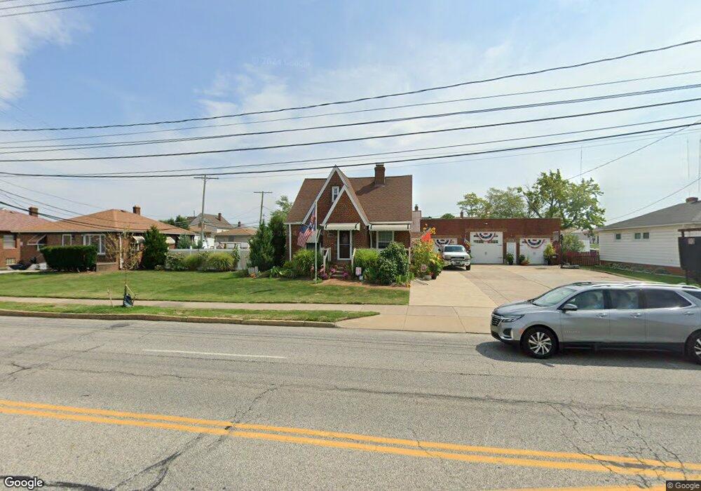
6315 State Rd Cleveland, OH 44134
Estimated Value: $211,000 - $250,607
3
Beds
2
Baths
2,600
Sq Ft
$89/Sq Ft
Est. Value
About This Home
This home is located at 6315 State Rd, Cleveland, OH 44134 and is currently estimated at $231,902, approximately $89 per square foot. 6315 State Rd is a home located in Cuyahoga County with nearby schools including Shiloh Middle School, John Muir Elementary School, and Normandy High School.
Ownership History
Date
Name
Owned For
Owner Type
Purchase Details
Closed on
Jan 25, 2013
Sold by
Roessner James and Roessner Elaine Edwartowski
Bought by
Roessner James Berry
Current Estimated Value
Purchase Details
Closed on
Sep 12, 2002
Sold by
Edwartowski Lucille Ann
Bought by
Roessner Elaine Edwartowski and Roessner James
Purchase Details
Closed on
Mar 22, 1985
Sold by
Edwartowski Henry J and L A
Bought by
Edwartowski Henry John
Purchase Details
Closed on
Jan 1, 1975
Bought by
Edwartowski Henry J and L A
Create a Home Valuation Report for This Property
The Home Valuation Report is an in-depth analysis detailing your home's value as well as a comparison with similar homes in the area
Home Values in the Area
Average Home Value in this Area
Purchase History
| Date | Buyer | Sale Price | Title Company |
|---|---|---|---|
| Roessner James Berry | -- | Attorney | |
| Roessner Elaine Edwartowski | -- | -- | |
| Roessner Elaine Edwartowski | -- | -- | |
| Edwartowski Henry John | -- | -- | |
| Edwartowski Henry J | -- | -- |
Source: Public Records
Tax History
| Year | Tax Paid | Tax Assessment Tax Assessment Total Assessment is a certain percentage of the fair market value that is determined by local assessors to be the total taxable value of land and additions on the property. | Land | Improvement |
|---|---|---|---|---|
| 2025 | $4,384 | $73,570 | $16,835 | $56,735 |
| 2024 | $4,643 | $73,570 | $16,835 | $56,735 |
| 2023 | $4,277 | $59,120 | $16,380 | $42,740 |
| 2022 | $4,240 | $59,115 | $16,380 | $42,735 |
| 2021 | $4,361 | $59,120 | $16,380 | $42,740 |
| 2020 | $4,052 | $48,480 | $13,440 | $35,040 |
| 2019 | $3,901 | $138,500 | $38,400 | $100,100 |
| 2018 | $3,923 | $48,480 | $13,440 | $35,040 |
| 2017 | $3,649 | $41,830 | $11,200 | $30,630 |
| 2016 | $3,629 | $41,830 | $11,200 | $30,630 |
| 2015 | $3,708 | $41,830 | $11,200 | $30,630 |
| 2014 | $3,708 | $44,980 | $12,040 | $32,940 |
Source: Public Records
Map
Nearby Homes
- 3323 Dellwood Dr
- 3255 Woodlawn Dr
- 3103 Norris Ave
- 3716 Grantwood Dr
- 6466 Concord Dr Unit M6
- 6484 State Rd Unit D-1
- 6482 State Rd Unit 16
- 3407 Wellington Ave
- 4001 W Ridgewood Dr
- 3402 Wellington Ave
- 3202 Parklane Dr
- 4809 Wellington Ave
- 4206 Orchard Park Dr
- 4918 Yorkshire Ave
- 6660 State Rd
- 4209 Orchard Park Dr
- 4202 Albertly Ave
- 6312 W 54th St
- 4515 Albertly Ave
- 3406 Marioncliff Dr
- 6307 State Rd
- 6303 State Rd
- 3440 Dellwood Dr
- 6323 State Rd
- 3427 Priscilla Ave
- 6299 State Rd
- 3436 Dellwood Dr
- 3423 Priscilla Ave
- 3419 Priscilla Ave
- 6312 State Rd
- 6308 State Rd
- 6291 State Rd
- 6304 State Rd
- 3428 Dellwood Dr
- 6300 State Rd
- 6335 State Rd
- 3415 Priscilla Ave
- 6296 State Rd
- 6287 State Rd
- 6320 State Rd
Your Personal Tour Guide
Ask me questions while you tour the home.