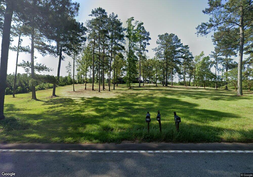
6316 Ga Highway 83 S Culloden, GA 31016
Estimated Value: $156,949 - $305,000
--
Bed
1
Bath
1,712
Sq Ft
$135/Sq Ft
Est. Value
About This Home
This home is located at 6316 Ga Highway 83 S, Culloden, GA 31016 and is currently estimated at $230,975, approximately $134 per square foot. 6316 Ga Highway 83 S is a home located in Monroe County with nearby schools including Samuel E. Hubbard Elementary School and Mary Persons High School.
Ownership History
Date
Name
Owned For
Owner Type
Purchase Details
Closed on
Jan 17, 2020
Sold by
Zellner James Dumas
Bought by
Zellner Marcus Lee and Zellner Noah Lindsey
Current Estimated Value
Purchase Details
Closed on
Nov 17, 2005
Sold by
Zellner James D
Bought by
Zellner Marcus L and Zellner Katherine J
Purchase Details
Closed on
Nov 26, 1997
Bought by
Zellner James D
Create a Home Valuation Report for This Property
The Home Valuation Report is an in-depth analysis detailing your home's value as well as a comparison with similar homes in the area
Home Values in the Area
Average Home Value in this Area
Purchase History
| Date | Buyer | Sale Price | Title Company |
|---|---|---|---|
| Zellner Marcus Lee | -- | -- | |
| Zellner Marcus L | -- | -- | |
| Zellner Marcus L | $39,000 | -- | |
| Zellner James D | -- | -- |
Source: Public Records
Tax History Compared to Growth
Tax History
| Year | Tax Paid | Tax Assessment Tax Assessment Total Assessment is a certain percentage of the fair market value that is determined by local assessors to be the total taxable value of land and additions on the property. | Land | Improvement |
|---|---|---|---|---|
| 2024 | $1,357 | $48,200 | $31,440 | $16,760 |
| 2023 | $1,302 | $46,280 | $31,440 | $14,840 |
| 2022 | $1,253 | $46,280 | $31,440 | $14,840 |
| 2021 | $1,297 | $46,280 | $31,440 | $14,840 |
| 2020 | $2,027 | $70,560 | $55,720 | $14,840 |
| 2019 | $2,043 | $70,560 | $55,720 | $14,840 |
| 2018 | $2,050 | $70,560 | $55,720 | $14,840 |
| 2017 | $2,051 | $70,560 | $55,720 | $14,840 |
| 2016 | $1,950 | $70,560 | $55,720 | $14,840 |
| 2015 | $1,849 | $70,560 | $55,720 | $14,840 |
| 2014 | $1,783 | $70,560 | $55,720 | $14,840 |
Source: Public Records
Map
Nearby Homes
- 305 Zellner Rd
- 0 Ramah Church Rd Unit 10480661
- 0 Ramah Church Rd Unit 7542675
- 351 Main St
- 737 Pine Grove Church Rd
- 0 Pine Grove Church Rd Unit LOT 2 10525757
- 0 Pine Grove Church Rd Unit LOT 1 10525767
- 0 Pine Grove Church Rd Unit 10645071
- 0 Pine Grove Church Rd Unit 25571715
- 500 Askin Place
- 144 Means Rd
- 1338 Edwards Rd
- 1721 Old Zebulon Rd
- 5588 Ga Highway 42 S Unit LOT 3
- 0 Abercrombie Rd Unit 24572833
- Highway 42
- TRACT A Russellville Rd
- TRACT B Russellville Rd
- 355 Dumas Rd
- 202 Community House Rd
- 6316 Ga Highway 83 S
- 6365 Ga Highway 83 S
- 6420 Ga Highway 83 S
- 6419 Hwy 83 S Unit B
- 6419 Ga Highway 83 S
- 6419 Ga Highway 83 S
- 0000 Georgia 83
- 000 Georgia 83
- 00 Georgia 83
- 3793 Us Highway 341
- 3902 Us Highway 341
- 3902 Highway 341
- 3845 Us Highway 341 Unit 2B
- 3845 Us Highway 341
- 3845 Hwy 341
- 3845 Us Highway 341 Unit 2B
- 3845 Us Highway 341
- 3845 Us Highway 341
- 3951 Us Highway 341
- 3951 Us Highway 341