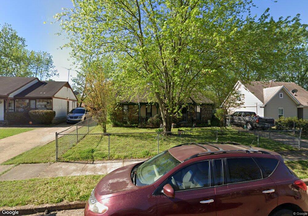
6317 Brockman Dr Millington, TN 38053
Estimated Value: $128,000 - $178,000
3
Beds
1
Bath
1,096
Sq Ft
$138/Sq Ft
Est. Value
About This Home
This home is located at 6317 Brockman Dr, Millington, TN 38053 and is currently estimated at $151,511, approximately $138 per square foot. 6317 Brockman Dr is a home located in Shelby County with nearby schools including Millington Elementary School and Millington High School.
Ownership History
Date
Name
Owned For
Owner Type
Purchase Details
Closed on
Dec 17, 2001
Sold by
Tapp Enterprises Inc
Bought by
Fitts Jimmie C
Current Estimated Value
Home Financials for this Owner
Home Financials are based on the most recent Mortgage that was taken out on this home.
Original Mortgage
$68,061
Outstanding Balance
$26,437
Interest Rate
6.49%
Mortgage Type
FHA
Estimated Equity
$125,074
Purchase Details
Closed on
Nov 22, 1999
Sold by
Dote Mark R and Dote Hollie J
Bought by
Tapp Enterprises Inc
Create a Home Valuation Report for This Property
The Home Valuation Report is an in-depth analysis detailing your home's value as well as a comparison with similar homes in the area
Home Values in the Area
Average Home Value in this Area
Purchase History
| Date | Buyer | Sale Price | Title Company |
|---|---|---|---|
| Fitts Jimmie C | $68,600 | -- | |
| Tapp Enterprises Inc | $64,000 | -- |
Source: Public Records
Mortgage History
| Date | Status | Borrower | Loan Amount |
|---|---|---|---|
| Open | Fitts Jimmie C | $68,061 |
Source: Public Records
Tax History Compared to Growth
Tax History
| Year | Tax Paid | Tax Assessment Tax Assessment Total Assessment is a certain percentage of the fair market value that is determined by local assessors to be the total taxable value of land and additions on the property. | Land | Improvement |
|---|---|---|---|---|
| 2025 | $731 | $34,450 | $2,625 | $31,825 |
| 2024 | $731 | $21,550 | $2,250 | $19,300 |
| 2023 | $731 | $21,550 | $2,250 | $19,300 |
| 2022 | $731 | $21,550 | $2,250 | $19,300 |
| 2021 | $743 | $21,550 | $2,250 | $19,300 |
| 2020 | $577 | $14,250 | $2,250 | $12,000 |
| 2019 | $577 | $14,250 | $2,250 | $12,000 |
| 2018 | $577 | $14,250 | $2,250 | $12,000 |
| 2017 | $586 | $14,250 | $2,250 | $12,000 |
| 2016 | $605 | $13,850 | $0 | $0 |
| 2014 | $605 | $13,850 | $0 | $0 |
Source: Public Records
Map
Nearby Homes
- 6296 Woodgreen Dr
- 6367 Raible Dr
- 7702 Marvin Rd
- 7881 Sherman Rd
- 7783 Commodore Rd
- 7804 Commodore Rd
- 7814 Commodore Rd
- 6948 Northknoll Ave
- 7754 Shamrock Rd
- 7825 Mahoney Rd
- 0 Bethuel Rd Unit 1
- 0 Sledge Rd
- 7194 Millington Arlington Rd
- 6125 Pleasant Ridge Rd
- 5557 Shipp Rd
- 5553 Shipp Rd
- 5545 Shipp Rd
- 5119 Shellback Dr
- 5517 Shipp Rd
- 5037 Shellback Dr
- 6323 Brockman Dr
- 6311 Brockman Dr
- 6314 Leamont Dr
- 6329 Brockman Dr
- 6320 Leamont Dr
- 6305 Brockman Dr
- 6308 Leamont Dr
- 6326 Leamont Dr
- 6318 Brockman Dr
- 6324 Brockman Dr
- 6312 Brockman Dr
- 6302 Leamont Dr
- 6335 Brockman Dr
- 6299 Brockman Dr
- 6330 Brockman Dr
- 6332 Leamont Dr
- 6306 Brockman Dr
- 6298 Leamont Dr
- 6336 Brockman Dr
- 6341 Brockman Dr