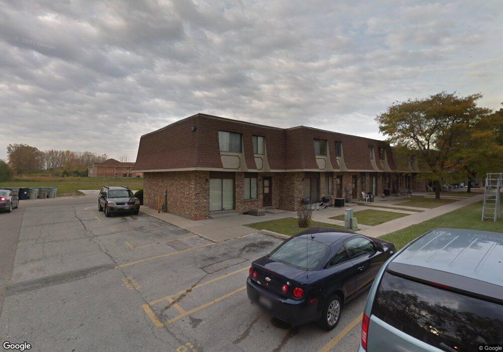
6317 W Port Ave Unit E1 Milwaukee, WI 53223
Bradley Estates NeighborhoodEstimated Value: $91,000 - $95,726
3
Beds
3
Baths
1,311
Sq Ft
$71/Sq Ft
Est. Value
About This Home
This home is located at 6317 W Port Ave Unit E1, Milwaukee, WI 53223 and is currently estimated at $93,182, approximately $71 per square foot. 6317 W Port Ave Unit E1 is a home located in Milwaukee County with nearby schools including Craig Montessori School, Milwaukee German Immersion School, and La Escuela Fratney.
Ownership History
Date
Name
Owned For
Owner Type
Purchase Details
Closed on
Feb 24, 2003
Sold by
Newtowne Enterprises Llc
Bought by
James Bertha
Current Estimated Value
Home Financials for this Owner
Home Financials are based on the most recent Mortgage that was taken out on this home.
Original Mortgage
$50,440
Outstanding Balance
$21,795
Interest Rate
5.95%
Mortgage Type
Purchase Money Mortgage
Estimated Equity
$71,387
Purchase Details
Closed on
Nov 7, 2002
Sold by
Boyd Charles and Boyd Linda Mae
Bought by
Newtowne Enterprises Llc
Create a Home Valuation Report for This Property
The Home Valuation Report is an in-depth analysis detailing your home's value as well as a comparison with similar homes in the area
Home Values in the Area
Average Home Value in this Area
Purchase History
| Date | Buyer | Sale Price | Title Company |
|---|---|---|---|
| James Bertha | $52,000 | -- | |
| Newtowne Enterprises Llc | $11,642 | -- |
Source: Public Records
Mortgage History
| Date | Status | Borrower | Loan Amount |
|---|---|---|---|
| Open | James Bertha | $50,440 |
Source: Public Records
Tax History
| Year | Tax Paid | Tax Assessment Tax Assessment Total Assessment is a certain percentage of the fair market value that is determined by local assessors to be the total taxable value of land and additions on the property. | Land | Improvement |
|---|---|---|---|---|
| 2024 | $1,452 | $68,000 | $5,500 | $62,500 |
| 2023 | $1,316 | $55,700 | $5,500 | $50,200 |
| 2022 | $1,011 | $55,700 | $5,500 | $50,200 |
| 2021 | $1,156 | $56,000 | $5,500 | $50,500 |
| 2020 | $1,207 | $58,500 | $5,500 | $53,000 |
| 2019 | $2,004 | $37,000 | $5,500 | $31,500 |
| 2018 | $727 | $37,000 | $5,500 | $31,500 |
| 2017 | $806 | $37,000 | $5,500 | $31,500 |
| 2016 | $844 | $37,000 | $5,500 | $31,500 |
| 2015 | -- | $37,000 | $5,500 | $31,500 |
| 2014 | -- | $37,000 | $5,500 | $31,500 |
| 2013 | -- | $43,500 | $5,500 | $38,000 |
Source: Public Records
Map
Nearby Homes
- 6254 W Port Ave Unit C18
- 6226 W Port Ave Unit C32
- 6202 W Port Ave Unit C44
- 6041 W Port Ave Unit A
- 6011 W Port Ave Unit 205K
- 7837 N 60th St Unit G
- 7833 N 60th St Unit A
- 7721 N 60th St Unit 104D
- 7721 N 60th St
- 7731 N 60th St Unit G
- 6113 W Calumet Rd Unit A4
- 6081 W Calumet Rd
- 6077 W Calumet Rd Unit A19
- 7901 N 66th St
- 7871 N 60th St
- 5706 W Luebbe Ln
- 6258 W Tower Ave
- 7650 N Delta Place
- 7649 N 51st Blvd
- 8274 N 55th St
- 6315 W Port Ave
- 6313 W Port Ave Unit E3
- 6227 W Port Ave
- 6231 W Port Ave
- 6233 W Port Ave
- 6235 W Port Ave Unit E42
- 6237 W Port Ave
- 6239 W Port Ave Unit E40
- 6241 W Port Ave
- 6243 W Port Ave Unit E38
- 6245 W Port Ave Unit E37
- 6247 W Port Ave
- 6249 W Port Ave
- 6251 W Port Ave
- 6253 W Port Ave Unit E33
- 6255 W Port Ave Unit E32
- 6257 W Port Ave Unit E31
- 6259 W Port Ave Unit E30
- 6261 W Port Ave Unit E29
Your Personal Tour Guide
Ask me questions while you tour the home.