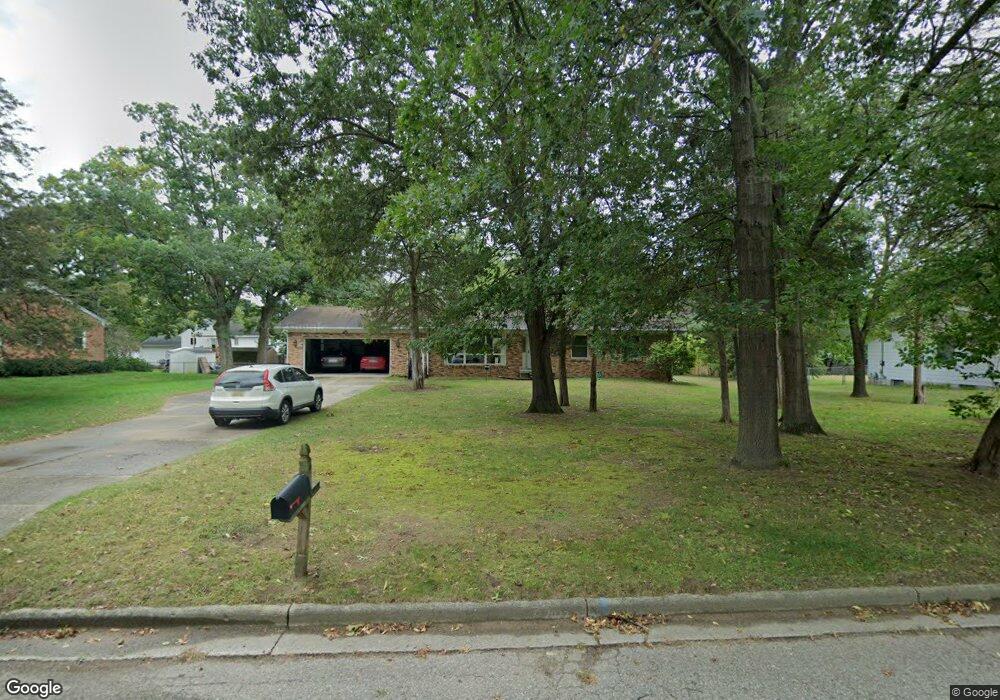
632 Birchwood Ct Lowell, MI 49331
Estimated Value: $271,000 - $351,124
3
Beds
2
Baths
1,486
Sq Ft
$213/Sq Ft
Est. Value
About This Home
This home is located at 632 Birchwood Ct, Lowell, MI 49331 and is currently estimated at $315,781, approximately $212 per square foot. 632 Birchwood Ct is a home located in Kent County with nearby schools including Bushnell Elementary School, Cherry Creek Elementary School, and Lowell Middle School.
Ownership History
Date
Name
Owned For
Owner Type
Purchase Details
Closed on
Sep 16, 2020
Sold by
Mary F Richard Revocable Living Trust
Bought by
Mcclurg Thomas William and Mcclurg Amber R
Current Estimated Value
Home Financials for this Owner
Home Financials are based on the most recent Mortgage that was taken out on this home.
Original Mortgage
$132,000
Outstanding Balance
$116,924
Interest Rate
2.8%
Mortgage Type
New Conventional
Estimated Equity
$198,857
Purchase Details
Closed on
Feb 15, 2017
Sold by
Richard Mary F
Bought by
Richard Mary F
Purchase Details
Closed on
Jun 1, 1978
Bought by
Richard W and Richard William C
Create a Home Valuation Report for This Property
The Home Valuation Report is an in-depth analysis detailing your home's value as well as a comparison with similar homes in the area
Home Values in the Area
Average Home Value in this Area
Purchase History
| Date | Buyer | Sale Price | Title Company |
|---|---|---|---|
| Mcclurg Thomas William | $165,000 | None Available | |
| Richard Mary F | -- | None Available | |
| Richard W | $9,700 | -- |
Source: Public Records
Mortgage History
| Date | Status | Borrower | Loan Amount |
|---|---|---|---|
| Open | Mcclurg Thomas William | $132,000 |
Source: Public Records
Tax History Compared to Growth
Tax History
| Year | Tax Paid | Tax Assessment Tax Assessment Total Assessment is a certain percentage of the fair market value that is determined by local assessors to be the total taxable value of land and additions on the property. | Land | Improvement |
|---|---|---|---|---|
| 2025 | $4,729 | $163,400 | $0 | $0 |
| 2024 | $4,729 | $139,200 | $0 | $0 |
| 2023 | $5,024 | $121,100 | $0 | $0 |
| 2022 | $4,819 | $107,500 | $0 | $0 |
| 2021 | $5,149 | $114,400 | $0 | $0 |
| 2020 | $2,484 | $90,700 | $0 | $0 |
| 2019 | $2,917 | $88,900 | $0 | $0 |
| 2018 | $2,854 | $81,500 | $0 | $0 |
| 2017 | $2,783 | $75,400 | $0 | $0 |
| 2016 | $2,706 | $72,000 | $0 | $0 |
| 2015 | -- | $72,000 | $0 | $0 |
| 2013 | -- | $59,000 | $0 | $0 |
Source: Public Records
Map
Nearby Homes
- 610 Birchwood Ct SE
- 510 N Hudson St SE
- 725 N Lafayette St SE
- 521 Spring St
- 913 N Monroe St
- 926 N Washington St
- 220 King St Unit 10
- 220 King St Unit 6
- 1060 N Washington St
- 414 N Jefferson St
- 1550 Carol Lynne Dr
- 1080 N Washington St SE
- 216 W Main St Unit 6
- Cedarwood Plan at Flat River Estates
- Sycamore Plan at Flat River Estates
- Elmwood Plan at Flat River Estates
- Chestnut Plan at Flat River Estates
- Redwood Plan at Flat River Estates
- Whitby Plan at Flat River Estates
- Bay Harbor Plan at Flat River Estates