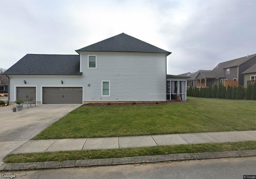
632 Deer Valley Dr Unit 127 Hixson, TN 37343
Falling Water NeighborhoodEstimated Value: $754,000 - $907,000
--
Bed
4
Baths
3,614
Sq Ft
$228/Sq Ft
Est. Value
About This Home
This home is located at 632 Deer Valley Dr Unit 127, Hixson, TN 37343 and is currently estimated at $823,660, approximately $227 per square foot. 632 Deer Valley Dr Unit 127 is a home located in Hamilton County with nearby schools including Ganns Middle Valley Elementary School, Red Bank Middle School, and Red Bank High School.
Ownership History
Date
Name
Owned For
Owner Type
Purchase Details
Closed on
Jan 26, 2017
Sold by
Pratt Homebuilders Ii Llc
Bought by
Haberhern Lance C and Haberhern Heather N
Current Estimated Value
Home Financials for this Owner
Home Financials are based on the most recent Mortgage that was taken out on this home.
Original Mortgage
$388,020
Outstanding Balance
$320,904
Interest Rate
4.16%
Mortgage Type
FHA
Estimated Equity
$502,756
Purchase Details
Closed on
Aug 1, 2016
Sold by
Pratt & Associates Llc
Bought by
Pratt Homebuilders Ii Llc
Create a Home Valuation Report for This Property
The Home Valuation Report is an in-depth analysis detailing your home's value as well as a comparison with similar homes in the area
Home Values in the Area
Average Home Value in this Area
Purchase History
| Date | Buyer | Sale Price | Title Company |
|---|---|---|---|
| Haberhern Lance C | $485,025 | None Available | |
| Pratt Homebuilders Ii Llc | -- | None Available |
Source: Public Records
Mortgage History
| Date | Status | Borrower | Loan Amount |
|---|---|---|---|
| Open | Haberhern Lance C | $388,020 |
Source: Public Records
Tax History Compared to Growth
Tax History
| Year | Tax Paid | Tax Assessment Tax Assessment Total Assessment is a certain percentage of the fair market value that is determined by local assessors to be the total taxable value of land and additions on the property. | Land | Improvement |
|---|---|---|---|---|
| 2024 | $2,920 | $130,500 | $0 | $0 |
| 2023 | $2,929 | $130,500 | $0 | $0 |
| 2022 | $2,929 | $130,500 | $0 | $0 |
| 2021 | $2,929 | $130,500 | $0 | $0 |
| 2020 | $3,297 | $118,900 | $0 | $0 |
| 2019 | $3,297 | $118,900 | $0 | $0 |
| 2018 | $3,297 | $118,900 | $0 | $0 |
| 2017 | $2,911 | $118,900 | $0 | $0 |
| 2016 | $311 | $0 | $0 | $0 |
| 2015 | $311 | $11,250 | $0 | $0 |
| 2014 | $311 | $0 | $0 | $0 |
Source: Public Records
Map
Nearby Homes
- 595 Deer Valley Dr
- 805 Pickett Gulf Rd
- 5940 Sunset Canyon Dr
- 598 Blue Canyon Ln
- 733 Ray Ln
- 792 Sawmill Trail
- 6016&6014 Browntown Rd
- 0 Dayton Blvd Unit RTC2802699
- 0 Dayton Blvd Unit 1508885
- 101 La Porte Dr
- 311 Roberts Mill Rd
- 1000 Sawyer Cemetery Rd
- 5977 Crestview Dr
- 0 Rocky Ledge Rd Unit 1514267
- 5839 Dayton Blvd
- 100 Pine Cone Ln
- 855 Split Rock Trail
- 7258 Grey Hawk Trail
- 107 Pine Forest Ln
- 3 Abelia Ln
- 632 Deer Valley Dr
- 626 Deer Valley Dr Unit 63
- 626 Deer Valley Dr
- 421 Boulder Creek Trail
- 421 Boulder Creek Trail Unit 62
- 425 Boulder Creek Trail
- 425 Boulder Creek Trail Unit 61
- 662 Deer Valley Dr
- 643 Deer Valley Dr
- 668 Clear Canyon Dr
- 691 Clear Canyon Dr
- 659 Deer Valley Dr Unit LOT 124
- 659 Deer Valley Dr
- 677 Clear Canyon Dr
- 429 Boulder Creek Trail
- 429 Boulder Creek Trail Unit 60
- 627 Deer Valley Dr
- 433 Boulder Creek Trail
- 665 Clear Canyon Dr
- 665 Clear Canyon Dr Unit LOT 191