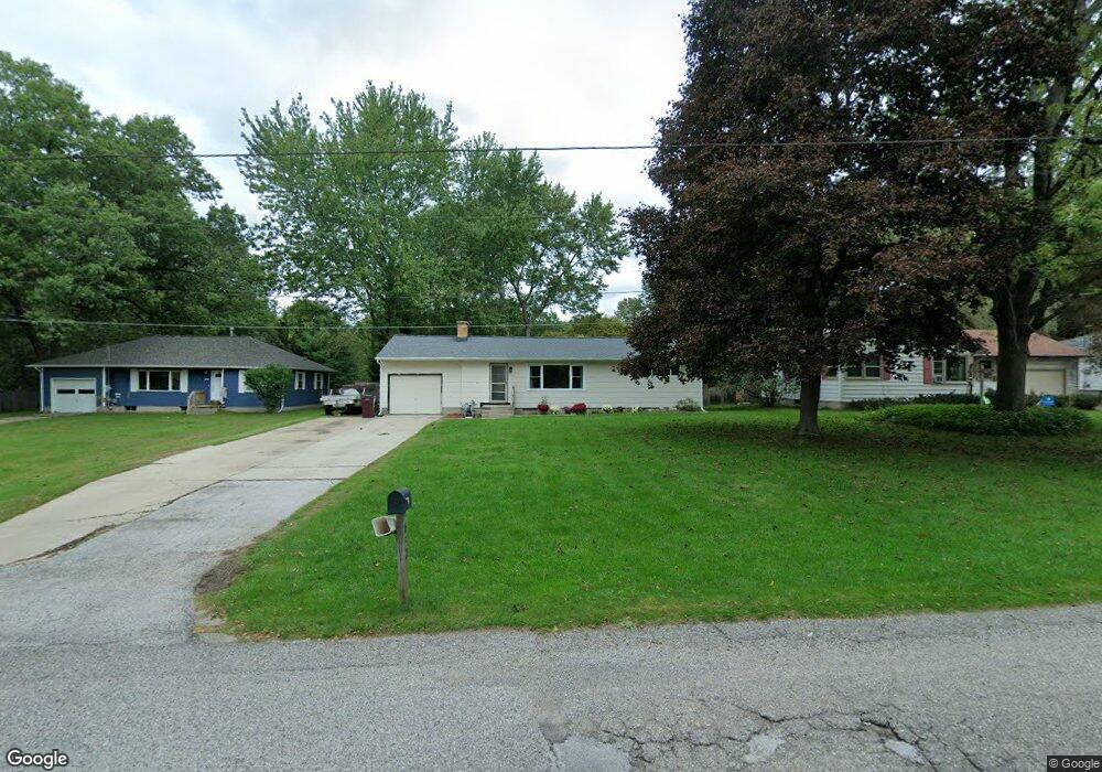
632 E Lewis St Whitehall, MI 49461
Estimated Value: $171,139 - $231,000
Studio
1
Bath
1,008
Sq Ft
$210/Sq Ft
Est. Value
About This Home
This home is located at 632 E Lewis St, Whitehall, MI 49461 and is currently estimated at $211,785, approximately $210 per square foot. 632 E Lewis St is a home located in Muskegon County with nearby schools including Shoreline Elementary School, Ealy Elementary School, and Whitehall Middle School.
Ownership History
Date
Name
Owned For
Owner Type
Purchase Details
Closed on
Mar 1, 2005
Sold by
Johnson Melvin G and Johnson Joanne J
Bought by
Homrich Sue
Current Estimated Value
Purchase Details
Closed on
Nov 11, 2004
Sold by
Mavis Gena M
Bought by
Homrich Susan
Home Financials for this Owner
Home Financials are based on the most recent Mortgage that was taken out on this home.
Original Mortgage
$93,500
Outstanding Balance
$51,649
Interest Rate
7.87%
Mortgage Type
Unknown
Estimated Equity
$160,136
Create a Home Valuation Report for This Property
The Home Valuation Report is an in-depth analysis detailing your home's value as well as a comparison with similar homes in the area
Home Values in the Area
Average Home Value in this Area
Purchase History
| Date | Buyer | Sale Price | Title Company |
|---|---|---|---|
| Homrich Sue | -- | -- | |
| Homrich Susan | $93,500 | -- |
Source: Public Records
Mortgage History
| Date | Status | Borrower | Loan Amount |
|---|---|---|---|
| Open | Homrich Susan | $93,500 |
Source: Public Records
Tax History
| Year | Tax Paid | Tax Assessment Tax Assessment Total Assessment is a certain percentage of the fair market value that is determined by local assessors to be the total taxable value of land and additions on the property. | Land | Improvement |
|---|---|---|---|---|
| 2025 | $1,852 | $73,800 | $0 | $0 |
| 2024 | $1,159 | $69,600 | $0 | $0 |
| 2023 | $1,106 | $60,700 | $0 | $0 |
| 2022 | $1,797 | $52,800 | $0 | $0 |
| 2021 | $1,745 | $48,300 | $0 | $0 |
| 2020 | $1,725 | $45,800 | $0 | $0 |
| 2019 | $1,631 | $45,000 | $0 | $0 |
| 2018 | $1,588 | $42,300 | $0 | $0 |
| 2017 | $1,556 | $41,400 | $0 | $0 |
| 2016 | $933 | $38,800 | $0 | $0 |
| 2015 | -- | $36,500 | $0 | $0 |
| 2014 | -- | $36,400 | $0 | $0 |
| 2013 | -- | $33,500 | $0 | $0 |
Source: Public Records
Map
Nearby Homes
- 604 E Muskegon Ave
- 913 E Lewis St
- 1125 Warner St
- 1300 Sydney St
- 936 S Division St
- V/L Beechmont Ave
- 1309 Waterpoint Ct
- 812 S Lake St
- 1016 E Colby St
- 910 S Lake St
- 900 S Lake St
- 720 N Cottage Ct
- 1024 S Cove Cir
- 1020 S Cove Cir
- 218 N Baldwin St
- 1413 Carleton St
- 0 W White Lake Dr
- 1442 Burnside Rd
- Lot 2 Old Channel Trail
- 0 Whitehall Rd Unit 413
- 636 E Lewis St
- 628 E Lewis St
- 600 E Lewis St
- 640 E Lewis St
- 0 E Lewis St Unit 71016002901
- 0 E Lewis St Unit 71020006918
- 0 E Lewis St Unit 71020006920
- 0 E Lewis St Unit M14060465
- 0 E Lewis St Unit M16002909
- 0 E Lewis St Unit M16002901
- 0 E Lewis St Unit M18017709
- 0 E Lewis St Unit M18040268
- 0 E Lewis St Unit M18040253
- 0 E Lewis St Unit M20006918
- 0 E Lewis St Unit M20006920
- 0 E Lewis St Unit 71018017709
- 827 E Lewis St
- 0 E Lewis St Unit 71016002909
- 0 E Lewis St Unit 71017007397
- 0 E Lewis St Unit 71014060465
Your Personal Tour Guide
Ask me questions while you tour the home.