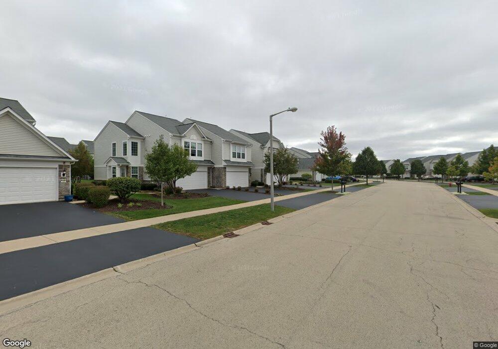
632 Hawley Dr Unit 363 Oswego, IL 60543
North Oswego NeighborhoodEstimated Value: $304,000 - $318,939
3
Beds
3
Baths
1,520
Sq Ft
$204/Sq Ft
Est. Value
About This Home
This home is located at 632 Hawley Dr Unit 363, Oswego, IL 60543 and is currently estimated at $310,235, approximately $204 per square foot. 632 Hawley Dr Unit 363 is a home located in Kendall County with nearby schools including Southbury Elementary School, Murphy Junior High School, and Oswego East High School.
Ownership History
Date
Name
Owned For
Owner Type
Purchase Details
Closed on
Nov 12, 2008
Sold by
Pulte Home Corporation
Bought by
Mazurek Michelle R
Current Estimated Value
Home Financials for this Owner
Home Financials are based on the most recent Mortgage that was taken out on this home.
Original Mortgage
$142,348
Interest Rate
5.08%
Mortgage Type
Purchase Money Mortgage
Create a Home Valuation Report for This Property
The Home Valuation Report is an in-depth analysis detailing your home's value as well as a comparison with similar homes in the area
Home Values in the Area
Average Home Value in this Area
Purchase History
| Date | Buyer | Sale Price | Title Company |
|---|---|---|---|
| Mazurek Michelle R | $178,000 | Pmt |
Source: Public Records
Mortgage History
| Date | Status | Borrower | Loan Amount |
|---|---|---|---|
| Previous Owner | Mazurek Michelle R | $142,348 |
Source: Public Records
Tax History Compared to Growth
Tax History
| Year | Tax Paid | Tax Assessment Tax Assessment Total Assessment is a certain percentage of the fair market value that is determined by local assessors to be the total taxable value of land and additions on the property. | Land | Improvement |
|---|---|---|---|---|
| 2024 | $6,270 | $83,910 | $16,496 | $67,414 |
| 2023 | $5,610 | $74,256 | $14,598 | $59,658 |
| 2022 | $5,610 | $68,125 | $13,393 | $54,732 |
| 2021 | $5,688 | $66,789 | $13,130 | $53,659 |
| 2020 | $5,682 | $66,128 | $13,000 | $53,128 |
| 2019 | $5,772 | $66,128 | $13,000 | $53,128 |
| 2018 | $5,405 | $61,841 | $9,456 | $52,385 |
| 2017 | $5,228 | $56,996 | $8,715 | $48,281 |
| 2016 | $4,865 | $52,774 | $8,069 | $44,705 |
| 2015 | $4,579 | $47,976 | $7,335 | $40,641 |
| 2014 | -- | $46,131 | $7,053 | $39,078 |
| 2013 | -- | $48,559 | $7,424 | $41,135 |
Source: Public Records
Map
Nearby Homes
- 154 Chapin Way
- 2566 Rourke Dr
- 115 Henderson St
- Meadowlark Plan at Hudson Pointe - II - Horizon Series
- Starling Plan at Hudson Pointe - II - Horizon Series
- Townsend Plan at Hudson Pointe - II - Horizon Series
- Marianne Plan at Hudson Pointe - II - Townhome Series
- Darcy Plan at Hudson Pointe - II - Townhome Series
- Charlotte Plan at Hudson Pointe - II - Townhome Series
- Brighton Plan at Hudson Pointe - II - Horizon Series
- Hawthorne Plan at Hudson Pointe - II - Horizon Series
- Glenwood Plan at Hudson Pointe - II - Horizon Series
- Essex Plan at Hudson Pointe - II - Horizon Series
- 320 Ellis St
- 1819 Indian Hill Ln Unit 4104
- 135 Henderson St
- 1741 Fredericksburg Ln
- 464 Hathaway Ln
- 462 Hathaway Ln
- 456 Hathaway Ln
- 630 Hawley Dr Unit 4364
- 632 Hawley Dr Unit 4363
- 636 Hawley Dr Unit 4361
- 630 Hawley Dr Unit 630
- 634 Hawley Dr Unit 4362
- 634 Hawley Dr Unit 634
- 265 Devoe Dr Unit 265
- 265 Devoe Dr Unit 543
- 265 Devoe Dr
- 265 Devoe Dr Unit 323
- 263 Devoe Dr
- 261 Devoe Dr Unit 4321
- 263 Devoe Dr Unit 322
- 263 Devoe Dr Unit 7-2
- 267 Devoe Dr Unit 324
- 640 Hawley Dr
- 642 Hawley Dr Unit 4373
- 644 Hawley Dr Unit 4372
- 646 Hawley Dr Unit 4371
- 620 Hawley Dr Unit 4354