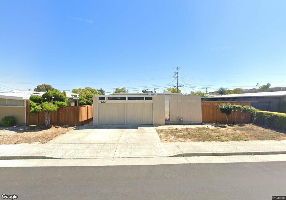
632 Joanne Dr San Mateo, CA 94402
Hayward Park NeighborhoodEstimated Value: $1,700,000 - $1,955,000
2
Beds
2
Baths
1,400
Sq Ft
$1,306/Sq Ft
Est. Value
About This Home
This home is located at 632 Joanne Dr, San Mateo, CA 94402 and is currently estimated at $1,828,332, approximately $1,305 per square foot. 632 Joanne Dr is a home located in San Mateo County with nearby schools including Sunnybrae Elementary School, Borel Middle School, and Aragon High School.
Ownership History
Date
Name
Owned For
Owner Type
Purchase Details
Closed on
Oct 14, 2003
Sold by
Renear Robert M and Renear Daniel A
Bought by
Renear Robert M
Current Estimated Value
Home Financials for this Owner
Home Financials are based on the most recent Mortgage that was taken out on this home.
Original Mortgage
$125,000
Interest Rate
6.14%
Mortgage Type
Credit Line Revolving
Purchase Details
Closed on
Jul 15, 2002
Sold by
Renear Robert M and Renear Daniel A
Bought by
Renear Robert M and Renear Daniel A
Create a Home Valuation Report for This Property
The Home Valuation Report is an in-depth analysis detailing your home's value as well as a comparison with similar homes in the area
Home Values in the Area
Average Home Value in this Area
Purchase History
| Date | Buyer | Sale Price | Title Company |
|---|---|---|---|
| Renear Robert M | -- | Fidelity National Title | |
| Renear Robert M | -- | -- |
Source: Public Records
Mortgage History
| Date | Status | Borrower | Loan Amount |
|---|---|---|---|
| Closed | Renear Robert M | $125,000 |
Source: Public Records
Tax History Compared to Growth
Tax History
| Year | Tax Paid | Tax Assessment Tax Assessment Total Assessment is a certain percentage of the fair market value that is determined by local assessors to be the total taxable value of land and additions on the property. | Land | Improvement |
|---|---|---|---|---|
| 2025 | $6,608 | $421,693 | $198,186 | $223,507 |
| 2023 | $6,608 | $405,325 | $190,494 | $214,831 |
| 2022 | $6,488 | $397,382 | $186,761 | $210,621 |
| 2021 | $5,980 | $389,594 | $183,101 | $206,493 |
| 2020 | $5,870 | $385,602 | $181,225 | $204,377 |
| 2019 | $5,710 | $378,044 | $177,673 | $200,371 |
| 2018 | $5,029 | $370,635 | $174,191 | $196,444 |
| 2017 | $4,808 | $363,371 | $170,777 | $192,594 |
| 2016 | $4,658 | $356,249 | $167,430 | $188,819 |
| 2015 | $4,546 | $350,901 | $164,917 | $185,984 |
| 2014 | $4,500 | $344,030 | $161,688 | $182,342 |
Source: Public Records
Map
Nearby Homes
- 617 Guildford Ave
- 1662 Washington St
- 1705 Palm Ave Unit 19
- 1225 Carlisle Dr
- 720 Birch Ave
- 30 16th Ave
- 1927 Palm Ave
- 1931 Palm Ave
- 1224 Norton St
- 1418 Hancock Ave
- 1100 Norton St
- 724 10th Ave
- 1107 Palm Ave
- 104 N Hummingbird Ln
- 1757 S Norfolk St Unit S
- 128 Rosewood Dr
- 138 Rosewood Dr
- 118 Rosewood Dr
- 908 S Grant St Unit S
- 933 S B St