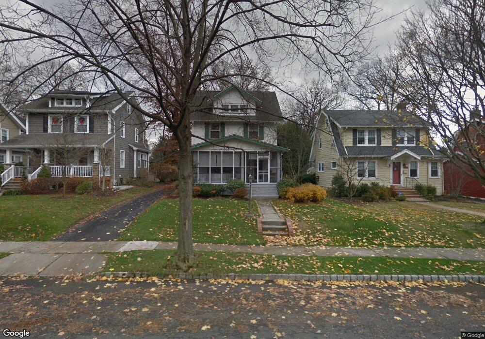
632 Kimball Ave Westfield, NJ 07090
Estimated Value: $975,099 - $1,206,000
--
Bed
--
Bath
2,379
Sq Ft
$471/Sq Ft
Est. Value
About This Home
This home is located at 632 Kimball Ave, Westfield, NJ 07090 and is currently estimated at $1,121,025, approximately $471 per square foot. 632 Kimball Ave is a home located in Union County with nearby schools including Wilson Elementary School, Roosevelt Intermediate School, and Westfield Senior High School.
Ownership History
Date
Name
Owned For
Owner Type
Purchase Details
Closed on
Jun 20, 2016
Sold by
Demarco John C and Demarco Linda
Bought by
Demarco John & Linda-Living Trust
Current Estimated Value
Purchase Details
Closed on
Sep 8, 1975
Bought by
Demarco John C and Demarco Linda
Create a Home Valuation Report for This Property
The Home Valuation Report is an in-depth analysis detailing your home's value as well as a comparison with similar homes in the area
Home Values in the Area
Average Home Value in this Area
Purchase History
| Date | Buyer | Sale Price | Title Company |
|---|---|---|---|
| Demarco John & Linda-Living Trust | -- | -- | |
| Demarco John C | -- | -- |
Source: Public Records
Tax History Compared to Growth
Tax History
| Year | Tax Paid | Tax Assessment Tax Assessment Total Assessment is a certain percentage of the fair market value that is determined by local assessors to be the total taxable value of land and additions on the property. | Land | Improvement |
|---|---|---|---|---|
| 2025 | $15,899 | $712,400 | $473,300 | $239,100 |
| 2024 | $15,574 | $706,000 | $473,300 | $232,700 |
| 2023 | $15,574 | $706,000 | $473,300 | $232,700 |
| 2022 | $15,250 | $706,000 | $473,300 | $232,700 |
| 2021 | $15,271 | $706,000 | $473,300 | $232,700 |
| 2020 | $15,235 | $706,000 | $473,300 | $232,700 |
| 2019 | $15,179 | $706,000 | $473,300 | $232,700 |
| 2018 | $15,182 | $163,300 | $66,200 | $97,100 |
| 2017 | $15,099 | $163,300 | $66,200 | $97,100 |
| 2016 | $14,744 | $163,300 | $66,200 | $97,100 |
| 2015 | $14,450 | $163,300 | $66,200 | $97,100 |
| 2014 | $13,974 | $163,300 | $66,200 | $97,100 |
Source: Public Records
Map
Nearby Homes
- 645 Kimball Ave
- 149 Harrison Ave
- 508 N Chestnut St
- 415 Highland Ave
- 766 Oak Ave
- 112 Linden Ave
- 304 E Dudley Ave
- 764 Fairacres Ave
- 131 Wells St
- 629 Tremont Ave
- 559 Lawrence Ave
- 824 Grant Ave
- 819 Standish Ave
- 820 E Broad St
- 260 Prospect St Unit C15
- 740 Lawrence Ave
- 869 Standish Ave
- 303 Prospect St
- 529 Benson Place
- 11 Mountainview Dr