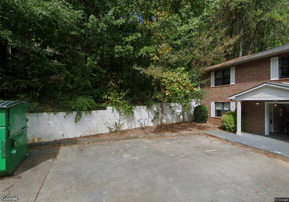
632 Pisgah Way Calhoun, GA 30701
Estimated Value: $296,422 - $338,000
4
Beds
3
Baths
3,030
Sq Ft
$106/Sq Ft
Est. Value
About This Home
This home is located at 632 Pisgah Way, Calhoun, GA 30701 and is currently estimated at $320,356, approximately $105 per square foot. 632 Pisgah Way is a home located in Gordon County with nearby schools including Calhoun Primary School, Calhoun Elementary School, and Calhoun Middle School.
Ownership History
Date
Name
Owned For
Owner Type
Purchase Details
Closed on
Mar 11, 2010
Sold by
Townsend Dawn S
Bought by
Townsend Dawn S
Current Estimated Value
Purchase Details
Closed on
Feb 22, 2010
Sold by
Townsend Dawn S
Bought by
Townsend Dawn S
Purchase Details
Closed on
Jan 13, 2007
Sold by
Townsend Jefferson Lee and Townsend Dawn S
Bought by
Townsend Dawn S
Purchase Details
Closed on
Oct 12, 1987
Bought by
Townsend Jefferson Lee and Townsend Dawn S
Create a Home Valuation Report for This Property
The Home Valuation Report is an in-depth analysis detailing your home's value as well as a comparison with similar homes in the area
Home Values in the Area
Average Home Value in this Area
Purchase History
| Date | Buyer | Sale Price | Title Company |
|---|---|---|---|
| Townsend Dawn S | -- | -- | |
| Townsend Dawn S | -- | -- | |
| Townsend Dawn S | -- | -- | |
| Townsend Jefferson Lee | -- | -- |
Source: Public Records
Tax History Compared to Growth
Tax History
| Year | Tax Paid | Tax Assessment Tax Assessment Total Assessment is a certain percentage of the fair market value that is determined by local assessors to be the total taxable value of land and additions on the property. | Land | Improvement |
|---|---|---|---|---|
| 2024 | $1,703 | $83,784 | $7,000 | $76,784 |
| 2023 | $1,548 | $78,272 | $7,000 | $71,272 |
| 2022 | $676 | $72,996 | $7,000 | $65,996 |
| 2021 | $1,794 | $60,888 | $7,000 | $53,888 |
| 2020 | $1,833 | $61,732 | $7,000 | $54,732 |
| 2019 | $1,830 | $61,732 | $7,000 | $54,732 |
| 2018 | $532 | $57,208 | $7,000 | $50,208 |
| 2017 | $511 | $53,968 | $7,000 | $46,968 |
| 2016 | $512 | $53,968 | $7,000 | $46,968 |
| 2015 | $508 | $52,888 | $7,000 | $45,888 |
| 2014 | $482 | $50,934 | $7,000 | $43,934 |
Source: Public Records
Map
Nearby Homes
- 622 Pisgah Way
- 103 Mims Dr
- 113 Waterside Dr
- 91 Echota 4th St
- 107 Garden Hill Dr
- 98 Echota 5th St
- 105 Garden Hill Dr
- 111 Meadow Ln
- 712 College St
- 125 Mill Pond Ln
- 108 Mill Stone Dr
- 113 Mill Pond Ln
- 121 Hunt Dr
- 106 Millers Ln
- 122 Millers Ln
- 115 Old Mill Dr
- 135 Millers Ln
- 137 Millers Ln
- 0 Red Bud Rd NE Unit 123029
- 511 Boulevard Heights
- 108 Springdale Dr
- 630 Pisgah Way
- 00 Pisgah Way
- 628 Pisgah Way
- 107 Springdale Dr
- 624 Pisgah Way
- 101 Springdale Dr
- 58 Old Red Bud Rd
- 111 Springdale Dr
- 57 Old Red Bud Rd
- 65 Echota 1st St
- 56 Old Red Bud Rd
- 66 Echota 1st St
- 64 Echota 1st St
- 6 Old Red Bud Rd
- 114 Garden Hill Dr
- 116 Garden Hill Dr
- 26 Old Red Bud Rd
- 60 Old Water Works Rd
- 63 Echota 1st St