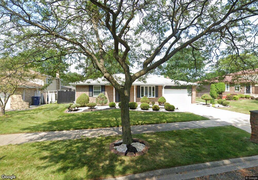
632 Quail Run Rd Matteson, IL 60443
West Matteson NeighborhoodEstimated Value: $238,305 - $289,000
3
Beds
3
Baths
1,448
Sq Ft
$180/Sq Ft
Est. Value
About This Home
This home is located at 632 Quail Run Rd, Matteson, IL 60443 and is currently estimated at $260,076, approximately $179 per square foot. 632 Quail Run Rd is a home located in Cook County with nearby schools including Colin Powell Middle School.
Ownership History
Date
Name
Owned For
Owner Type
Purchase Details
Closed on
Jul 29, 2008
Sold by
Mills James A and Mills Estella L
Bought by
Mills James A and Mills Estella L
Current Estimated Value
Home Financials for this Owner
Home Financials are based on the most recent Mortgage that was taken out on this home.
Original Mortgage
$140,346
Interest Rate
6.57%
Mortgage Type
New Conventional
Purchase Details
Closed on
Jun 20, 2000
Sold by
Mills James A and Mills Estella L
Bought by
Mills James A and Mills Estelle L
Create a Home Valuation Report for This Property
The Home Valuation Report is an in-depth analysis detailing your home's value as well as a comparison with similar homes in the area
Home Values in the Area
Average Home Value in this Area
Purchase History
| Date | Buyer | Sale Price | Title Company |
|---|---|---|---|
| Mills James A | -- | None Available | |
| Mills James A | -- | -- |
Source: Public Records
Mortgage History
| Date | Status | Borrower | Loan Amount |
|---|---|---|---|
| Closed | Mills James A | $140,346 |
Source: Public Records
Tax History
| Year | Tax Paid | Tax Assessment Tax Assessment Total Assessment is a certain percentage of the fair market value that is determined by local assessors to be the total taxable value of land and additions on the property. | Land | Improvement |
|---|---|---|---|---|
| 2025 | $5,579 | $19,428 | $3,542 | $15,886 |
| 2024 | $5,579 | $19,428 | $3,542 | $15,886 |
| 2023 | $2,363 | $19,428 | $3,542 | $15,886 |
| 2022 | $2,363 | $10,570 | $3,099 | $7,471 |
| 2021 | $4,104 | $13,588 | $3,098 | $10,490 |
| 2020 | $4,180 | $13,588 | $3,098 | $10,490 |
| 2019 | $3,495 | $12,570 | $2,877 | $9,693 |
| 2018 | $3,439 | $12,570 | $2,877 | $9,693 |
| 2017 | $3,400 | $12,570 | $2,877 | $9,693 |
| 2016 | $3,584 | $11,206 | $2,656 | $8,550 |
| 2015 | $3,409 | $11,206 | $2,656 | $8,550 |
| 2014 | $3,363 | $11,206 | $2,656 | $8,550 |
| 2013 | $4,987 | $13,469 | $2,656 | $10,813 |
Source: Public Records
Map
Nearby Homes
- 6158 White Birch Ln
- 6125 Sunflower Dr
- 6306 Beaver Dam Rd
- 6200 Marsh Ln
- 6226 Beechwood Rd
- 6037 Spring Ln
- 433 Wheatfield Rd
- 6021 Spring Ln
- 443 Danielle Rd
- 749 Old Farm Rd
- 6216 Pond View Dr
- 152 Oakhurst Rd
- 5804 Kathryn Ln
- 123 Oriole Rd
- 5808 Allemong Dr
- 42 Pheasant Rd
- 156 Cloverleaf Rd
- 34 Wedgewood Rd
- 25 Pheasant Rd
- 5631 Colgate Ln
- 640 Quail Run Rd
- 624 Quail Run Rd
- 633 Wolf Rd
- 641 Wolf Rd
- 648 Quail Run Rd
- 625 Wolf Rd
- 633 Quail Run Rd
- 6213 Beaver Dam Rd
- 6213 Beaver Dam Rd Unit SI ID1285022P
- 647 Wolf Rd
- 623 Quail Run Rd
- 623 Quail Run Rd Unit SI ID1285027P
- 641 Quail Run Rd
- 656 Quail Run Rd
- 647 Quail Run Rd
- 6221 Beaver Dam Rd
- 617 Quail Run Rd
- 657 Wolf Rd
- 6229 Beaver Dam Rd
Your Personal Tour Guide
Ask me questions while you tour the home.