632 Ridge Rd NE Elysian, MN 56028
Estimated Value: $269,000 - $389,000
3
Beds
2
Baths
1,288
Sq Ft
$245/Sq Ft
Est. Value
About This Home
This home is located at 632 Ridge Rd NE, Elysian, MN 56028 and is currently estimated at $315,305, approximately $244 per square foot. 632 Ridge Rd NE is a home located in Le Sueur County with nearby schools including Waterville Elementary School, Morristown Elementary School, and Waterville-Elysian-Morristown Junior High School.
Ownership History
Date
Name
Owned For
Owner Type
Purchase Details
Closed on
Mar 19, 2019
Sold by
Oswald Matthew
Bought by
Taylor Betty J Est
Current Estimated Value
Purchase Details
Closed on
Dec 17, 2018
Sold by
Taylor Betty J Est
Bought by
Wesley Ryan J
Home Financials for this Owner
Home Financials are based on the most recent Mortgage that was taken out on this home.
Original Mortgage
$147,200
Interest Rate
4.9%
Mortgage Type
New Conventional
Purchase Details
Closed on
Apr 6, 2012
Sold by
Taylor Earle and Taylor Betty
Bought by
Oswald Matthew
Create a Home Valuation Report for This Property
The Home Valuation Report is an in-depth analysis detailing your home's value as well as a comparison with similar homes in the area
Home Values in the Area
Average Home Value in this Area
Purchase History
| Date | Buyer | Sale Price | Title Company |
|---|---|---|---|
| Taylor Betty J Est | -- | -- | |
| Wesley Ryan J | $92,000 | -- | |
| Wesley Ryan J | $92,000 | Maschka, Riedy, Ries & Frent | |
| Oswald Matthew | -- | -- |
Source: Public Records
Mortgage History
| Date | Status | Borrower | Loan Amount |
|---|---|---|---|
| Previous Owner | Wesley Ryan J | $147,200 |
Source: Public Records
Tax History Compared to Growth
Tax History
| Year | Tax Paid | Tax Assessment Tax Assessment Total Assessment is a certain percentage of the fair market value that is determined by local assessors to be the total taxable value of land and additions on the property. | Land | Improvement |
|---|---|---|---|---|
| 2025 | $2,956 | $242,600 | $85,000 | $157,600 |
| 2024 | $2,870 | $234,300 | $85,000 | $149,300 |
| 2023 | $2,898 | $228,700 | $85,000 | $143,700 |
| 2022 | $2,798 | $226,400 | $85,000 | $141,400 |
| 2021 | $2,754 | $191,500 | $85,000 | $106,500 |
| 2020 | $2,766 | $183,700 | $82,000 | $101,700 |
| 2019 | $2,854 | $163,700 | $73,072 | $90,628 |
| 2018 | $2,839 | $163,700 | $73,072 | $90,628 |
| 2017 | $2,227 | $144,400 | $71,073 | $73,327 |
| 2016 | $2,324 | $142,400 | $70,854 | $71,546 |
| 2015 | $2,309 | $150,700 | $71,679 | $79,021 |
| 2014 | $2,117 | $155,000 | $72,052 | $82,948 |
| 2013 | $2,078 | $146,400 | $71,245 | $75,155 |
Source: Public Records
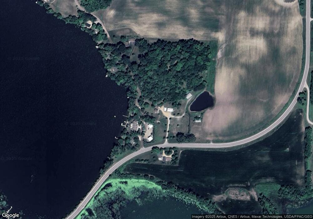
Map
Nearby Homes
- 4 Egret Ln
- -XX Jason Dr
- xx Lewis Ln
- xxxxxx Lewis Ln
- 0 Xx Lewis Ln Unit 7025397
- 0 Xx Lewis Ln Unit 7025381
- 49279 Sportsmans Ln
- 49189 Sportsmans Ln
- 3271 425th Ave
- 20232 Tetonka Lake Rd
- 921 Lillian St
- 810 N Shore Dr
- 902 Marion St
- 47096 Maple Leaf Ln
- 102 Buchannon St S
- 114 Reed St S
- 617 1st St N
- 705 1st St N
- 130 1st St N
- 212 2nd St S
- 632 632 Ridge Rd
- 1343 Scenic Hideaway Ln NE
- 1343 Scenic Hideaway Ln NE
- 1250 Scenic Hideaway Ln NE
- 1272 Scenic Hideaway Ln
- 1238 Scenic Hideaway Ln NE
- 1234 Scenic Hideaway Ln
- 629 Ridge Rd NE
- 629 Ridge Rd NE
- 1220 Scenic Hideaway Ln NE
- 1220 Scenic Hideaway Ln
- 1344 Scenic Hideaway Ln NE
- 1344 Scenic Hideaway Ln
- 1362 Scenic Hideaway Ln
- 001 Scenic Hideaway Ln
- XXX Scenic Hideaway Ln NE
- 1488 Scenic Hideaway Ln NE
- 1488 Scenic Hideaway Ln
- 1508 Scenic Hideaway Ln
- 1536 Scenic Hideaway Ln