Estimated Value: $497,185 - $856,000
4
Beds
4
Baths
2,382
Sq Ft
$277/Sq Ft
Est. Value
About This Home
This home is located at 632 Sand Pit Rd, Mason, NH 03048 and is currently estimated at $660,296, approximately $277 per square foot. 632 Sand Pit Rd is a home.
Ownership History
Date
Name
Owned For
Owner Type
Purchase Details
Closed on
Feb 26, 1996
Sold by
Hyde George F and Hyde Katherine
Bought by
Scott Darrell J and Scott Michelle I
Current Estimated Value
Home Financials for this Owner
Home Financials are based on the most recent Mortgage that was taken out on this home.
Original Mortgage
$50,000
Outstanding Balance
$1,963
Interest Rate
7.04%
Estimated Equity
$658,333
Create a Home Valuation Report for This Property
The Home Valuation Report is an in-depth analysis detailing your home's value as well as a comparison with similar homes in the area
Home Values in the Area
Average Home Value in this Area
Purchase History
| Date | Buyer | Sale Price | Title Company |
|---|---|---|---|
| Scott Darrell J | $128,400 | -- |
Source: Public Records
Mortgage History
| Date | Status | Borrower | Loan Amount |
|---|---|---|---|
| Open | Scott Darrell J | $50,000 |
Source: Public Records
Tax History Compared to Growth
Tax History
| Year | Tax Paid | Tax Assessment Tax Assessment Total Assessment is a certain percentage of the fair market value that is determined by local assessors to be the total taxable value of land and additions on the property. | Land | Improvement |
|---|---|---|---|---|
| 2024 | $7,320 | $286,500 | $105,800 | $180,700 |
| 2023 | $6,634 | $279,700 | $105,800 | $173,900 |
| 2022 | $5,548 | $272,900 | $105,800 | $167,100 |
| 2021 | $5,381 | $271,200 | $105,800 | $165,400 |
| 2020 | $6,231 | $230,700 | $85,900 | $144,800 |
| 2019 | $6,054 | $230,700 | $85,900 | $144,800 |
| 2018 | $5,673 | $225,300 | $85,900 | $139,400 |
| 2017 | $5,656 | $224,900 | $85,900 | $139,000 |
| 2016 | $5,670 | $224,900 | $85,900 | $139,000 |
| 2015 | $6,173 | $259,600 | $78,300 | $181,300 |
| 2014 | $6,181 | $259,600 | $78,300 | $181,300 |
| 2013 | $6,464 | $259,600 | $78,300 | $181,300 |
Source: Public Records
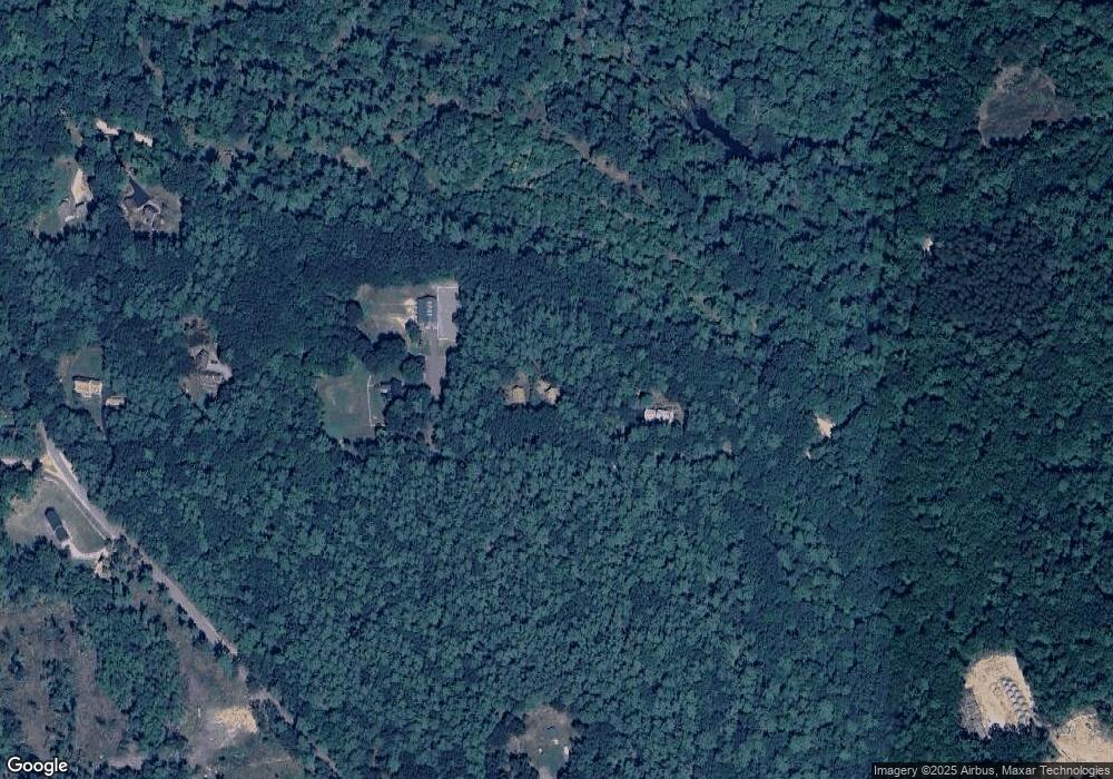
Map
Nearby Homes
- 38 Countryside Dr
- 104 N Mason Rd
- 3 Ben Farnsworth Rd
- 26 Ben Farnsworth Rd
- 75 Merriam Hill Rd
- 28 N Mason Rd
- 5 Ames Rd
- 988 Greenville Rd
- 131 Badger Hill Dr
- 30 Holden Ln
- 119 Boynton Hill Rd
- 81 Badger Hill Dr
- 126 Boynton Hill Rd
- 49 Adams Ave
- 3 Bartons Ridge Rd
- 87 Laurel Dr
- 39 Old Ashby Rd
- 68 Old Hillcrest Dr
- 55 Bartons Ridge Rd
- 36 Mill St
- 660 Sand Pit Rd
- 594 Sand Pit Rd
- 528 Sand Pit Rd
- 215 Starch Mill Rd
- 59 Black Brook Rd
- 506 Sand Pit Rd
- 236 Starch Mill Rd
- 482 Sand Pit Rd
- 0 Old County & Starch Mill Unit 72682086
- 491 Starch Mill Rd
- 450 Sand Pit Rd
- 388 Black Brook Rd
- 472 Old County Rd
- 439 Sand Pit Rd
- 509 Old County Rd
- 651 Old County Rd
- 423 Sand Pit Rd
- 543 Starch Mill Rd
- 418 Sand Pit Rd
- 469 Old County Rd