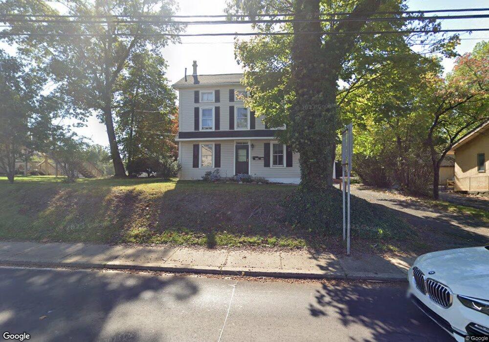
632 Street Rd Southampton, PA 18966
Estimated Value: $485,000 - $580,000
4
Beds
3
Baths
1,680
Sq Ft
$318/Sq Ft
Est. Value
About This Home
This home is located at 632 Street Rd, Southampton, PA 18966 and is currently estimated at $534,531, approximately $318 per square foot. 632 Street Rd is a home located in Bucks County with nearby schools including Davis Elementary School, Klinger Middle School, and William Tennent High School.
Ownership History
Date
Name
Owned For
Owner Type
Purchase Details
Closed on
Jun 26, 1996
Sold by
Emilius Carl A and Emilius Bonnie
Bought by
Emilius Carl A and Emilius Bonnie
Current Estimated Value
Home Financials for this Owner
Home Financials are based on the most recent Mortgage that was taken out on this home.
Original Mortgage
$74,000
Interest Rate
7.77%
Purchase Details
Closed on
May 24, 1985
Bought by
Emilius Carl A
Create a Home Valuation Report for This Property
The Home Valuation Report is an in-depth analysis detailing your home's value as well as a comparison with similar homes in the area
Home Values in the Area
Average Home Value in this Area
Purchase History
| Date | Buyer | Sale Price | Title Company |
|---|---|---|---|
| Emilius Carl A | -- | -- | |
| Emilius Carl A | $85,000 | -- |
Source: Public Records
Mortgage History
| Date | Status | Borrower | Loan Amount |
|---|---|---|---|
| Closed | Emilius Carl A | $74,000 |
Source: Public Records
Tax History Compared to Growth
Tax History
| Year | Tax Paid | Tax Assessment Tax Assessment Total Assessment is a certain percentage of the fair market value that is determined by local assessors to be the total taxable value of land and additions on the property. | Land | Improvement |
|---|---|---|---|---|
| 2025 | $6,844 | $32,000 | $18,400 | $13,600 |
| 2024 | $6,844 | $32,000 | $18,400 | $13,600 |
| 2023 | $6,636 | $32,000 | $18,400 | $13,600 |
| 2022 | $6,497 | $32,000 | $18,400 | $13,600 |
| 2021 | $6,379 | $32,000 | $18,400 | $13,600 |
| 2020 | $6,291 | $32,000 | $18,400 | $13,600 |
| 2019 | $6,059 | $32,000 | $18,400 | $13,600 |
| 2018 | $5,920 | $32,000 | $18,400 | $13,600 |
| 2017 | $5,753 | $32,000 | $18,400 | $13,600 |
| 2016 | $5,753 | $32,000 | $18,400 | $13,600 |
| 2015 | -- | $32,000 | $18,400 | $13,600 |
| 2014 | -- | $32,000 | $18,400 | $13,600 |
Source: Public Records
Map
Nearby Homes
- 615 Belmont Ave
- 19 Belmont Station
- 206 E Hampton Crossing
- 909 Carlin Dr
- 561 Zinn Dr
- 926 Carlin Dr
- 736 Plum St
- 634 Nicole Dr
- 756 Churchville Rd
- 1307 Steamboat Station Unit 1307
- 415 New Rd
- 419 Temple Rd
- 435 Temple Rd
- 603 Steamboat Station Unit 603
- 604 Cushmore Rd
- 1081 Cherry Ln
- 967 Jeffrey Dr
- 530 Andrew Dr
- 325 Toll Dr
- 117 Maple Ave
- 626 Street Rd Unit LOWER
- 626 Street Rd
- 642 Street Rd Unit 1ST FL
- 618 Street Rd
- 633 Hampton Ave
- 619 Hampton Ave
- 647 Hampton Ave
- 707 Grove Ave
- 649 Hampton Ave
- 627 Hampton Ave
- 621 Street Rd Unit 1ST FL
- 621 Street Rd
- 621 Street Rd Unit 1ST FLOOR (SUITE 2)
- 621 Street Rd Unit SUITE 2
- 613 Hampton Ave
- 634 Hampton Ave
- 603 Hampton Ave
- 640 Hampton Ave
- 657 Hampton Ave
- 646 Hampton Ave