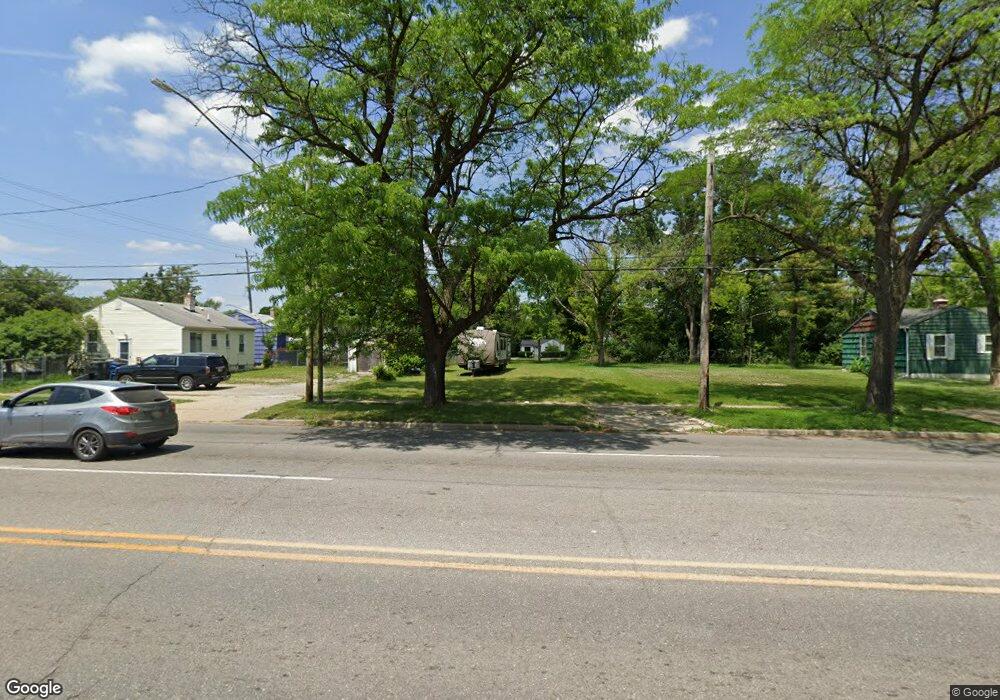
632 W Pierson Rd Flint, MI 48505
MLK Circle NeighborhoodEstimated Value: $52,000 - $157,000
2
Beds
1
Bath
705
Sq Ft
$148/Sq Ft
Est. Value
About This Home
This home is located at 632 W Pierson Rd, Flint, MI 48505 and is currently estimated at $104,500, approximately $148 per square foot. 632 W Pierson Rd is a home located in Genesee County with nearby schools including Brownell STEM Academy, The New Standard Academy, and Eagle's Nest Academy.
Ownership History
Date
Name
Owned For
Owner Type
Purchase Details
Closed on
Apr 10, 2023
Sold by
Genesee County Land Bank Authority
Bought by
Gordon-Wallace Deborah
Current Estimated Value
Purchase Details
Closed on
Dec 17, 2015
Sold by
Genesee County
Bought by
Genesee County Land Bank
Purchase Details
Closed on
Dec 18, 2014
Sold by
Scandrick Antionette and Coutee Brenda
Bought by
Spearman Simona
Purchase Details
Closed on
Oct 10, 2013
Sold by
Scandric Antoniette
Bought by
Coutee Brenda
Purchase Details
Closed on
Mar 30, 2007
Sold by
Green Angel
Bought by
Thomas Jim
Purchase Details
Closed on
Mar 23, 2007
Sold by
Thomas Jim
Bought by
Scandrick Antoinette A
Create a Home Valuation Report for This Property
The Home Valuation Report is an in-depth analysis detailing your home's value as well as a comparison with similar homes in the area
Home Values in the Area
Average Home Value in this Area
Purchase History
| Date | Buyer | Sale Price | Title Company |
|---|---|---|---|
| Gordon-Wallace Deborah | -- | None Listed On Document | |
| Genesee County Land Bank | -- | None Available | |
| Spearman Simona | $200 | None Available | |
| Coutee Brenda | -- | None Available | |
| Thomas Jim | -- | None Available | |
| Scandrick Antoinette A | -- | None Available |
Source: Public Records
Tax History Compared to Growth
Tax History
| Year | Tax Paid | Tax Assessment Tax Assessment Total Assessment is a certain percentage of the fair market value that is determined by local assessors to be the total taxable value of land and additions on the property. | Land | Improvement |
|---|---|---|---|---|
| 2025 | $227 | $2,600 | $0 | $0 |
| 2024 | $211 | $2,300 | $0 | $0 |
| 2023 | $72 | $0 | $0 | $0 |
| 2022 | $0 | $0 | $0 | $0 |
| 2021 | $0 | $0 | $0 | $0 |
| 2020 | $0 | $0 | $0 | $0 |
| 2019 | $0 | $0 | $0 | $0 |
| 2018 | $0 | $0 | $0 | $0 |
| 2017 | $2,070 | $0 | $0 | $0 |
| 2016 | $0 | $0 | $0 | $0 |
| 2015 | -- | $0 | $0 | $0 |
| 2014 | -- | $0 | $0 | $0 |
| 2012 | -- | $8,900 | $0 | $0 |
Source: Public Records
Map
Nearby Homes
- 5210 Dupont St
- 525 W Pulaski Ave
- 506 W Marengo Ave
- 4808 Edwards Ave
- 5610 Baldwin Blvd
- 5714 Suburban Ct
- 325 W Marengo Ave
- 5302 Susan St
- 329 W Baltimore Blvd
- 4515 Baldwin Blvd
- 702/718 W Flint Park Blvd
- 306 W Bishop Ave
- 536 W Home Ave
- 606 W Stewart Ave
- 124 W Flint Park Blvd
- 5413 Fleming Rd
- 618 W Austin Ave
- 610 W Austin Ave
- 1720 Marlowe Dr
- 4702 Warrington Dr
- 628 W Pierson Rd
- 5206 Dupont St
- 5202 Dupont St
- 624 W Pierson Rd
- 5214 Dupont St
- 625 W Ridgeway Ave
- 629 W Ridgeway Ave
- 621 W Ridgeway Ave
- 620 W Pierson Rd
- 5218 Dupont St
- 617 W Ridgeway Ave
- 616 W Pierson Rd
- 637 W Pierson Rd
- 633 W Pierson Rd
- 613 W Ridgeway Ave
- 702 W Pierson Rd
- 629 W Pierson Rd
- 612 W Pierson Rd
- 701 W Ridgeway Ave Unit Bldg-Unit
- 701 W Ridgeway Ave