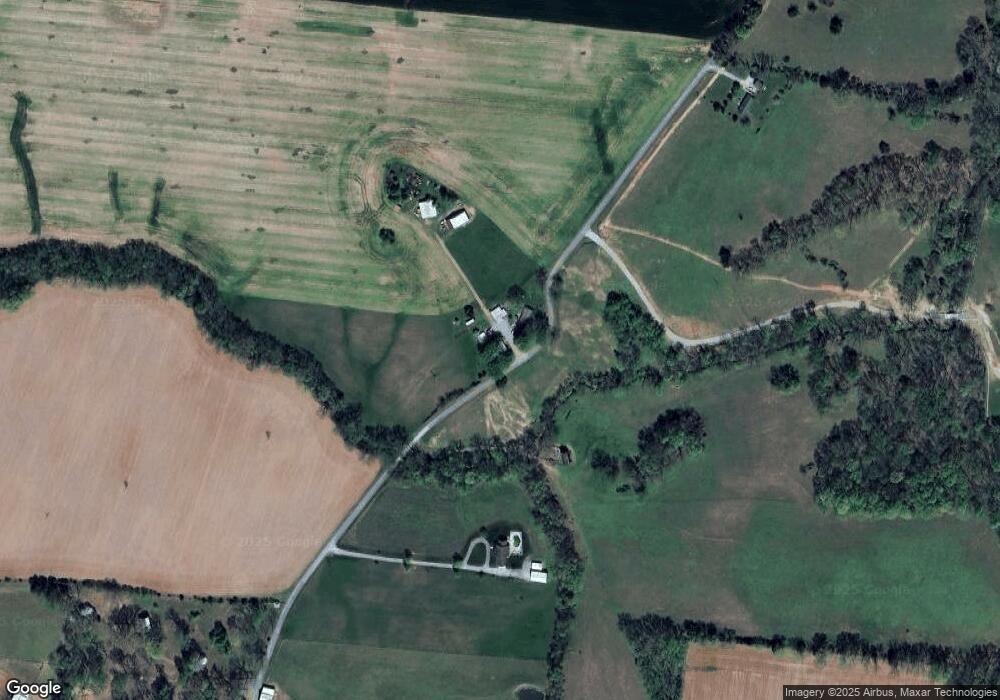
6320 Lawrence Rd Orlinda, TN 37141
Estimated Value: $526,000 - $893,741
--
Bed
2
Baths
1,782
Sq Ft
$398/Sq Ft
Est. Value
About This Home
This home is located at 6320 Lawrence Rd, Orlinda, TN 37141 and is currently estimated at $709,871, approximately $398 per square foot. 6320 Lawrence Rd is a home located in Robertson County with nearby schools including East Robertson Elementary School and East Robertson High School.
Ownership History
Date
Name
Owned For
Owner Type
Purchase Details
Closed on
Oct 15, 2021
Sold by
Lowhorn Edna M and Lowhorn Edna M
Bought by
Lowhorn Daniel and Lowhorn Andrea
Current Estimated Value
Purchase Details
Closed on
Jan 22, 2004
Sold by
Lowhorn Edna M Revocable L
Bought by
Livin Lowhorn Edna M Revocable
Purchase Details
Closed on
Jun 30, 1997
Sold by
Hayes Lowhorn Floyd
Bought by
Edna M Lowhorn Revocable
Purchase Details
Closed on
Dec 22, 1978
Bought by
Lowhorn Floyd Hayes and Edna Marie
Create a Home Valuation Report for This Property
The Home Valuation Report is an in-depth analysis detailing your home's value as well as a comparison with similar homes in the area
Home Values in the Area
Average Home Value in this Area
Purchase History
| Date | Buyer | Sale Price | Title Company |
|---|---|---|---|
| Lowhorn Daniel | -- | Accommodation | |
| Livin Lowhorn Edna M Revocable | -- | -- | |
| Edna M Lowhorn Revocable | -- | -- | |
| Lowhorn Floyd Hayes | -- | -- |
Source: Public Records
Tax History Compared to Growth
Tax History
| Year | Tax Paid | Tax Assessment Tax Assessment Total Assessment is a certain percentage of the fair market value that is determined by local assessors to be the total taxable value of land and additions on the property. | Land | Improvement |
|---|---|---|---|---|
| 2024 | $2,050 | $113,875 | $70,400 | $43,475 |
| 2023 | $2,050 | $113,875 | $70,400 | $43,475 |
| 2022 | $2,038 | $79,100 | $50,575 | $28,525 |
| 2021 | $2,146 | $83,325 | $54,800 | $28,525 |
| 2020 | $2,146 | $83,325 | $54,800 | $28,525 |
| 2019 | $2,146 | $83,325 | $54,800 | $28,525 |
| 2018 | $2,146 | $83,325 | $54,800 | $28,525 |
| 2017 | $2,011 | $65,175 | $44,225 | $20,950 |
| 2016 | $2,011 | $65,175 | $44,225 | $20,950 |
| 2015 | $1,929 | $65,175 | $44,225 | $20,950 |
| 2014 | $1,929 | $65,175 | $44,225 | $20,950 |
Source: Public Records
Map
Nearby Homes
- 6185 Price Rd
- 0 N Pitt Rd
- 2409 Pepper Rd
- 6160 Underwood Rd
- 6931 Cowan Rd
- 8302 Springfield Rd
- 29490 Highway 49 E
- 6056 S Lamont Rd
- 000 Adairville Rd
- 6917 N Pearson Rd
- 6348 S Lamont Rd
- 6336 S Lamont Rd
- 5219 Adairville Rd
- 5444 E Robertson Rd
- 0 Red River School Rd Unit RTC3003481
- 0 Red River School Rd Unit RTC2922826
- 29640 Highway 49 E
- 0 State Route 52
- 6016 Highland Rd
- 0 Hulsey Rd
- 6279 Lawrence Rd
- 6367 Lawrence Rd
- 6248 Lawrence Rd
- 6214 Lawrence Rd
- Lot 1 Pepper Rd
- 0 Pepper Rd
- 1524 Pepper Rd
- 1024 Pepper Rd
- 7521 Pepper Rd
- 7754 Bethany Church Rd
- 1695 Pepper Rd
- 9914 Highway 49 E
- 7199 N Pitt Rd
- 0 Bethany Church Rd
- 7671 Pepper Rd
- 7734 Bethany Church Rd
- 7697 Bethany Church Rd
- 6203 Price Rd
- 7235 Bethany Church Rd
- 2769 Pepper Rd
