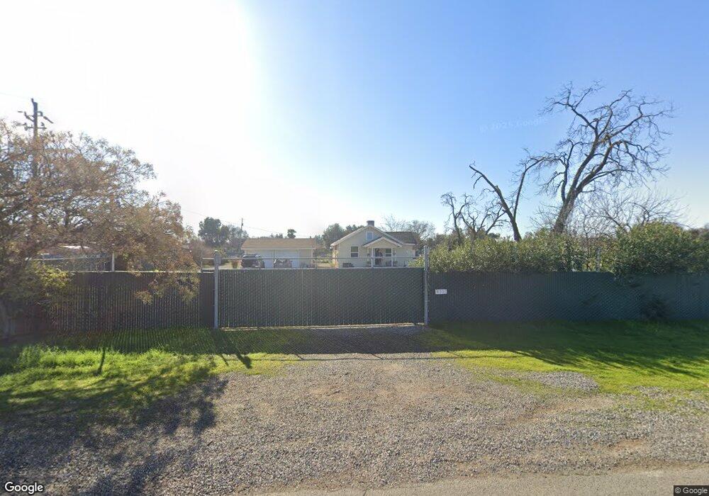
6321 W Clinton Ave Fresno, CA 93723
Estimated Value: $361,000 - $486,000
3
Beds
2
Baths
1,189
Sq Ft
$341/Sq Ft
Est. Value
About This Home
This home is located at 6321 W Clinton Ave, Fresno, CA 93723 and is currently estimated at $405,273, approximately $340 per square foot. 6321 W Clinton Ave is a home located in Fresno County with nearby schools including Roosevelt Elementary School and Glacier Point Middle School.
Ownership History
Date
Name
Owned For
Owner Type
Purchase Details
Closed on
Nov 8, 2017
Sold by
Beckman Carissa Aimee Shera
Bought by
Beckman Carl L
Current Estimated Value
Purchase Details
Closed on
Jan 22, 2015
Sold by
Saavedra Carlos L and Saavedra Leocadia G
Bought by
Beckman Carl L and Beckman Carissa Aimee Shera
Home Financials for this Owner
Home Financials are based on the most recent Mortgage that was taken out on this home.
Original Mortgage
$151,200
Interest Rate
3.75%
Mortgage Type
New Conventional
Create a Home Valuation Report for This Property
The Home Valuation Report is an in-depth analysis detailing your home's value as well as a comparison with similar homes in the area
Home Values in the Area
Average Home Value in this Area
Purchase History
| Date | Buyer | Sale Price | Title Company |
|---|---|---|---|
| Beckman Carl L | -- | None Available | |
| Beckman Carl L | $189,000 | Chicago Title Company |
Source: Public Records
Mortgage History
| Date | Status | Borrower | Loan Amount |
|---|---|---|---|
| Previous Owner | Beckman Carl L | $151,200 |
Source: Public Records
Tax History Compared to Growth
Tax History
| Year | Tax Paid | Tax Assessment Tax Assessment Total Assessment is a certain percentage of the fair market value that is determined by local assessors to be the total taxable value of land and additions on the property. | Land | Improvement |
|---|---|---|---|---|
| 2025 | $2,927 | $227,138 | $102,151 | $124,987 |
| 2023 | $2,845 | $218,321 | $98,186 | $120,135 |
| 2022 | $2,638 | $214,041 | $96,261 | $117,780 |
| 2021 | $2,657 | $209,845 | $94,374 | $115,471 |
| 2020 | $2,525 | $207,694 | $93,407 | $114,287 |
| 2019 | $2,486 | $203,623 | $91,576 | $112,047 |
| 2018 | $2,428 | $199,631 | $89,781 | $109,850 |
| 2017 | $2,436 | $195,718 | $88,021 | $107,697 |
| 2016 | $2,236 | $191,882 | $86,296 | $105,586 |
| 2015 | $479 | $35,498 | $9,957 | $25,541 |
| 2014 | $477 | $34,803 | $9,762 | $25,041 |
Source: Public Records
Map
Nearby Homes
- 17 Acre Lot McKinley & Hayes
- 2590 N Grantland Ave
- 2210 N Grantland Ave
- 5866 W Shields Ave
- 5585 W Cotton Ave
- 3377 N Bryan Ave
- 5871 W Fedora Ave
- 3329 N Gregory Ave
- Barcelona Plan at Fanucchi Ranch - Valencia Series
- Kallos Plan at Fanucchi Ranch - Calligraphy Series
- Quill Plan at Fanucchi Ranch - Calligraphy Series
- Lyra Plan at Fanucchi Ranch - Celestial Series
- Venus Plan at Fanucchi Ranch - Celestial Series
- Palma Plan at Fanucchi Ranch - Valencia Series
- Papyrus Plan at Fanucchi Ranch - Calligraphy Series
- Malaga Plan at Fanucchi Ranch - Valencia Series
- Draco Plan at Fanucchi Ranch - Celestial Series
- 6123 W Lansing Way
- 6107 W Lansing Way
- 6091 W Lansing Way
- 6269 W Clinton Ave
- 2411 N Ring Ave
- 6379 W Clinton Ave
- 6233 W Clinton Ave
- 6397 W Clinton Ave
- 2382 N Ring Ave
- 2347 N Ring Ave
- 6201 W Clinton Ave
- 6421 W Clinton Ave
- 2344 N Ring Ave
- 2386 N Bryan Ave
- 6186 W Clinton Ave
- 6463 W Clinton Ave
- 6191 W Clinton Ave
- 2420 N Bryan Ave
- 2329 N Ring Ave
- 2320 N Ring Ave
- 2384 N Bryan Ave
- 6521 W Clinton Ave
- 2336 N Bryan Ave