Estimated Value: $229,000 - $386,000
3
Beds
2
Baths
1,684
Sq Ft
$178/Sq Ft
Est. Value
About This Home
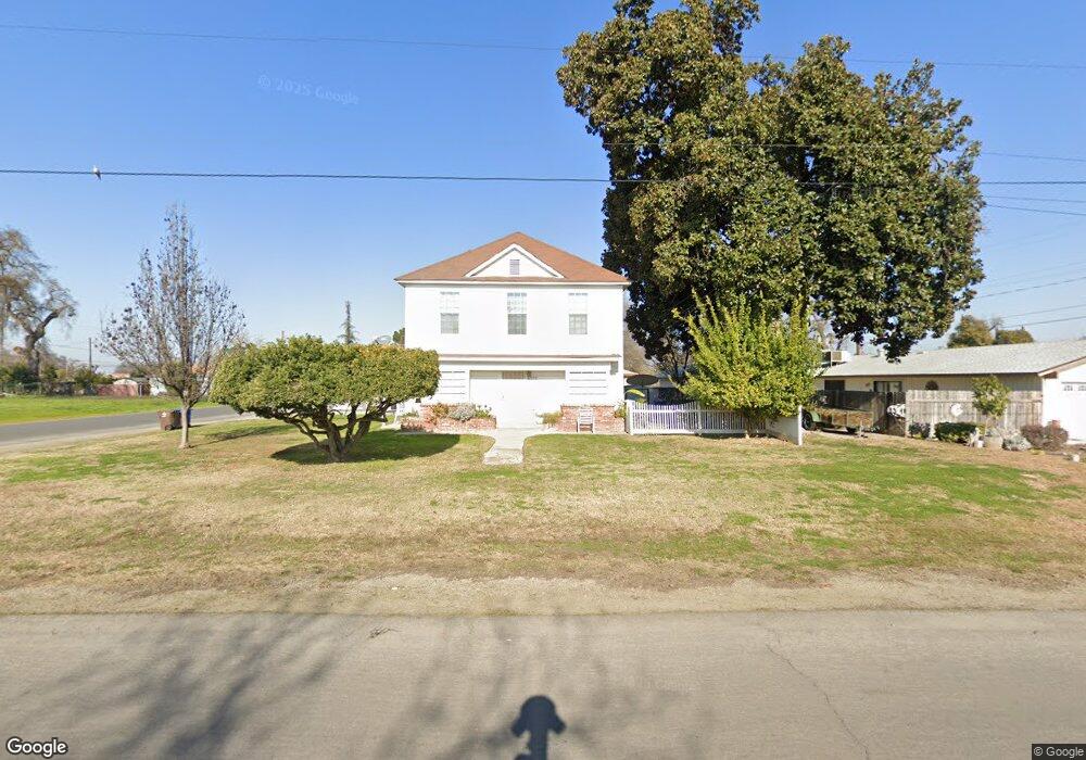
This home is located at 6322 E Murphy Ave, Laton, CA 93242 and is currently estimated at $299,760, approximately $178 per square foot. 6322 E Murphy Ave is a home with nearby schools including Laton Elementary School, Conejo Middle School, and Laton High School.
Ownership History
Date
Name
Owned For
Owner Type
Purchase Details
Closed on
Oct 16, 2014
Sold by
Stone Marvin Dean and Stone Lois Marie
Bought by
Stone Marvin Dean Stone and Stone Lois Marie
Current Estimated Value
Purchase Details
Closed on
Mar 6, 2002
Sold by
Stone Lois and The Virgil Brewster Living Tru
Bought by
Stone Marvin Dean and Stone Lois M
Home Financials for this Owner
Home Financials are based on the most recent Mortgage that was taken out on this home.
Original Mortgage
$67,500
Interest Rate
6.85%
Purchase Details
Closed on
Sep 13, 1994
Sold by
Brewster Virgil
Bought by
Brewster Virgil and Virgil Brewster Living Trust
Create a Home Valuation Report for This Property
The Home Valuation Report is an in-depth analysis detailing your home's value as well as a comparison with similar homes in the area
Purchase History
| Date | Buyer | Sale Price | Title Company |
|---|---|---|---|
| Stone Marvin Dean Stone | -- | None Available | |
| Stone Marvin Dean | $75,000 | Financial Title Company | |
| Brewster Virgil | -- | -- |
Source: Public Records
Mortgage History
| Date | Status | Borrower | Loan Amount |
|---|---|---|---|
| Closed | Stone Marvin Dean | $67,500 |
Source: Public Records
Tax History
| Year | Tax Paid | Tax Assessment Tax Assessment Total Assessment is a certain percentage of the fair market value that is determined by local assessors to be the total taxable value of land and additions on the property. | Land | Improvement |
|---|---|---|---|---|
| 2025 | $481 | $42,584 | $9,070 | $33,514 |
| 2023 | $445 | $40,932 | $8,719 | $32,213 |
| 2022 | $432 | $40,131 | $8,549 | $31,582 |
| 2021 | $424 | $39,345 | $8,382 | $30,963 |
| 2020 | $414 | $38,943 | $8,297 | $30,646 |
| 2019 | $412 | $38,181 | $8,135 | $30,046 |
| 2018 | $408 | $37,433 | $7,976 | $29,457 |
| 2017 | $376 | $36,700 | $7,820 | $28,880 |
| 2016 | $363 | $35,981 | $7,667 | $28,314 |
| 2015 | $357 | $35,441 | $7,552 | $27,889 |
| 2014 | $351 | $34,748 | $7,405 | $27,343 |
Source: Public Records
Map
Nearby Homes
- 20745 S Pio Pico Ave
- 5721 E Riverdale Ave
- 0 E Mount Whitney Ave
- 4603 12th Ave
- 21530 Tiburico Ave
- 13256 Elder Ave
- 0 Dover Ave
- 15400 Excelsior Ave
- 5954 13th Ave
- 19360 Maple Ave
- 8646 Cairo Ave
- 8552 Cairo Ave
- 5757 10th Ave
- 8651 Corona Ave
- 3262 Morning Dove Ln
- 6505 10th Ave
- 0 Elder Ave Unit 643716
- 0 Elder Ave Unit 26308518
- 3232 N Zion Cir
- 0 Flint Ave
- 6344 E Murphy Ave
- 20674 S Castro Ave
- 6366 E Murphy Ave
- 6366 Murphy Ave
- 20714 S Castro Ave
- 20715 S Castro Ave
- 20659 S Castro Ave
- 20630 S Castro Ave
- 6384 E Murphy Ave
- 6384 E Murphy St
- 6384 Murphy Ave
- 6375 Murphy Ave
- 20729 S Castro Ave
- 20744 S Castro Ave
- 20649 S Castro Ave
- 20758 S Castro Ave
- 20635 S Castro Ave
- 6331 E Tache Ave
- 6 Dewoody St
- 20745 S Castro Ave
Your Personal Tour Guide
Ask me questions while you tour the home.