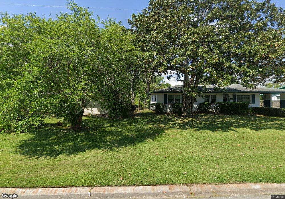
6325 Graves St Jacksonville, FL 32210
Cedar Hills NeighborhoodEstimated Value: $227,000 - $298,000
3
Beds
2
Baths
2,288
Sq Ft
$114/Sq Ft
Est. Value
About This Home
This home is located at 6325 Graves St, Jacksonville, FL 32210 and is currently estimated at $260,712, approximately $113 per square foot. 6325 Graves St is a home located in Duval County with nearby schools including Cedar Hills Elementary School, Westside Middle School, and Portola High School.
Ownership History
Date
Name
Owned For
Owner Type
Purchase Details
Closed on
Sep 14, 1998
Sold by
Mullen Carolyn H and Harvill Carolyn H
Bought by
Brown Robert Lee and Brown Mary Elizabeth
Current Estimated Value
Home Financials for this Owner
Home Financials are based on the most recent Mortgage that was taken out on this home.
Original Mortgage
$74,460
Outstanding Balance
$16,390
Interest Rate
7.25%
Mortgage Type
VA
Estimated Equity
$244,322
Create a Home Valuation Report for This Property
The Home Valuation Report is an in-depth analysis detailing your home's value as well as a comparison with similar homes in the area
Home Values in the Area
Average Home Value in this Area
Purchase History
| Date | Buyer | Sale Price | Title Company |
|---|---|---|---|
| Brown Robert Lee | $73,000 | -- |
Source: Public Records
Mortgage History
| Date | Status | Borrower | Loan Amount |
|---|---|---|---|
| Open | Brown Robert Lee | $74,460 |
Source: Public Records
Tax History Compared to Growth
Tax History
| Year | Tax Paid | Tax Assessment Tax Assessment Total Assessment is a certain percentage of the fair market value that is determined by local assessors to be the total taxable value of land and additions on the property. | Land | Improvement |
|---|---|---|---|---|
| 2025 | $1,099 | $93,440 | -- | -- |
| 2024 | $1,058 | $90,807 | -- | -- |
| 2023 | $1,058 | $88,163 | $0 | $0 |
| 2022 | $955 | $85,596 | $0 | $0 |
| 2021 | $936 | $83,103 | $0 | $0 |
| 2020 | $922 | $81,956 | $0 | $0 |
| 2019 | $904 | $80,114 | $0 | $0 |
| 2018 | $885 | $78,621 | $0 | $0 |
| 2017 | $866 | $77,004 | $0 | $0 |
| 2016 | $854 | $75,421 | $0 | $0 |
| 2015 | $847 | $72,945 | $0 | $0 |
| 2014 | $853 | $72,367 | $0 | $0 |
Source: Public Records
Map
Nearby Homes
- 6350 Harlow Blvd
- 6220 Graves St
- 6241 Autlan Dr
- 6216 Sudbury Ave S
- 6256 Sage Dr
- 6217 Sage Dr
- 3914 Cobalt Ave E
- 6309 Mercado Dr
- 4152 Arcot Cir
- 6116 Sudbury Ave S
- 6234 Alexon Dr
- 4444 Rainer Rd
- 3915 Rodby Dr
- 4115 Arcot Cir
- 3827 Colebrooke Dr
- 4014 Rendale Dr
- 4635 Arthur Durham Dr E
- 4034 Tyndale Dr
- 3955 Macgregor Dr
- 4109 Tyndale Dr
- 6331 Graves St
- 6317 Graves St
- 6326 Harlow Blvd
- 6318 Harlow Blvd
- 6334 Harlow Blvd
- 6339 Graves St
- 6309 Graves St
- 6340 Harlow Blvd
- 6318 Graves St
- 6336 Graves St
- 6303 Graves St
- 6349 Graves St
- 6310 Graves St
- 6302 Harlow Blvd
- 6325 Harlow Blvd
- 6317 Thumper St
- 6332 Thumper St
- 6302 Graves St
- 6243 Graves St
- 6317 Harlow Blvd