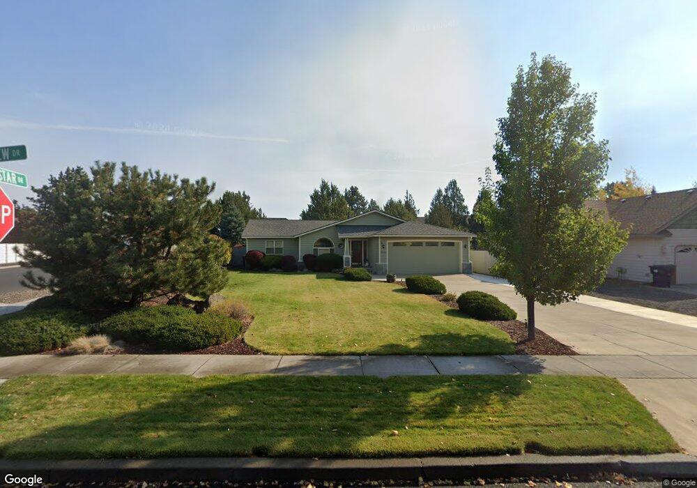
63250 Eastview Dr Bend, OR 97701
Boyd Acres NeighborhoodEstimated Value: $686,416 - $765,000
3
Beds
2
Baths
1,895
Sq Ft
$377/Sq Ft
Est. Value
About This Home
This home is located at 63250 Eastview Dr, Bend, OR 97701 and is currently estimated at $715,354, approximately $377 per square foot. 63250 Eastview Dr is a home located in Deschutes County with nearby schools including Lava Ridge Elementary School, Sky View Middle School, and Mountain View Senior High School.
Ownership History
Date
Name
Owned For
Owner Type
Purchase Details
Closed on
Aug 12, 2011
Sold by
Hudson Richard R
Bought by
Ward Michael D and Ward Yvonne G
Current Estimated Value
Home Financials for this Owner
Home Financials are based on the most recent Mortgage that was taken out on this home.
Original Mortgage
$100,000
Outstanding Balance
$68,862
Interest Rate
4.53%
Mortgage Type
New Conventional
Estimated Equity
$646,492
Create a Home Valuation Report for This Property
The Home Valuation Report is an in-depth analysis detailing your home's value as well as a comparison with similar homes in the area
Home Values in the Area
Average Home Value in this Area
Purchase History
| Date | Buyer | Sale Price | Title Company |
|---|---|---|---|
| Ward Michael D | $212,500 | Amerititle |
Source: Public Records
Mortgage History
| Date | Status | Borrower | Loan Amount |
|---|---|---|---|
| Open | Ward Michael D | $100,000 |
Source: Public Records
Tax History Compared to Growth
Tax History
| Year | Tax Paid | Tax Assessment Tax Assessment Total Assessment is a certain percentage of the fair market value that is determined by local assessors to be the total taxable value of land and additions on the property. | Land | Improvement |
|---|---|---|---|---|
| 2025 | $5,509 | $326,030 | -- | -- |
| 2024 | $5,300 | $316,540 | -- | -- |
| 2023 | $4,913 | $307,330 | $0 | $0 |
| 2022 | $4,584 | $289,690 | $0 | $0 |
| 2021 | $4,591 | $281,260 | $0 | $0 |
| 2020 | $4,355 | $281,260 | $0 | $0 |
| 2019 | $4,234 | $273,070 | $0 | $0 |
| 2018 | $4,115 | $265,120 | $0 | $0 |
| 2017 | $3,994 | $257,400 | $0 | $0 |
| 2016 | $3,809 | $249,910 | $0 | $0 |
| 2015 | $3,703 | $242,640 | $0 | $0 |
| 2014 | $3,594 | $235,580 | $0 | $0 |
Source: Public Records
Map
Nearby Homes
- 63157 Watercress Way
- 21072 NE High Desert Ln
- 63326 NE Brightwater Dr
- 63103 Watercress Way
- 20751 Boulderfield Ave
- 21010 Yeoman Rd
- 20939 Blue Bush Ct
- 63091 Desert Sage St
- Avery Plan at Acadia Pointe
- Jade Plan at Acadia Pointe
- Hickory Plan at Acadia Pointe
- Larwood Plan at Acadia Pointe
- Magnolia Plan at Acadia Pointe
- Leverich Plan at Acadia Pointe
- Ashland Plan at Acadia Pointe
- Cypress Plan at Acadia Pointe
- 63190 Carly Ln
- 20676 Morningstar Dr
- 63150 Peale St
- 63210 Carly Ln
- 3374 NE 27th St Unit Lot 24
- 3374 NE 27th St
- 3382 NE 27th St
- 63244 Eastview Dr
- 63261 Stonewood Dr
- 63238 Eastview Dr
- 63267 Stonewood Dr
- 63258 Eastview Dr
- 63255 Stonewood Dr
- 63167 Eastview Dr
- 63185 Eastview Dr
- 63179 Eastview Dr
- 63173 Eastview Dr
- 63149 Eastview Dr
- 45 Eastview Dr
- 43 Eastview Dr
- 29 Eastview Dr
- 46 Eastview Dr
- 44 Eastview Dr
- 42 Eastview Dr