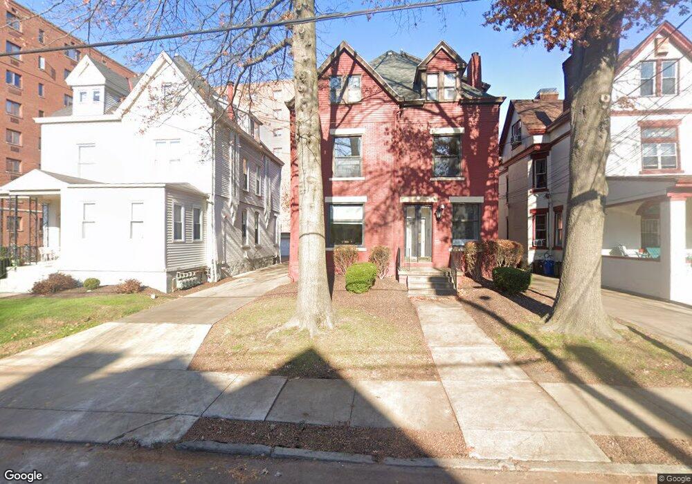
6327 Howe St Pittsburgh, PA 15206
Estimated Value: $626,000 - $792,870
8
Beds
4
Baths
3,999
Sq Ft
$181/Sq Ft
Est. Value
About This Home
This home is located at 6327 Howe St, Pittsburgh, PA 15206 and is currently estimated at $724,218, approximately $181 per square foot. 6327 Howe St is a home located in Allegheny County with nearby schools including Colfax K-8, Pittsburgh Allderdice High School, and The Ellis School.
Ownership History
Date
Name
Owned For
Owner Type
Purchase Details
Closed on
Apr 24, 2003
Sold by
Brourman Amy B
Bought by
Shadyside Properties Inc
Current Estimated Value
Purchase Details
Closed on
Dec 24, 2002
Sold by
Brourman Richard E and Brourman Amy B
Bought by
Brourman Amy B
Purchase Details
Closed on
Feb 19, 1996
Sold by
Brourman Richard E and Brourman Amy B
Bought by
Brourman Richard E and Brourman Amy B
Create a Home Valuation Report for This Property
The Home Valuation Report is an in-depth analysis detailing your home's value as well as a comparison with similar homes in the area
Home Values in the Area
Average Home Value in this Area
Purchase History
| Date | Buyer | Sale Price | Title Company |
|---|---|---|---|
| Shadyside Properties Inc | $306,664 | -- | |
| Brourman Amy B | -- | -- | |
| Brourman Richard E | -- | -- |
Source: Public Records
Tax History Compared to Growth
Tax History
| Year | Tax Paid | Tax Assessment Tax Assessment Total Assessment is a certain percentage of the fair market value that is determined by local assessors to be the total taxable value of land and additions on the property. | Land | Improvement |
|---|---|---|---|---|
| 2025 | $5,414 | $235,000 | $100,000 | $135,000 |
| 2024 | $5,414 | $235,000 | $100,000 | $135,000 |
| 2023 | $5,414 | $235,000 | $100,000 | $135,000 |
| 2022 | $5,344 | $235,000 | $100,000 | $135,000 |
| 2021 | $5,403 | $235,000 | $100,000 | $135,000 |
| 2020 | $5,318 | $235,000 | $100,000 | $135,000 |
| 2019 | $5,318 | $235,000 | $100,000 | $135,000 |
| 2018 | $4,265 | $235,000 | $100,000 | $135,000 |
| 2017 | $5,318 | $235,000 | $100,000 | $135,000 |
| 2016 | $1,112 | $235,000 | $100,000 | $135,000 |
| 2015 | $1,112 | $235,000 | $100,000 | $135,000 |
| 2014 | $5,201 | $235,000 | $100,000 | $135,000 |
Source: Public Records
Map
Nearby Homes
- 420 Denniston Ave
- 6324 Marchand St
- 332 Hailman St
- 465 Emerson St
- 6214 Kentucky Ave
- 418 Emerson St
- 100 Denniston Ave Unit 101
- 6014 Walnut St
- 100 Denniston St Unit 53
- 100 Denniston St Unit 40
- 6109 Fifth Ave Unit 2
- 372 S Highland Ave Unit 103
- 140 N Woodland Rd
- 138 N Woodland Rd
- 116 N Woodland Rd
- 5935 Fifth Ave
- 134 W Lyndhurst Dr
- 1 Parkton Place
- 347 Spahr St
- 675 College St Unit A
- 6331 Howe St
- 6323 Howe St
- 342 Denniston Ave
- 342 Denniston Ave Unit 2
- 342 Denniston St
- 342 Denniston St Unit 2
- 342 Denniston Ave Unit 1
- 340 Denniston Ave
- 334 Denniston Ave
- 6330 Howe St
- 6332 Howe St
- 6334 Howe St
- 6328 Howe St
- 6318 Howe St
- 401 Shady Ave
- 401 Shady Ave Unit B107
- 401 Shady Ave Unit B105
- 401 Shady Ave Unit C606
- 401 Shady Ave Unit B-803
- 401 Shady Ave Unit A-201