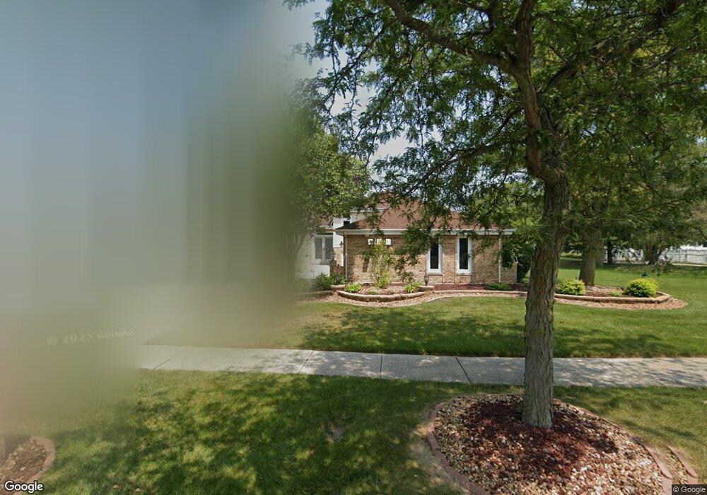
6328 Applehill Rd Matteson, IL 60443
West Matteson NeighborhoodEstimated Value: $326,327 - $346,000
4
Beds
3
Baths
2,064
Sq Ft
$164/Sq Ft
Est. Value
About This Home
This home is located at 6328 Applehill Rd, Matteson, IL 60443 and is currently estimated at $338,832, approximately $164 per square foot. 6328 Applehill Rd is a home located in Cook County with nearby schools including Colin Powell Middle School and Dr. Wolfe's Montessori School.
Ownership History
Date
Name
Owned For
Owner Type
Purchase Details
Closed on
Jan 8, 2008
Sold by
Thompson Lester L and Bracey Brenda J
Bought by
Thompson Lester L and Bracey Brenda J
Current Estimated Value
Purchase Details
Closed on
May 25, 2004
Sold by
Thompson Lester L and Bracey Brenda J
Bought by
Thompson Lester L and Bracey Brenda J
Home Financials for this Owner
Home Financials are based on the most recent Mortgage that was taken out on this home.
Original Mortgage
$172,000
Interest Rate
5.99%
Mortgage Type
New Conventional
Create a Home Valuation Report for This Property
The Home Valuation Report is an in-depth analysis detailing your home's value as well as a comparison with similar homes in the area
Home Values in the Area
Average Home Value in this Area
Purchase History
| Date | Buyer | Sale Price | Title Company |
|---|---|---|---|
| Thompson Lester L | -- | None Available | |
| Thompson Lester L | -- | Cti |
Source: Public Records
Mortgage History
| Date | Status | Borrower | Loan Amount |
|---|---|---|---|
| Closed | Thompson Lester L | $172,000 |
Source: Public Records
Tax History
| Year | Tax Paid | Tax Assessment Tax Assessment Total Assessment is a certain percentage of the fair market value that is determined by local assessors to be the total taxable value of land and additions on the property. | Land | Improvement |
|---|---|---|---|---|
| 2025 | $9,133 | $28,000 | $8,163 | $19,837 |
| 2024 | $9,133 | $28,000 | $8,163 | $19,837 |
| 2023 | $6,608 | $28,000 | $8,163 | $19,837 |
| 2022 | $6,608 | $18,501 | $7,050 | $11,451 |
| 2021 | $6,758 | $18,499 | $7,049 | $11,450 |
| 2020 | $6,744 | $18,499 | $7,049 | $11,450 |
| 2019 | $7,126 | $19,215 | $6,307 | $12,908 |
| 2018 | $8,496 | $19,215 | $6,307 | $12,908 |
| 2017 | $10,060 | $19,215 | $6,307 | $12,908 |
| 2016 | $9,839 | $19,013 | $5,565 | $13,448 |
| 2015 | $8,328 | $19,013 | $5,565 | $13,448 |
| 2014 | $8,129 | $19,013 | $5,565 | $13,448 |
| 2013 | $8,510 | $21,128 | $5,565 | $15,563 |
Source: Public Records
Map
Nearby Homes
- 6237 Michael Ln
- 72 White Oaks Rd
- 34 Wedgewood Rd
- 6128 Wedgewood Ct
- 41 Willow Rd
- 10 Wedgewood Rd
- 443 Danielle Rd
- 42 Pheasant Rd
- 6005 Woodgate Dr
- 124 Oriole Rd
- 5943 Woodgate Dr
- 123 Oriole Rd
- 25 Pheasant Rd
- 152 Oakhurst Rd
- 12 Iliad Dr
- 6306 Beaver Dam Rd
- 5911 Timberlane Rd
- 13 Oakview Rd
- 40 Huntingwood Rd
- 133 Deerpath Rd
- 6338 Applehill Rd
- 6348 Applehill Rd
- 122 Old Mill Rd
- 37 Denise Ct
- 6337 Applehill Rd
- 123 Old Mill Rd
- 41 Denise Ct
- 6347 Applehill Rd
- 6358 Applehill Rd
- 120 Red Barn Rd
- 33 Denise Ct
- 133 Old Mill Rd
- 45 Denise Ct
- 6357 Applehill Rd
- 6300 Michael Ln
- 6300 Michael Ln
- 6326 Michael Ln
- 6318 Michael Ln
- 6318 Michael Ln
- 29 Denise Ct
Your Personal Tour Guide
Ask me questions while you tour the home.