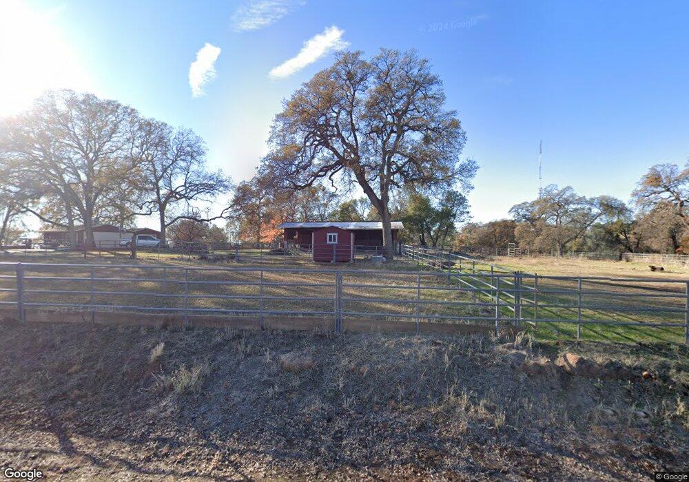
6328 Monitor Rd El Dorado, CA 95623
Estimated Value: $422,000 - $590,000
2
Beds
1
Bath
1,230
Sq Ft
$389/Sq Ft
Est. Value
About This Home
This home is located at 6328 Monitor Rd, El Dorado, CA 95623 and is currently estimated at $478,051, approximately $388 per square foot. 6328 Monitor Rd is a home located in El Dorado County with nearby schools including Herbert C. Green Middle School, Indian Creek Elementary School, and Union Mine High School.
Ownership History
Date
Name
Owned For
Owner Type
Purchase Details
Closed on
May 22, 2019
Sold by
Robert A And Patty L Brand 2002 Trust
Bought by
Brand Patty L
Current Estimated Value
Home Financials for this Owner
Home Financials are based on the most recent Mortgage that was taken out on this home.
Original Mortgage
$300,000
Interest Rate
4.1%
Mortgage Type
New Conventional
Purchase Details
Closed on
Aug 7, 2012
Sold by
Brand Robert A and Brand Patty L
Bought by
Brand Robert A and Brand Patty L
Purchase Details
Closed on
Jul 1, 2005
Sold by
Brand Robert Alvin
Bought by
Brand Robert Alvin and Brand Patty L
Home Financials for this Owner
Home Financials are based on the most recent Mortgage that was taken out on this home.
Original Mortgage
$155,000
Interest Rate
5.58%
Mortgage Type
Stand Alone Refi Refinance Of Original Loan
Create a Home Valuation Report for This Property
The Home Valuation Report is an in-depth analysis detailing your home's value as well as a comparison with similar homes in the area
Home Values in the Area
Average Home Value in this Area
Purchase History
| Date | Buyer | Sale Price | Title Company |
|---|---|---|---|
| Brand Patty L | -- | North American Title Co Inc | |
| Brand Robert A | -- | None Available | |
| Brand Robert Alvin | -- | Placer Title Company |
Source: Public Records
Mortgage History
| Date | Status | Borrower | Loan Amount |
|---|---|---|---|
| Closed | Brand Patty L | $300,000 | |
| Closed | Brand Robert Alvin | $155,000 |
Source: Public Records
Tax History Compared to Growth
Tax History
| Year | Tax Paid | Tax Assessment Tax Assessment Total Assessment is a certain percentage of the fair market value that is determined by local assessors to be the total taxable value of land and additions on the property. | Land | Improvement |
|---|---|---|---|---|
| 2025 | $946 | $93,705 | $26,064 | $67,641 |
| 2024 | $946 | $91,868 | $25,553 | $66,315 |
| 2023 | $926 | $90,067 | $25,052 | $65,015 |
| 2022 | $912 | $88,302 | $24,561 | $63,741 |
| 2021 | $898 | $86,572 | $24,080 | $62,492 |
| 2020 | $886 | $85,686 | $23,834 | $61,852 |
| 2019 | $872 | $84,007 | $23,367 | $60,640 |
| 2018 | $847 | $82,360 | $22,909 | $59,451 |
| 2017 | $831 | $80,746 | $22,460 | $58,286 |
| 2016 | $820 | $79,164 | $22,020 | $57,144 |
| 2015 | $778 | $77,978 | $21,691 | $56,287 |
| 2014 | $778 | $76,453 | $21,267 | $55,186 |
Source: Public Records
Map
Nearby Homes
- 6340 Crystal Blvd
- 6421 Crystal Blvd
- 0 Crystal Blvd Unit 225011054
- 6645 Crystal Blvd
- 5656 Ore Ct
- 6847 Monitor Ct
- 8033 Rancho Cerros Dr
- 6975 Union Mine Rd
- 10-acres Secluded Way
- 4211 China Hill Ct
- 7361 Crystal Blvd
- 3040 Wolverine Ct
- 5147 Union Mine Rd
- 2021 Solitude Way
- 6091 Dutch Mine Rd
- 6128 Dutch Mine Rd
- 7110 Shinn Ranch Rd
- 5076 Treemont Dr
- 112 Union Mine Rd
- 2 Shinn Ranch Rd
- 6300 Monitor Rd
- 6305 Monitor Rd
- 6341 Monitor Rd
- 6360 Monitor Rd
- 6261 Monitor Rd
- 6240 Monitor Rd
- 6321 Crystal Blvd
- 6380 Galena Dr
- 6381 Monitor Rd
- 6341 Crystal Blvd
- 6384 Monitor Rd
- 0 Stope Way
- 0 Stope Way Unit 20000197
- 0 Stope Way Unit 18002484
- 6329 Crystal Blvd
- 6275 Crystal Blvd
- 6285 Crystal Blvd
- 6261 Crystal Blvd
- 5700 Cat Track Ct
- 6361 Crystal Blvd