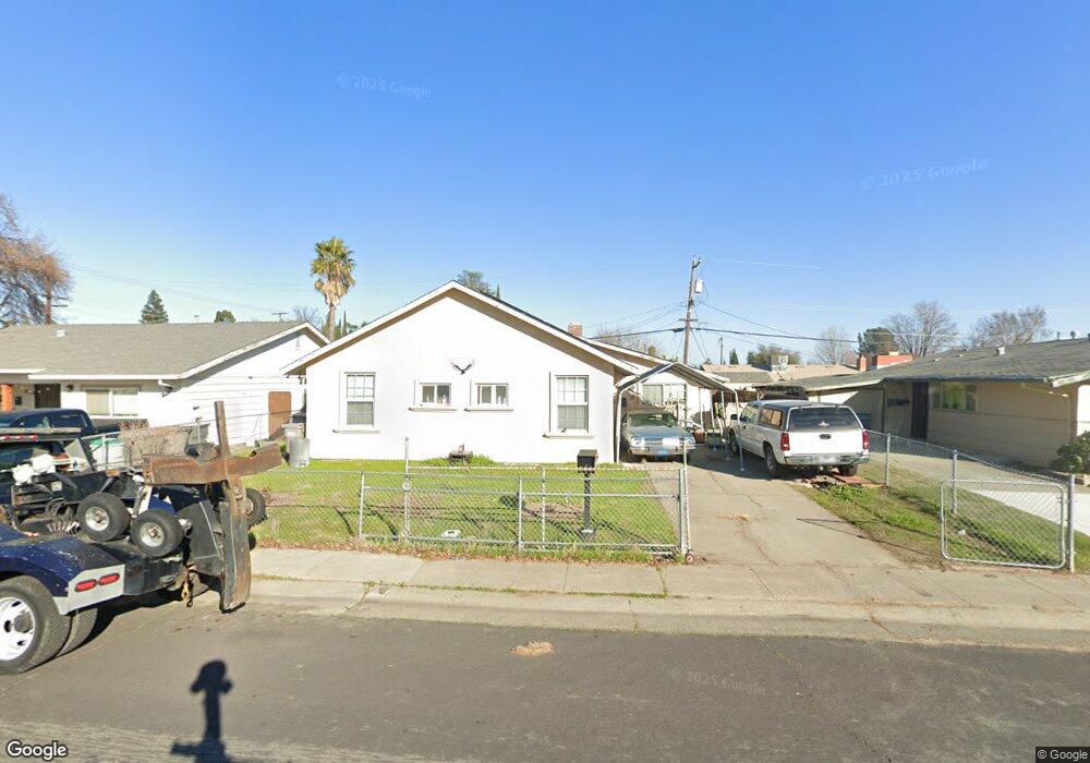
633 Fourness Dr West Sacramento, CA 95605
Broderick-Bryte NeighborhoodEstimated Value: $356,000 - $399,000
3
Beds
2
Baths
1,064
Sq Ft
$356/Sq Ft
Est. Value
About This Home
This home is located at 633 Fourness Dr, West Sacramento, CA 95605 and is currently estimated at $378,352, approximately $355 per square foot. 633 Fourness Dr is a home located in Yolo County with nearby schools including Riverbank Elementary School, River City High, and River Charter Schools Lighthouse Charter.
Ownership History
Date
Name
Owned For
Owner Type
Purchase Details
Closed on
Jun 23, 2011
Sold by
Carlson Glenn H
Bought by
Carlson Cheryl
Current Estimated Value
Home Financials for this Owner
Home Financials are based on the most recent Mortgage that was taken out on this home.
Original Mortgage
$97,465
Outstanding Balance
$66,969
Interest Rate
4.56%
Mortgage Type
FHA
Estimated Equity
$311,383
Purchase Details
Closed on
Oct 11, 2006
Sold by
Mistler Robert D and Mistler Catalina G
Bought by
Jorrin Gregory
Create a Home Valuation Report for This Property
The Home Valuation Report is an in-depth analysis detailing your home's value as well as a comparison with similar homes in the area
Home Values in the Area
Average Home Value in this Area
Purchase History
| Date | Buyer | Sale Price | Title Company |
|---|---|---|---|
| Carlson Cheryl | -- | Placer Title Company | |
| Carlson Cheryl | $100,000 | Placer Title Company | |
| Jorrin Gregory | -- | None Available |
Source: Public Records
Mortgage History
| Date | Status | Borrower | Loan Amount |
|---|---|---|---|
| Open | Carlson Cheryl | $97,465 | |
| Closed | Carlson Cheryl | $3,000 |
Source: Public Records
Tax History Compared to Growth
Tax History
| Year | Tax Paid | Tax Assessment Tax Assessment Total Assessment is a certain percentage of the fair market value that is determined by local assessors to be the total taxable value of land and additions on the property. | Land | Improvement |
|---|---|---|---|---|
| 2025 | $1,495 | $128,104 | $64,052 | $64,052 |
| 2023 | $1,495 | $123,132 | $61,566 | $61,566 |
| 2022 | $1,401 | $120,718 | $60,359 | $60,359 |
| 2021 | $1,387 | $118,352 | $59,176 | $59,176 |
| 2020 | $1,320 | $117,140 | $58,570 | $58,570 |
| 2019 | $1,289 | $114,844 | $57,422 | $57,422 |
| 2018 | $1,264 | $112,594 | $56,297 | $56,297 |
| 2017 | $1,250 | $110,388 | $55,194 | $55,194 |
| 2016 | $1,230 | $108,224 | $54,112 | $54,112 |
| 2015 | $1,158 | $106,600 | $53,300 | $53,300 |
| 2014 | $1,158 | $104,512 | $52,256 | $52,256 |
Source: Public Records
Map
Nearby Homes
- 409 Star City St
- 637 Myrtle Ave
- 1025 Carrie St
- 724 Julian Dr
- 808 Kegle Dr
- 1020 Fremont Blvd
- 1008 Rogers St
- 923 Cummins Way
- 1011 Waterford Dr
- 1399 Sacramento Ave Unit 44
- 1399 Sacramento Ave
- 1399 Sacramento Ave Unit 21
- 1399 Sacramento Ave Unit 110
- 620 Smilax Ave
- 3901 Westlake Dr Unit 123
- 1529 Hobson Ave
- 904 Yolo St
- 1395 Riverbank Rd
- 1617 Lisbon Ave
- 820 Wedge Wood Ct