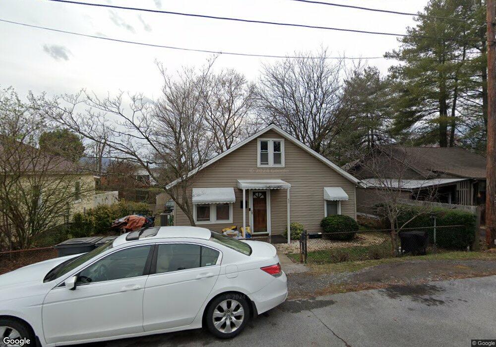
633 Howard St Kingsport, TN 37660
Estimated Value: $67,000 - $171,000
3
Beds
1
Bath
1,025
Sq Ft
$108/Sq Ft
Est. Value
About This Home
This home is located at 633 Howard St, Kingsport, TN 37660 and is currently estimated at $110,580, approximately $107 per square foot. 633 Howard St is a home located in Sullivan County with nearby schools including Andrew Jackson Elementary School, John Sevier Middle School, and Ross N. Robinson Middle School.
Ownership History
Date
Name
Owned For
Owner Type
Purchase Details
Closed on
Nov 30, 2005
Sold by
Hamilton Cornett Shane
Bought by
Larry Quillen Richard
Current Estimated Value
Home Financials for this Owner
Home Financials are based on the most recent Mortgage that was taken out on this home.
Original Mortgage
$27,395
Interest Rate
6.23%
Purchase Details
Closed on
Feb 21, 1996
Bought by
Shane Cornett
Create a Home Valuation Report for This Property
The Home Valuation Report is an in-depth analysis detailing your home's value as well as a comparison with similar homes in the area
Home Values in the Area
Average Home Value in this Area
Purchase History
| Date | Buyer | Sale Price | Title Company |
|---|---|---|---|
| Larry Quillen Richard | $32,230 | -- | |
| Shane Cornett | $29,000 | -- |
Source: Public Records
Mortgage History
| Date | Status | Borrower | Loan Amount |
|---|---|---|---|
| Closed | Shane Cornett | $27,395 |
Source: Public Records
Tax History Compared to Growth
Tax History
| Year | Tax Paid | Tax Assessment Tax Assessment Total Assessment is a certain percentage of the fair market value that is determined by local assessors to be the total taxable value of land and additions on the property. | Land | Improvement |
|---|---|---|---|---|
| 2024 | -- | $13,425 | $1,300 | $12,125 |
| 2023 | $591 | $13,425 | $1,300 | $12,125 |
| 2022 | $591 | $13,425 | $1,300 | $12,125 |
| 2021 | $575 | $13,425 | $1,300 | $12,125 |
| 2020 | $330 | $13,425 | $1,300 | $12,125 |
| 2019 | $595 | $12,825 | $1,300 | $11,525 |
| 2018 | $580 | $12,825 | $1,300 | $11,525 |
| 2017 | $580 | $12,825 | $1,300 | $11,525 |
| 2016 | $523 | $11,250 | $1,300 | $9,950 |
| 2014 | $492 | $11,241 | $0 | $0 |
Source: Public Records
Map
Nearby Homes
- 1824&1828 Netherland Inn Rd
- 1950 W Stone Dr
- 626 Riverside Ave
- 1104 Tay Station
- 702 Riverside Ave
- 1221 Stamp Lodge Rd
- 1109 Tay Station
- 1237 Stamp Lodge Rd
- 1245 Stamp Lodge Rd
- 1461 Gress Mag Mountain
- 1133 Tay Station
- 1249 Stamp Lodge Rd
- 722 Fairview Ave
- 601 Fairview Ave
- 830 Fairview Ave
- 1413 Gress Mag Mountain
- 0 Stonegate Rd
- 2001 Sand St
- 1320 Mimosa Dr
- 529 Walnut Ave
- 629 Howard St
- 637 Howard St
- 625 Howard St
- 217 Bent Ct
- 213 Bent Ct
- 705 Howard St
- 1806 Fort Robinson Dr
- 221 Bent St
- 709 Howard St
- 715 Howard St
- 1814 Fort Robinson Dr
- 214 Bent St
- 719 Howard St
- 233 Bent Ct
- 233 Bent St
- 1822 Fort Robinson Dr
- 723 Howard St
- 237 Bent St
- 1826 Fort Robinson Dr
- 1805 Fort Robinson Dr