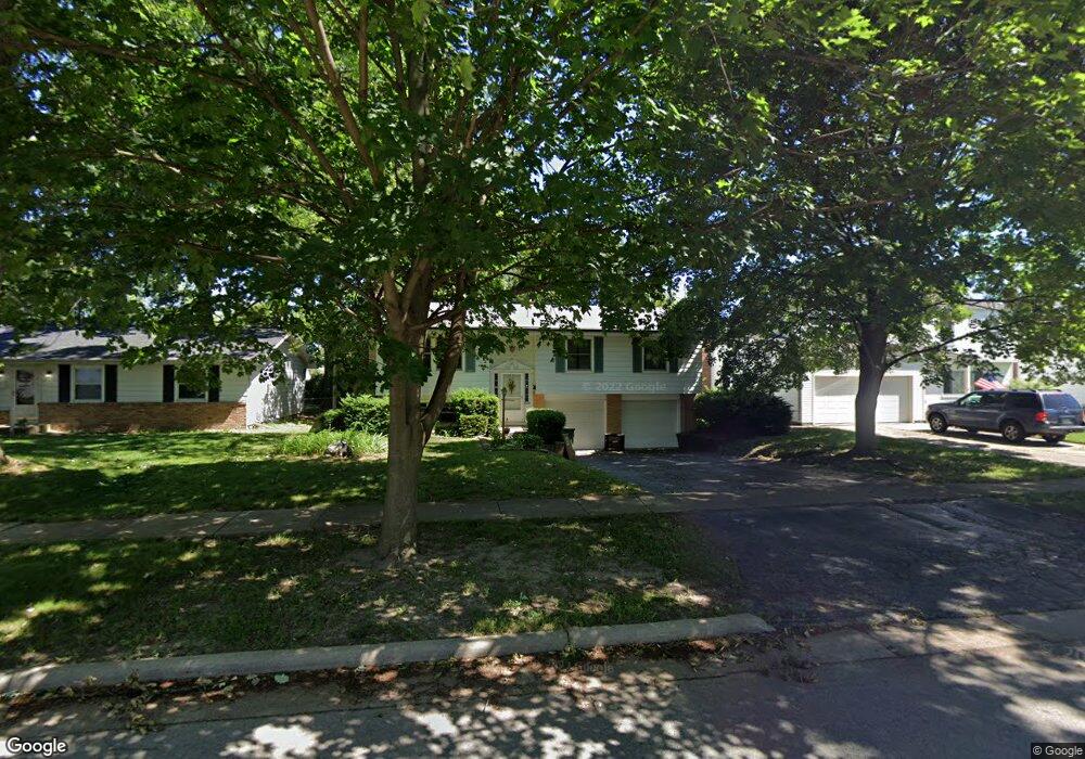
633 Mcintyre Ln Maumee, OH 43537
Estimated Value: $252,000 - $278,000
4
Beds
3
Baths
1,816
Sq Ft
$145/Sq Ft
Est. Value
About This Home
This home is located at 633 Mcintyre Ln, Maumee, OH 43537 and is currently estimated at $263,443, approximately $145 per square foot. 633 Mcintyre Ln is a home located in Lucas County with nearby schools including Fairfield Elementary School, Maumee Intermediate School, and Maumee Middle School.
Ownership History
Date
Name
Owned For
Owner Type
Purchase Details
Closed on
Mar 25, 1996
Sold by
Mullee William J
Bought by
Mchugh Mark E and Mchugh Patricia A
Current Estimated Value
Home Financials for this Owner
Home Financials are based on the most recent Mortgage that was taken out on this home.
Original Mortgage
$92,000
Outstanding Balance
$1,826
Interest Rate
7.06%
Mortgage Type
New Conventional
Estimated Equity
$261,617
Purchase Details
Closed on
Mar 28, 1994
Sold by
Behrmann Scott K
Purchase Details
Closed on
Mar 21, 1988
Sold by
Noethen D A and J A
Create a Home Valuation Report for This Property
The Home Valuation Report is an in-depth analysis detailing your home's value as well as a comparison with similar homes in the area
Home Values in the Area
Average Home Value in this Area
Purchase History
| Date | Buyer | Sale Price | Title Company |
|---|---|---|---|
| Mchugh Mark E | $120,000 | -- | |
| -- | $120,000 | -- | |
| -- | $84,000 | -- |
Source: Public Records
Mortgage History
| Date | Status | Borrower | Loan Amount |
|---|---|---|---|
| Open | Mchugh Mark E | $92,000 |
Source: Public Records
Tax History
| Year | Tax Paid | Tax Assessment Tax Assessment Total Assessment is a certain percentage of the fair market value that is determined by local assessors to be the total taxable value of land and additions on the property. | Land | Improvement |
|---|---|---|---|---|
| 2025 | -- | $82,390 | $9,065 | $73,325 |
| 2024 | $2,650 | $82,390 | $9,065 | $73,325 |
| 2023 | $4,569 | $60,550 | $7,350 | $53,200 |
| 2022 | $4,064 | $60,550 | $7,350 | $53,200 |
| 2021 | $4,393 | $60,550 | $7,350 | $53,200 |
| 2020 | $4,179 | $51,275 | $6,020 | $45,255 |
| 2019 | $4,077 | $51,275 | $6,020 | $45,255 |
| 2018 | $3,723 | $51,275 | $6,020 | $45,255 |
| 2017 | $3,436 | $42,735 | $7,595 | $35,140 |
| 2016 | $3,399 | $122,100 | $21,700 | $100,400 |
| 2015 | $3,383 | $122,100 | $21,700 | $100,400 |
| 2014 | $3,156 | $41,900 | $7,460 | $34,440 |
| 2013 | $3,156 | $41,900 | $7,460 | $34,440 |
Source: Public Records
Map
Nearby Homes
- 632 Brahier Ln
- 541 Dussel Dr
- 611 Greenfield Dr
- 357 Wrexham Ln Unit 101
- 1709 Ashfield Dr
- 1269 Westfield Dr
- 1371 Junior Dr
- 524 Bennington Dr
- 2363 Havenwood Dr
- 99 N Masters Ct
- 2585 W Village Dr
- 2276 Heatherwood Dr
- 2311 Maryann Place
- 2147 Glen Arbor Dr
- 1204 Scott St
- 1419 7th St
- 2274 W Country Club Pkwy
- 1004 Birch Ave
- 1054 Scott St
- 519 Sackett St
- 637 Mcintyre Ln
- 641 Mcintyre Ln
- 625 Mcintyre Ln
- 4455 Thackeray Rd
- 645 Mcintyre Ln
- 4505 Thackeray Rd
- 4449 Thackeray Rd
- 636 Mcintyre Ln
- 632 Mcintyre Ln
- 640 Mcintyre Ln
- 4511 Thackeray Rd
- 4445 Thackeray Rd
- 621 Mcintyre Ln
- 644 Mcintyre Ln
- 649 Mcintyre Ln
- 628 Mcintyre Ln
- 648 Mcintyre Ln
- 4517 Thackeray Rd
- 4435 Thackeray Rd
- 624 Mcintyre Ln
Your Personal Tour Guide
Ask me questions while you tour the home.