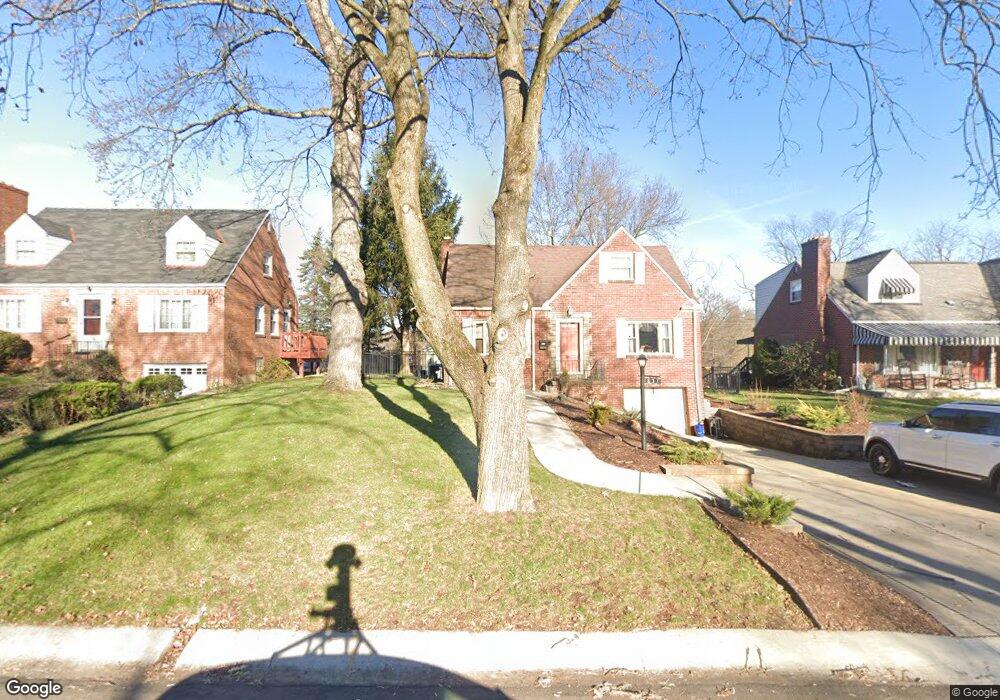
633 Moreland Dr Pittsburgh, PA 15243
Estimated Value: $266,000 - $286,087
3
Beds
2
Baths
1,200
Sq Ft
$229/Sq Ft
Est. Value
About This Home
This home is located at 633 Moreland Dr, Pittsburgh, PA 15243 and is currently estimated at $275,272, approximately $229 per square foot. 633 Moreland Dr is a home located in Allegheny County with nearby schools including Hoover Elementary School, Jefferson Middle School, and Mt Lebanon Senior High School.
Ownership History
Date
Name
Owned For
Owner Type
Purchase Details
Closed on
Apr 16, 2014
Sold by
Kirkham Barbara L
Bought by
Schwartz Derek A
Current Estimated Value
Home Financials for this Owner
Home Financials are based on the most recent Mortgage that was taken out on this home.
Original Mortgage
$93,600
Outstanding Balance
$71,341
Interest Rate
4.41%
Mortgage Type
New Conventional
Estimated Equity
$203,931
Purchase Details
Closed on
Dec 22, 1977
Bought by
Czwalga John J and Czwalga Julia
Create a Home Valuation Report for This Property
The Home Valuation Report is an in-depth analysis detailing your home's value as well as a comparison with similar homes in the area
Home Values in the Area
Average Home Value in this Area
Purchase History
| Date | Buyer | Sale Price | Title Company |
|---|---|---|---|
| Schwartz Derek A | $117,000 | -- | |
| Czwalga John J | $11,500 | -- |
Source: Public Records
Mortgage History
| Date | Status | Borrower | Loan Amount |
|---|---|---|---|
| Open | Schwartz Derek A | $93,600 |
Source: Public Records
Tax History Compared to Growth
Tax History
| Year | Tax Paid | Tax Assessment Tax Assessment Total Assessment is a certain percentage of the fair market value that is determined by local assessors to be the total taxable value of land and additions on the property. | Land | Improvement |
|---|---|---|---|---|
| 2025 | $3,977 | $108,000 | $56,000 | $52,000 |
| 2024 | $3,977 | $108,000 | $56,000 | $52,000 |
| 2023 | $3,891 | $108,000 | $56,000 | $52,000 |
| 2022 | $3,805 | $108,000 | $56,000 | $52,000 |
| 2021 | $4,133 | $108,000 | $56,000 | $52,000 |
| 2020 | $3,697 | $108,000 | $56,000 | $52,000 |
| 2019 | $3,646 | $108,000 | $56,000 | $52,000 |
| 2018 | $511 | $108,000 | $56,000 | $52,000 |
| 2017 | $3,604 | $108,000 | $56,000 | $52,000 |
| 2016 | $511 | $108,000 | $56,000 | $52,000 |
| 2015 | $511 | $126,000 | $56,000 | $70,000 |
| 2014 | $4,081 | $142,800 | $70,500 | $72,300 |
Source: Public Records
Map
Nearby Homes
- 623 Kelso Rd
- 1223 Driftwood Dr
- 600 Pat Haven Dr
- 1241 Arrowood Dr
- 1229 Pinewood Dr
- 809 Bethany Dr
- 1171 Arrowood Dr
- 50 Robb Hollow Rd
- Lot Firwood Dr
- 1512 Worcester Dr
- 840 Robb Hollow Rd
- 1299 Sylvandell Dr
- 1304 Bower Hill Rd
- 1612 Worcester Dr
- 855 Lochlin Dr
- 1923 Berkwood Dr
- 1150 Bower Hill Rd Unit 510B
- 1150 Bower Hill Rd Unit 514B
- 1150 Bower Hill Rd Unit 912A
- 1150 Bower Hill Rd Unit 501B
- 637 Moreland Dr
- 627 Moreland Dr
- 623 Moreland Dr
- 641 Moreland Dr
- 586 Clemson Dr
- 582 Clemson Dr
- 630 Moreland Dr
- 636 Moreland Dr
- 645 Moreland Dr
- 619 Moreland Dr
- 578 Clemson Dr
- 626 Moreland Dr
- 590 Clemson Dr
- 574 Clemson Dr
- 640 Moreland Dr
- 651 Moreland Dr
- 620 Moreland Dr
- 615 Moreland Dr
- 589 Clemson Dr
- 644 Moreland Dr