633 Riverside Dr Whittier, NC 28789
Estimated Value: $284,000 - $425,000
3
Beds
2
Baths
1,352
Sq Ft
$266/Sq Ft
Est. Value
About This Home
This home is located at 633 Riverside Dr, Whittier, NC 28789 and is currently estimated at $359,669, approximately $266 per square foot. 633 Riverside Dr is a home with nearby schools including Swain County Middle School, Swain County East Elementary School, and Swain County High School.
Ownership History
Date
Name
Owned For
Owner Type
Purchase Details
Closed on
Jan 8, 2018
Sold by
Brigham Elizabeth J
Bought by
Armstrong Robert J and Armstrong Jennifer S
Current Estimated Value
Home Financials for this Owner
Home Financials are based on the most recent Mortgage that was taken out on this home.
Original Mortgage
$171,000
Outstanding Balance
$144,156
Interest Rate
3.9%
Mortgage Type
New Conventional
Estimated Equity
$215,513
Purchase Details
Closed on
Jun 27, 2016
Sold by
Spratling Trudy and Spratling James
Bought by
Hossli Anton and Hossli Yvonne
Create a Home Valuation Report for This Property
The Home Valuation Report is an in-depth analysis detailing your home's value as well as a comparison with similar homes in the area
Home Values in the Area
Average Home Value in this Area
Purchase History
| Date | Buyer | Sale Price | Title Company |
|---|---|---|---|
| Armstrong Robert J | $190,000 | None Available | |
| Hossli Anton | $95,000 | None Available |
Source: Public Records
Mortgage History
| Date | Status | Borrower | Loan Amount |
|---|---|---|---|
| Open | Armstrong Robert J | $171,000 |
Source: Public Records
Tax History
| Year | Tax Paid | Tax Assessment Tax Assessment Total Assessment is a certain percentage of the fair market value that is determined by local assessors to be the total taxable value of land and additions on the property. | Land | Improvement |
|---|---|---|---|---|
| 2025 | $1,075 | $192,690 | $70,200 | $122,490 |
| 2024 | $1,075 | $192,690 | $70,200 | $122,490 |
| 2023 | $944 | $192,690 | $70,200 | $122,490 |
| 2022 | $944 | $192,690 | $70,200 | $122,490 |
| 2021 | $944 | $192,690 | $0 | $0 |
| 2020 | $469 | $109,360 | $43,130 | $66,230 |
| 2019 | $469 | $109,360 | $43,130 | $66,230 |
| 2018 | $469 | $109,360 | $43,130 | $66,230 |
| 2017 | $469 | $109,360 | $43,130 | $66,230 |
| 2016 | $469 | $109,490 | $43,260 | $66,230 |
| 2015 | -- | $109,490 | $43,260 | $66,230 |
| 2014 | -- | $109,490 | $43,260 | $66,230 |
Source: Public Records
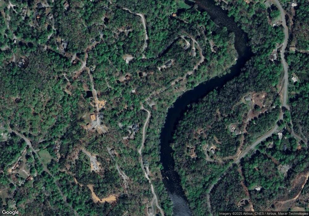
Map
Nearby Homes
- 00 Riverside Dr
- 00 Riverside Dr Unit 33/34
- 412 Holley Mountain Top Rd
- 44 Riverside Dr
- Lot 11 Blue Mist Mountain Rd
- 6125 Ela Rd
- 111 Kenneth Cooper Rd
- 415 Passmore Ln
- 345 Cardinal Bluff Dr
- Lot 5 Horseshoe Bluff
- 701 Cardinal Bluff Dr
- Lot 26 E Mesa Rd
- Lot 4 E Mesa Rd
- 0 Ela Rd
- 585 Cardinal Bluff Rd
- 406 Cardinal Bluff Rd
- 536 Cardinal Bluff Rd
- 120 Conleys Creek Rd
- 15 Wright Rd
- Lot 3 Red Dog Ln
- TBD Riverside Dr
- lot 21 Riverside Dr
- n/a Riverside Dr
- 579 Riverside Dr
- 1450 Mountain Laurel Dr
- 1550 Mountain Laurel Dr
- 0 Mountain Laurel Dr
- 1621 Mountain Laurel Dr
- 139 Rhododendron Hill
- Lot #21 Riverside Dr Unit 21
- 577 Riverside Dr
- 1638 Mountain Laurel Rd
- 1638 Mountain Laurel Dr
- 573 Holley Mountain Top Rd
- 1685 Mountain Laurel Dr
- 1335 Mountain Laurel Dr
- 575 Holley Mountain Top Rd
- 1670 Mountain Laurel Dr
- 554 Holley Mountain Top Rd
- 490 Riverside Dr
Your Personal Tour Guide
Ask me questions while you tour the home.