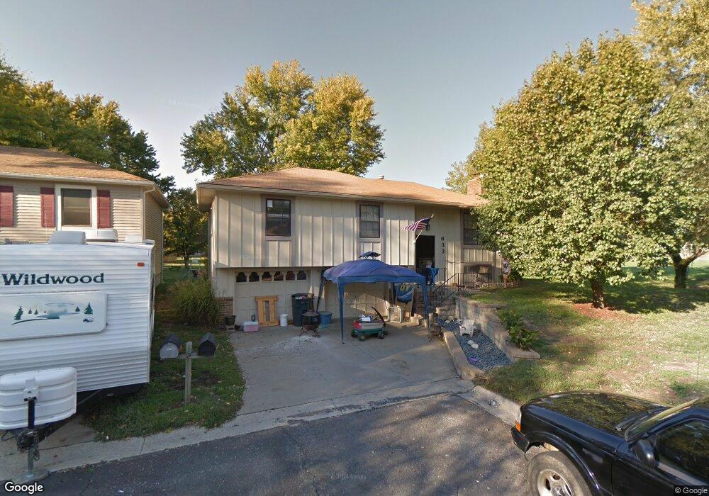
633 Trant St Kansas City, KS 66111
Estimated Value: $237,000 - $254,000
3
Beds
2
Baths
1,018
Sq Ft
$241/Sq Ft
Est. Value
About This Home
This home is located at 633 Trant St, Kansas City, KS 66111 and is currently estimated at $245,732, approximately $241 per square foot. 633 Trant St is a home located in Wyandotte County with nearby schools including Robert E Clark Middle School and Bonner Springs High School.
Ownership History
Date
Name
Owned For
Owner Type
Purchase Details
Closed on
Dec 9, 2021
Sold by
Bush Shelby Glenn and Bush Shelby
Bought by
Bush Shelby Glenn and Shelby Glenn Bush Revocable Tr
Current Estimated Value
Purchase Details
Closed on
Nov 9, 2003
Sold by
Tallman Adele and Tallman Donald
Bought by
Bush Shelby
Home Financials for this Owner
Home Financials are based on the most recent Mortgage that was taken out on this home.
Original Mortgage
$59,000
Outstanding Balance
$24,960
Interest Rate
4.75%
Mortgage Type
Purchase Money Mortgage
Estimated Equity
$220,772
Create a Home Valuation Report for This Property
The Home Valuation Report is an in-depth analysis detailing your home's value as well as a comparison with similar homes in the area
Home Values in the Area
Average Home Value in this Area
Purchase History
| Date | Buyer | Sale Price | Title Company |
|---|---|---|---|
| Bush Shelby Glenn | -- | None Available | |
| Bush Shelby | -- | -- |
Source: Public Records
Mortgage History
| Date | Status | Borrower | Loan Amount |
|---|---|---|---|
| Open | Bush Shelby | $59,000 |
Source: Public Records
Tax History Compared to Growth
Tax History
| Year | Tax Paid | Tax Assessment Tax Assessment Total Assessment is a certain percentage of the fair market value that is determined by local assessors to be the total taxable value of land and additions on the property. | Land | Improvement |
|---|---|---|---|---|
| 2024 | $3,579 | $23,943 | $4,132 | $19,811 |
| 2023 | $3,575 | $22,275 | $3,321 | $18,954 |
| 2022 | $3,051 | $18,917 | $3,083 | $15,834 |
| 2021 | $2,751 | $16,093 | $2,855 | $13,238 |
| 2020 | $2,615 | $14,900 | $2,731 | $12,169 |
| 2019 | $2,547 | $14,191 | $2,731 | $11,460 |
| 2018 | $2,445 | $13,778 | $2,331 | $11,447 |
| 2017 | $2,372 | $13,248 | $2,331 | $10,917 |
| 2016 | $2,413 | $13,386 | $2,331 | $11,055 |
| 2015 | $2,415 | $13,386 | $2,331 | $11,055 |
| 2014 | $2,207 | $13,124 | $2,331 | $10,793 |
Source: Public Records
Map
Nearby Homes
- 738 S 9th St
- 507 Newton St
- 240 White St Unit LOT 240
- 603 Newton St
- 507 High St
- 781 Highland Dr
- 824 Highland Dr
- 828 Highland Dr
- 789 Highland Dr
- 800 Highland Dr
- 20823 W 45th Terrace
- 4531 Woodstock St
- 10506 Shelton Ave
- 1803 S 98th St
- 1630 S 105th Terrace
- 1548 S 105th Ct
- 98th Metropolitan Ave
- 9687 Metropolitan Ave
- 21222 W 48th St
- 4817 Marion St