6332 17th Street Cir E Sarasota, FL 34243
Estimated Value: $1,123,000 - $2,682,000
--
Bed
--
Bath
17,500
Sq Ft
$121/Sq Ft
Est. Value
About This Home
This home is located at 6332 17th Street Cir E, Sarasota, FL 34243 and is currently estimated at $2,115,572, approximately $120 per square foot. 6332 17th Street Cir E is a home located in Manatee County with nearby schools including Kinnan Elementary School, Electa Lee Magnet Middle School, and Southeast High School.
Ownership History
Date
Name
Owned For
Owner Type
Purchase Details
Closed on
Jun 5, 2013
Sold by
Pcrk Properties Lc
Bought by
Gulf Coast Panama Jack Inc
Current Estimated Value
Home Financials for this Owner
Home Financials are based on the most recent Mortgage that was taken out on this home.
Original Mortgage
$411,000
Outstanding Balance
$290,794
Interest Rate
3.37%
Mortgage Type
Commercial
Estimated Equity
$1,824,778
Purchase Details
Closed on
Mar 13, 2002
Sold by
Solomon Group Manatee Cty Inc
Bought by
P C R K Properties L C
Home Financials for this Owner
Home Financials are based on the most recent Mortgage that was taken out on this home.
Original Mortgage
$1,041,900
Interest Rate
6.98%
Mortgage Type
Commercial
Create a Home Valuation Report for This Property
The Home Valuation Report is an in-depth analysis detailing your home's value as well as a comparison with similar homes in the area
Home Values in the Area
Average Home Value in this Area
Purchase History
| Date | Buyer | Sale Price | Title Company |
|---|---|---|---|
| Gulf Coast Panama Jack Inc | $577,500 | Attorney | |
| P C R K Properties L C | $113,800 | -- |
Source: Public Records
Mortgage History
| Date | Status | Borrower | Loan Amount |
|---|---|---|---|
| Open | Gulf Coast Panama Jack Inc | $411,000 | |
| Previous Owner | P C R K Properties L C | $1,041,900 |
Source: Public Records
Tax History Compared to Growth
Tax History
| Year | Tax Paid | Tax Assessment Tax Assessment Total Assessment is a certain percentage of the fair market value that is determined by local assessors to be the total taxable value of land and additions on the property. | Land | Improvement |
|---|---|---|---|---|
| 2025 | $24,953 | $1,375,752 | -- | -- |
| 2024 | $24,953 | $1,469,870 | $317,475 | $1,152,395 |
| 2023 | $23,096 | $1,319,089 | $317,475 | $1,001,614 |
| 2022 | $21,199 | $1,186,781 | $249,375 | $937,406 |
| 2021 | $18,873 | $1,036,831 | $249,375 | $787,456 |
| 2020 | $18,423 | $982,266 | $249,375 | $732,891 |
| 2019 | $17,433 | $944,386 | $249,375 | $695,011 |
| 2018 | $15,405 | $754,314 | $43,575 | $710,739 |
| 2017 | $13,734 | $693,799 | $0 | $0 |
| 2016 | $12,552 | $583,453 | $0 | $0 |
| 2015 | $11,382 | $559,807 | $0 | $0 |
| 2014 | $11,382 | $510,000 | $0 | $0 |
| 2013 | $10,237 | $470,367 | $52,290 | $418,077 |
Source: Public Records
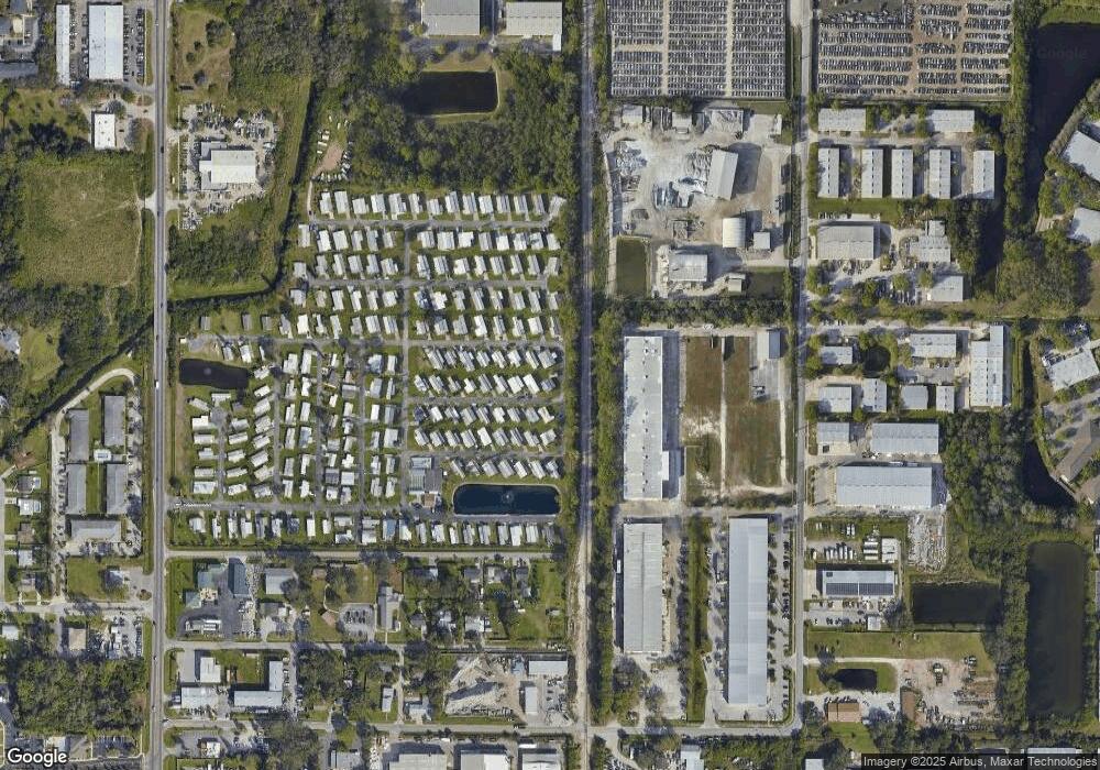
Map
Nearby Homes
- 6515 15th St E Unit E4
- 6515 15th St E Unit L14
- 6515 15th St E Unit C18
- 6515 15th St E Unit G14
- 6515 15th St E
- 6515 15th St E Unit G17
- 6515 15th St E Unit G18
- 6515 15th St E Unit B-12
- 6515 15th St E Unit C02
- 6515 15th St E Unit J11
- 6515 15th St E Unit L-21
- 6515 15th St E Unit B02
- 6515 15th St E Unit K5
- 1320 Magellan Dr
- 6555 Connecticut Ave
- 5928 13th Street Ct E
- 1026 61st Avenue Dr E
- 1117 Angela Maria Rd
- 1116 Danny Dr
- 1125 Longfellow Way Unit 125B
- 6336 17th Street Cir E
- 6340 17th Street Cir E
- 6319 17th Street Cir E
- 34243 17th St E
- 6304 17th Street Cir E
- 1609 63rd Ave E
- 1855 63rd Ave E
- 1520 63rd Ave E
- 6309 15th St E
- 6208 17th St E
- 6219 15th St E
- 6160 17th St E
- 6211 15th St E Unit V
- 6211 15th St E Unit 71
- 6211 15th St E Unit 82
- 6211 15th St E Unit 28
- 6211 15th St E Unit 26
- 6326 15th St E
- 6350 15th St E
- 6324 15th St E